Good Thursday, everyone. Things are looking much, much better across the region over the next couple of days. That’s the good news. The bad news is we have another system moving in here over the big Halloween weekend that’s just around the corner.
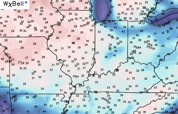
Winds will continue to be rather gusty today as sunny skies return on a colder northwesterly wind. That will knock out temps way down overnight into Friday morning. A little frost on the pumpkins is a good bet with these kind of temps…
The rest of Friday features sunny skies and temps in the 50s. That’s a great start to Breeders Cup Weekend out at Keeneland.
A southern storm system will throw some moisture our way on Halloween. How much and how fast are questions we still have to answer over the next few days. One thing is apparent… we’re likely to see, at least, a few showers late Saturday into Saturday evening.
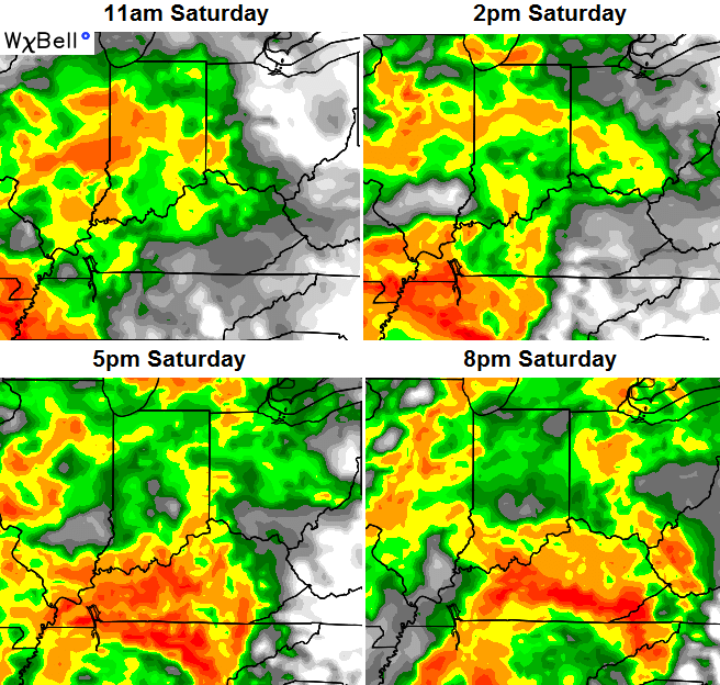
The NAM future radar is the wettest looking of all the models…
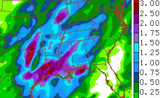
Tha NAM actually spits out some hefty rain totals through Saturday night…
The Canadian Model isn’t as robust with the Saturday rains, but still shows a few showers moving in during the afternoon and evening…
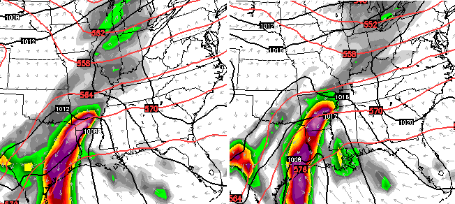
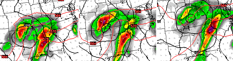
Notice how it keeps a lot of the energy bundled across Texas. The same model then brings that heavy rain maker through here Sunday and Monday…
I will keep watching the latest trends on the weekend and will have another update later today.
Enjoy your Thursday and take care.

Chris what about winter are we going to see it anytime soon
Thanks Chris. Looks like we should get out and enjoy the ‘pre-weekend’ today and tomorrow. Part of Saturday doesn’t look too bad either. Guess we will see. Have a great Friday Eve everyone.
I for one hope snow just goes on by.
Wow, crazy how inconsistent the models are just 2 days out?