Good Thursday evening, folks. Our HUGE weekend is about to start out in a gorgeous note, but that doesn’t mean the rest of the weekend will be equally as nice. As a matter of fact, rain arrives late Saturday and will carry us through Sunday.
Friday’s weather is great with the frosty 30s to start and mid to upper 50s to end. A mix of sun and clouds will be noted.
Saturday is when we will REALLY be watching the showers coming in from the west. The timing on the arrival of the rain is critical for all the big outdoor events. From the Breeders’ Cup to trick or treating to UK/UT… it’s a forecast that has a lot of pressure with it.
As of now, showers should arrive in western Kentucky late morning into the afternoon. That puts central Kentucky in play for some showers by the time we get into the evening hours. The exact timing remains to be seen.
The Hi-Res NAM rainfall totals forecast is a different way of tracking the progress of the showers. The maps below show how much rain the model thinks falls by the individual times…
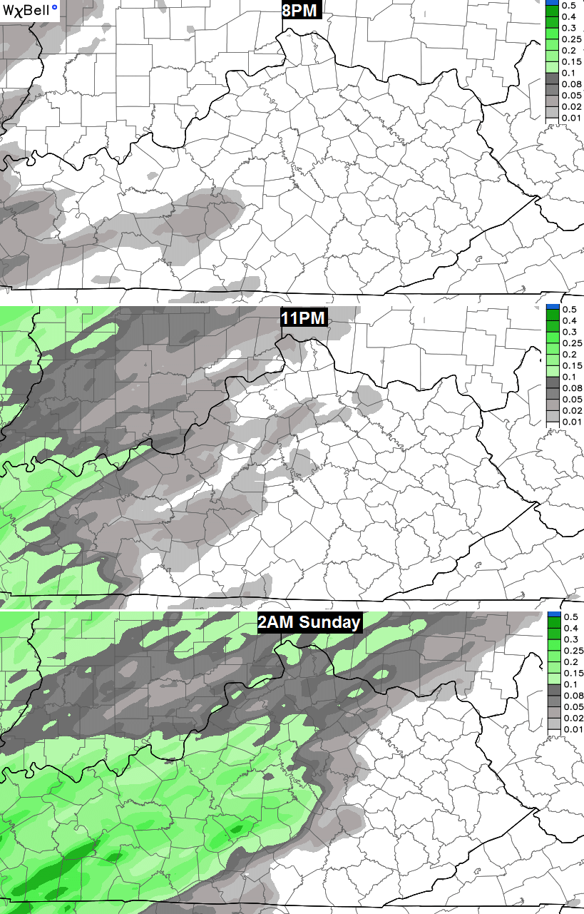 You can clearly see how the rains increase quickly during the late evening hours. If I’m going to any outdoor event Saturday evening, I’m defiantly playing it safe and taking the rain gear, and hoping to not have to use it much.
Showers then ramp up into Sunday, but the Canadian Model continues to show very heavy rains late Sunday and Monday…
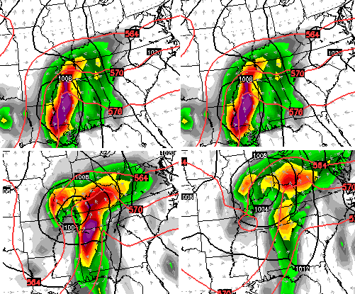 Most of the other models do not show that much rain at the moment.
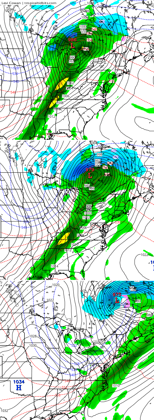
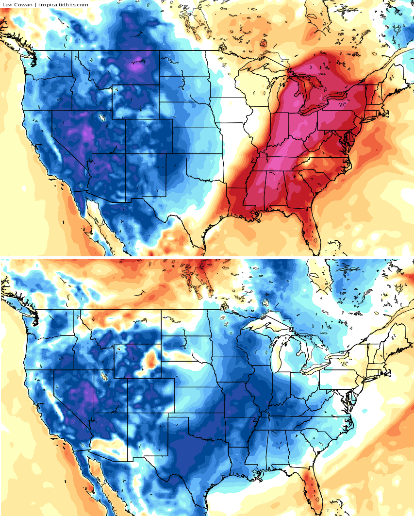
The 70s are coming for much of next week, but a powerful cold front continues to show up on several models by the end of the week into the following weekend. That could give us a drastic change…
 I will have a full update later tonight. Take care.

Thanks Chris. Maybe we can get through most often day Saturday before the rain sets in. Would like to get through the football game Satufday afternoon without it. Guess we will see.
rain stay away till after dark. Gonna get my last little bit of fishing done for the year probably, as well as pull some trail cam cards. A good day to get out into the great outdoors.
I’m LOVING the temps! I had my windows open and the window fan on exhaust until around 7 pm. No heat/AC the past 2 weeks and counting.
I wondered about those maps Chris because the HPC doesn’t show a huge amount of rain here the next 7 days……..so I’m guessing it’s because what you said that the other models don’t show that much rain, just the Canadian…So I guess we will see what happens
Tonight was our trick or treat weather was nice except that wind but it calmed down.We had alot of little ones and some not so little lol.Another Halloween in the books!!!