Good evening, gang. Our gorgeous stretch of late September in early November is about to come to an end. A strong cold front arrives Friday with gusty showers and thunderstorms and chilly temps for the weekend.
This unleashes a pattern that is very active into the middle of the month. It’s also one that will slowly take on more of a wintry look into the second half of the month.
We have a big storm likely to impact the region later next week, but a sneaky system is going to try and throw some showers our way Monday or Tuesday…
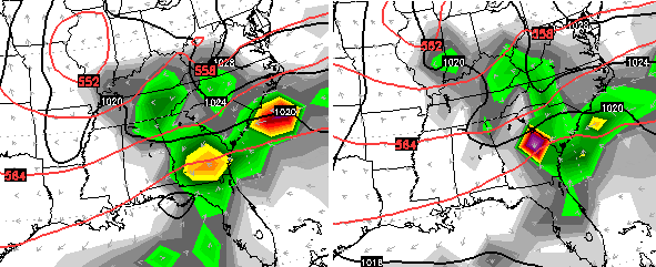 That’s from the European Model and is something the model has been hinting at with recent runs. I’m not totally sold on that just yet, but it bears watching.
The next storm system coming down the road by Wednesday and Thursday looks potent. The GFS wraps up a strong low rolling into the Great Lakes…
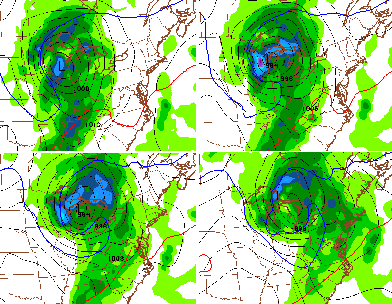 That would then bring much colder air into the region as the low passes by to our north.
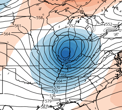
The latest run from the European Model has more of a bowling ball looking storm rolling in…
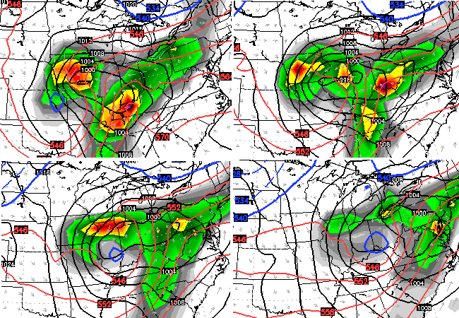 That’s what you get with this type of a setup aloft…
 I’m not really sure that scenario plays out like that. The European likes to hold on to too much energy in the southwest and I think that’s what’s happening here. We’re likely to see a deeper trough following up the late week storm. Time will tell.
Enjoy the evening and take care.
