Good Thursday, everyone. Our run of September temps is about to come to an end as a strong cold front sweeps across Kentucky on Friday. That front appears to kick off another very active weather pattern that’s likely to carry us through much of November.
Winds increase a bit today as highs hit the 70s, again. Clouds will also thicken up with a small chance for a shower going up.
A line of strong and severe storms may develop west of the Mississippi River this evening and work toward the western part of the state later tonight. That line should weaken some as it works across the rest of the state on Friday. Winds will be very gusty, with our without storms.
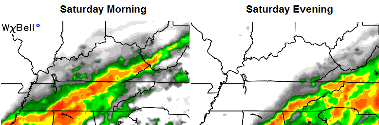
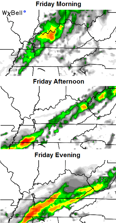 That front slows down just to our southeast early Saturday with lingering rains across parts of the south and east…
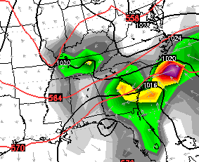
 Chilly and dry air wins the battle as the day wears on with highs in the 50s. Readings by Sunday morning drop into the low and mid 30s for many. The rest of Sunday looks pretty darn nice with low 50s under partly cloudy skies. Upper 20s will start our Monday with afternoon clouds on the increase. Those clouds may produce a few showers into Tuesday…
Another storm system rolls our way by late Wednesday and Thursday of next week. With this crazy and chaotic upper air pattern, the models are all over the place on how to handle it. The Canadian brings it right across our region…
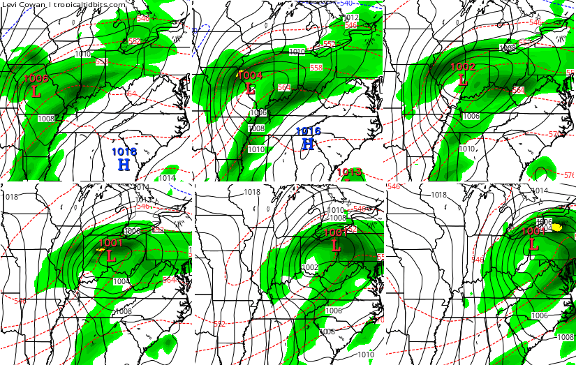
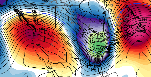
Systems are coming at us every few days in a setup like this. One of them is going to really amplify into the middle of the month. It’s impossible to tell which one that will be at this point. The European Ensembles are trying to pump up a west coast ridge and develop that deep trough around the middle of the month…
Another update comes your way later. Enjoy the day and take care.

Need rain here in SE KY…have not received an inch counted last three weeks combined…hoping Friday/Saturday rain holds true…