Good Sunday evening, folks. We’re putting the wraps on a gorgeous early November weather day in the bluegrass state. Throw that out the window as we roll into Monday. That’s when a chilly rain overspreads the region to kick off a very active pattern going forward.
Showers quickly develop from south to north Monday morning with the heaviest rains in the central and east. Temps stay in the 40s for much of the day.
Showers push out later Tuesday as we await the arrival of a bigger storm coming late Wednesday into Thursday. That big area of low pressure winds up across the plains states and works into the Great Lakes. As it does so, a line of thunderstorms blows up along the front it’s dragging into the Ohio Valley…
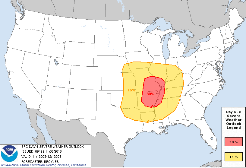
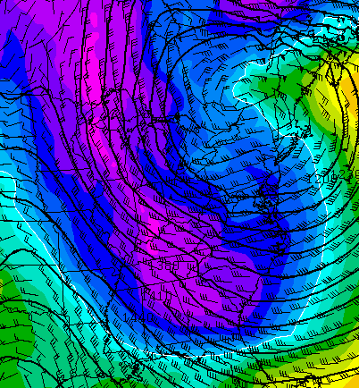
 That’s a photogenic little fella on the NAM simulated radar for Wednesday evening. There is the potential for strong to severe storms as that line sweeps in. The Storm Prediction Center has a somewhat rare day 4 outlook…
 We will see how that works itself out in the coming days. Very gusty winds will be possible with or without that line of storms.
Chilly air initially sweeps back in behind that front with the colder air lagging behind by a day or so…


The next system coming in behind that for early next week is handled differently by each of the models. That’s always the case from this far away. Point is, they all have some kind of big storm system impacting our region. The new GFS is the coldest…
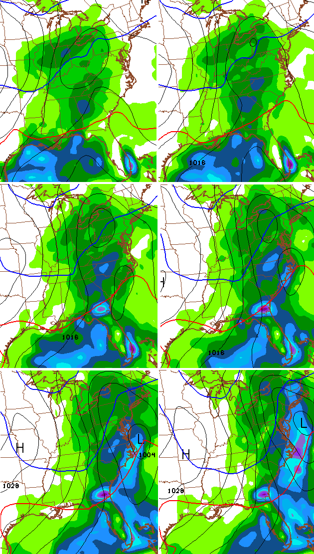
Another amplification takes place later in the week…
This is going to be fun tracking all these big systems and seeing which of them, if any, bring us wintry weather. I suspect that will indeed be the case before the month is over.
See you guys and gals later tonight. Take care.

I still think this will end up being the winter of wet snow storm threats, especially in Eastern KY….can’t wait to see how this Super “Nino” plays out:)
My wish cast for November snowfall this month? ~2 inches. Only time will tell…
this winter could be.one of erratic swings in the pattern from severe weather and tornado threats to ice storms and heavy snow events and thunder snow. also some high wind events. this winter could be very wild indeed with off and on cold plunges and warm periods.let us see how this el nino plays out.