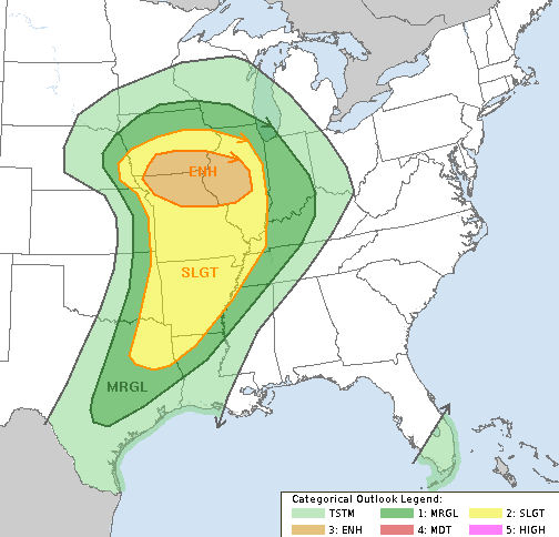
Good evening, gang. We have a strong cold front on the way to the bluegrass state later Wednesday into early Thursday. This will bring gusty winds and a line of showers and thunderstorms across our part of the world.
As expected, the greatest risk for a strong or severe storm is across far western Kentucky…
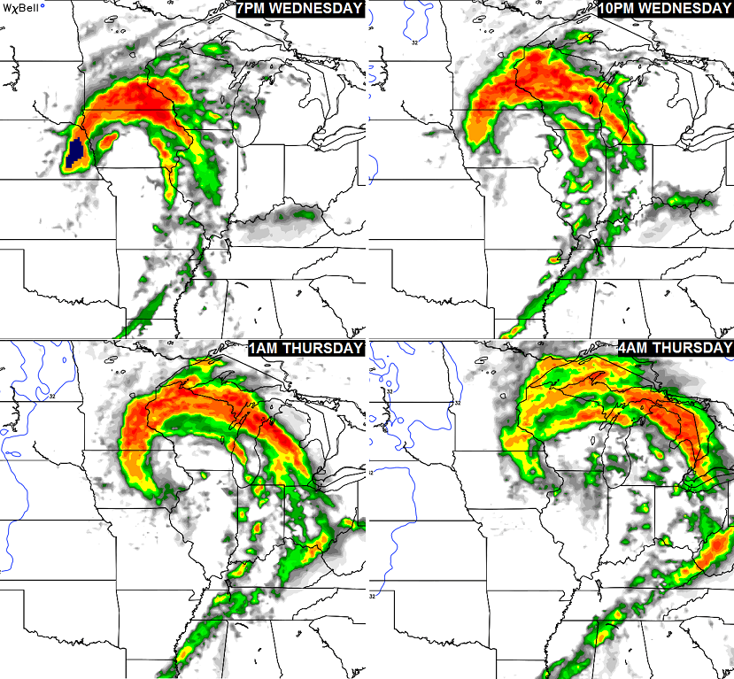
 That line of showers and storms zips through here Quickly Wednesday night. Here’s the latest timing from the NAM future radar…
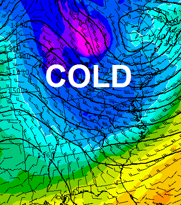
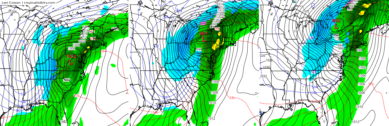
 The best dynamics for severe weather will be well to our northwest, but high winds will still be a big player. Gusts from 30-40mph will be likely Wednesday night into Thursday as that low wraps up across the Great Lakes.
Another front moves in Friday with colder air for the weekend…
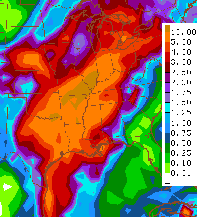
 After that… this busy pattern gets even wilder as the jet stream really buckles with huge storm systems developing one right after the other. To see just how active this pattern may be, check out the 2 week precipitation forecast from the GFS…
 I say precipitation because we have to be on guard for one of those systems to tap cold air and produce some winter weather. The GFS late next weekend into the start of Thanksgiving week…
 Enjoy the rest of your evening and take care.
