Good Friday evening, gang. I wanted to drop by for a quick update on a pretty wild pattern setting up for the rest of November.
After a chilly and dry weekend, the weather gets cranking early next week with a powerful storm developing to our west…
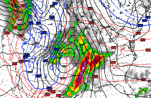 That system brings an increase in rain Monday into Tuesday with the bulk of the action arriving Tuesday night into Wednesday…
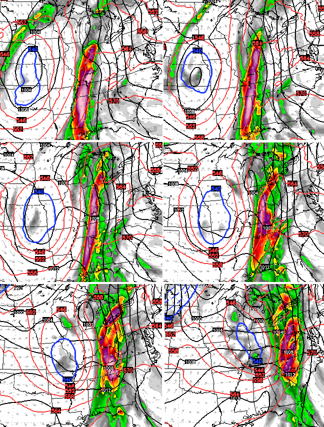 Such a slow-moving and powerful storm can put down a lot of rain around here. High water issues are a real possibility into the middle of next week.
Much colder air comes in behind that for the end of the week and introduces a pattern that has much more of a wintry look. We will have to watch a potential system next weekend that sets the stage for even bigger potential Thanksgiving Week…
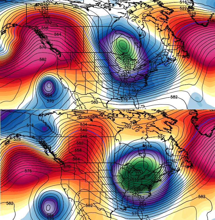
Blocking across Greenland and blocking in the eastern Pacific is really getting my attention. Those two can cause some winter mischief across the country in the closing weeks of the month.
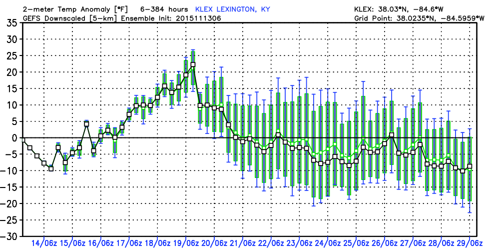
The GFS Ensembles average temps for Lexington show how readings begin to really trend below normal…
I will have your regularly scheduled full update later tonight. Enjoy the evening and take care.

Run of the 18z GFS for next week has flooding problems written all over it.
That depends how much moisture comes from the gulf ahead of the front. Twc has mention mainly south of us. But only mother nature knows.
TWC = This’s, Wrong, Chump?!