Good Monday evening, folks. Showers continue to push across western and central Kentucky with action well out ahead of our big midweek storm. That promises to bring high winds, storms and heavy rains to our region. There’s nothing more I can say about that as we’ve had you ready for it for more than a week.
The wintry potential following this storm continues to get my attention. Not because I think some massive event is about to take place, but because early seasons setups are always tricky. It’s easy to nail the pattern, but the details are much tougher.
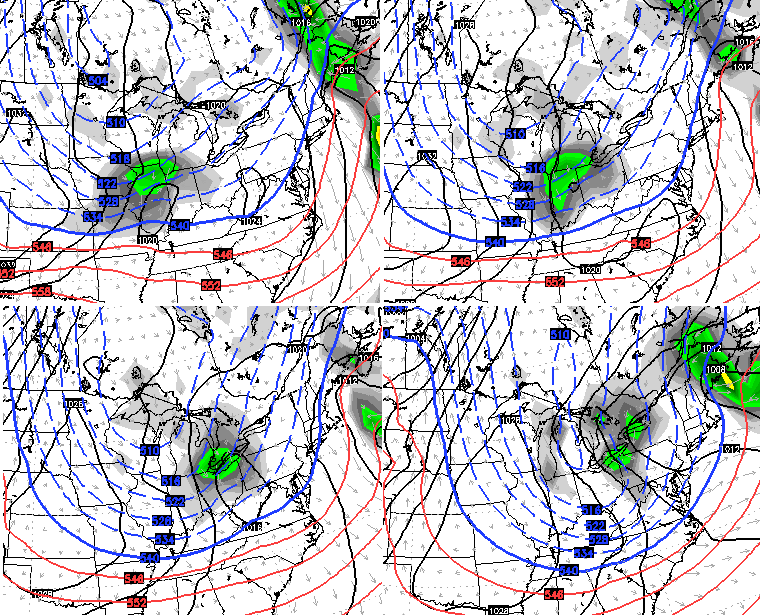
A nice cold blast sweeps in here over the coming weekend and could bring some rain and snow to our region. The European Model suggests that for Saturday with the potential for some flurries Saturday night into Sunday on a strong northwesterly wind flow…
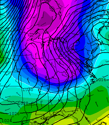
 This is cold coming behind it…
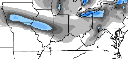
 The GFS and Canadian Models also suggest the possibility of the first flakes…
GFS
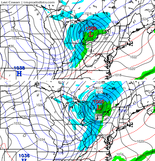
Canadian
The European Ensembles show the potential, too…
Again, the devil is always in the details, but we have the chance to see our first flakes of the season this weekend.
Additional shots of winter weather should move in Thanksgiving week into the following week. Blocking in the eastern Pacific is the key to these systems and the models are going to have a tough go in handling it all.
Make it a great evening and take care.

Oh no, here we go! I will start obsessing with this blog every day from now until spring. Morning exercise routine shot to heck! (my winter excuse!)
I obsess with it as well in the winter!
It does feel good to be back.
It is exciting to see our first chance for flakes before Thanksgiving, even though the last couple of years have been earlier around Halloween. Shoot at this point, I would be happy with plain o rain in SE KY as the past 6 weeks have been dry in this part of the state…
Ready for the winter “blocking” party:)
Thanks Chris. Right now just watching the rain chances mid week. Love the heads up as it gives me an idea of how to dress for work. (I’m in and out many times a day ). Other folks who work with me ask me about the weather almost daily. I tell them but also try to point them in the direction of the blog. Have s good evening all. Thanks again for the update Chris.
Thanks Chris as always will be following the blog closely.Doesn’t Rolo-and Bubba ģ come with the first flakes?