Good Sunday, everyone. We’re putting the wraps on pretty decent weather weekend in the bluegrass state. The only issues have been from some freezing fog. I hope you’ve enjoyed the quietness because our pattern is ready to kick it up a notch… Again.
Clouds increase from west to east today with some evening showers breaking out in the west. Those chilly showers then roll eastward tonight into Monday…
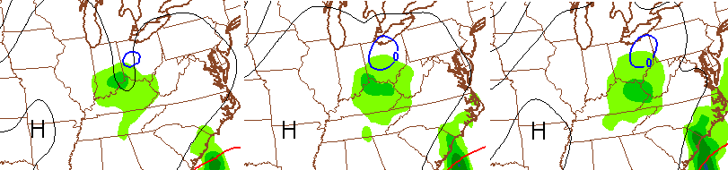
That’s from an upper level low zipping across our region. Another one follows that up around Wednesday with more of the same…

A big spike in temps is on the way by the end of the week as a much stronger storm develops in the plains. That rolls across our region this weekend with some wild weather possible…
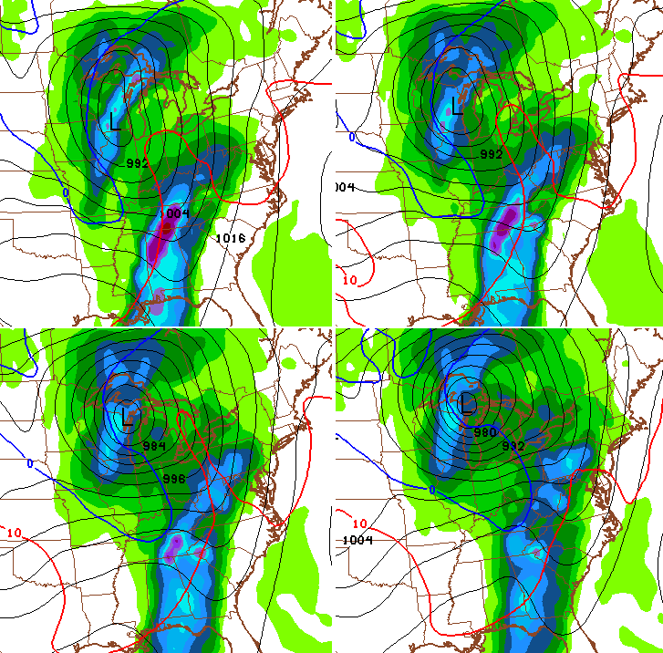
Some thunder and gusty winds could give way to a healthy temp crash and some flakes as the storm sweeps across the region.
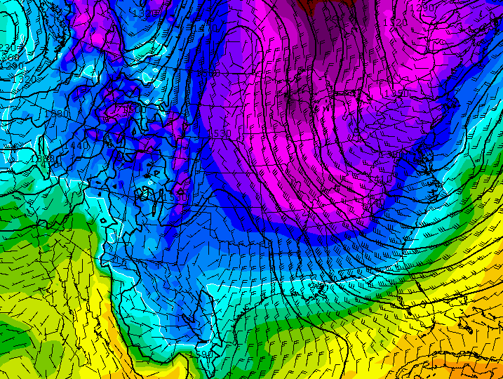
This essentially begins the middle of the month pattern change I’ve been highlighting. It’s one that can usher in much colder air for many folks. The GFS drives northerly winds all the way to Cuba…
That’s a setup, if real, may feature winter weather threats around here. Those are threats I will update later today. Until then, here are your radars to find whatever is showing up to our west…

Enjoy your Sunday and take care.
