Good evening, gang. A strong cold front is blasting across the bluegrass state, and will bring some winter weather our way over the next few days. This setup is much more typical of December with cold temps and the possibility of snowflakes in the air.
Rains increase across central and eastern Kentucky tonight as a wave of low pressure works through here. This happens as temps crash overnight from west to east. By morning, the GFS continues to suggest some wet snowflakes mixing in with the back edge of the rain shield…
 That will be interesting to watch into the first half of Thursday. Afternoon temps stay in the upper 30s to low 40s for much of the state with gusty winds.
Rain totals through Thursday continue to show some local 1″ amounts…

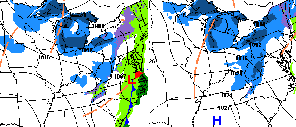
A couple of disturbances work in here from Thursday night through Friday night. These will kick off some snow flurries and snow showers. Even the folks at the WPC are now showing this action…
 I can see a small accumulation across parts of the north and east Friday evening into Friday night. Small being the key word.
The hi res NAM shows a cold Friday afternoon for our entire region…
 I leave you with your weather tracking toys…

Enjoy the rest of the evening and take care.
