Good Thursday everyone! Here is hoping things are wonderful in your world. The weather has been nothing short of wonderful the past few days with our blue September sky and warm temps. You gotta love fall in Kentucky! But… fall is a time for change and that is just what our weather will be doing over the coming days with some big changes lining up for next week.
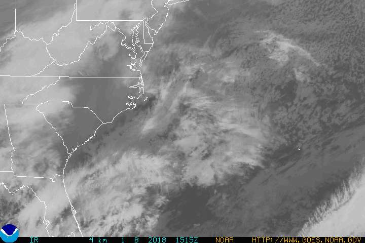
We know the story by now. A storm off the southeastern coast is going to be working back toward the west over the next few days and will impact the weather here in Kentucky. How much of an impact it has on your backyard all depends on where you are. So… I have put together a little rain map for Friday into Saturday. Here is a look…
As has been expected… the best chance for showers will be for those in southeastern Kentucky with a very sharp cutoff in shower chances as we get into central Kentucky. This is certainly not a “dry spell” buster by any means since we will only be dealing with a few showers. Still… we’ll take whatever we can get. Some areas in central Kentucky may not see more than a few sprinkles.
Clouds and the few showers will make for a tricky temp forecast… especially in central parts of the state where we see the sharp cutoff to the showers.
Highs Thursday will range from the mid 70s in the east to upper 70s to near 80 in central Ky.
Friday will see eastern Ky have a hard time getting out of the 60s while central Ky can hit the low 70s.
Saturday will be cooler in the east yet again as temps try to climb toward 70. 70-75 across central Ky looks good as of now.
Winds during this whole time will be very gusty! Gusts may hit 30mph in the east especially.
There are still several questions regarding the our storm off the coast. Can it attain some tropical traits? That is certainly a possibility before it comes ashore in the Carolinas Thursday night or Friday. We will then focus our attention on the storm behind it that may become tropical before racing toward New England. Here is the look from the National Hurricane Center…

Looking into next week… a huge trough will dig in across the eastern half of the country. The medium range models are suggesting a gigantic cutoff low setting up over the region from Tuesday through the rest of the week.
This will mean Monday is windy and fairly warm before a front moves in Tuesday with the threat for showers and thunderstorms. Then… a period of unsettled weather is likely. Showers and windy weather will be possible to go along with some very cool temps into early October. IF we can clear the skies out toward the end of next week… temps can get to frost levels!!! 
More on all that in the coming days.
Until next time… take care everyone!
Select Page

Like the map, Chris. 🙂
Of course, this could all turn out to be the summer version of the “dusting” of 1998, also. It looks like a very similar setup if you ask me–at least as far as where the storm is coming from, and where it’s going. If the trough doesn’t come in on time, guess what? BAM! Up to 2 inches of rain for parts of the area. But who knows? I’m just looking at the ten percent probabilities.
I still hold out hope that this storm moves much further west than originally thought.
Thanks Chris. It looks like we may get only a sprinkle or two here in Woodford. But that’s okay. As long as we get something. With the east having moderate drought conditions I know they need it worse, so I’m praying that we all see at least some.
Thanks Chris…I know we do need the rain, but this could be bad news for the festivals going on this weekend. What is the tropical outlook for the remainder of the season?
My money is with posting DRY over central Ky too on your map Chris. Hopefully I am wrong. One good thing from this disgusting dry period….we aren’t having to mow grass; therefore, we are not having to consume gasoline; therefore we are not having to buy gas for our gas cans so the gas companies aren’t getting our money. They don’t deserve it anyway.
Tropical Storm Kyle forms south of Bermuda:
http://www.nhc.noaa.gov/refresh/graphics_at1+shtml/203152.shtml?5day#contents
testing; posts not posting agin
Yep..looks like it’s time for me to give up the ghost. The northerly wind I observed this afternoon was enough to convince me the wind gradient alone is enough to keep the heart of this storm at bay. Now, if the wind switched to an easterly direction, maybe we’d have a better chance, but…it’s not looking real good for rainfall right now.