Good Sunday everyone. As expected… our warm pattern is holding true to form with each and every warm up of the spring as it is heading straight toward the stormy side. The storms that go up over the next several days will each have the chance to go severe with heavy rounds of rain likely. Some things just will not change!
We will get to the infamous storm tracking toys here in a bit. Here are some headlines to get you caught up to speed…
– Showers and thunderstorms will develop on this Sunday and some should go severe. Heavy rains are a good bet too.
– Replay that first line for the Monday through Wednesday period. ![]()
– Rainfall this week is likely to average 1″-2″ for many areas with local amounts of 3″ or 4″ possible. This can lead to more local flash flooding and even a renewed rise on area rivers.
– Temps will run warm through Thursday as readings top out in the 80s outside of thunderstorms.
Did someone say thunderstorms? Let’s get to the tools of thunder tracking…
Today’s Severe Weather Threat
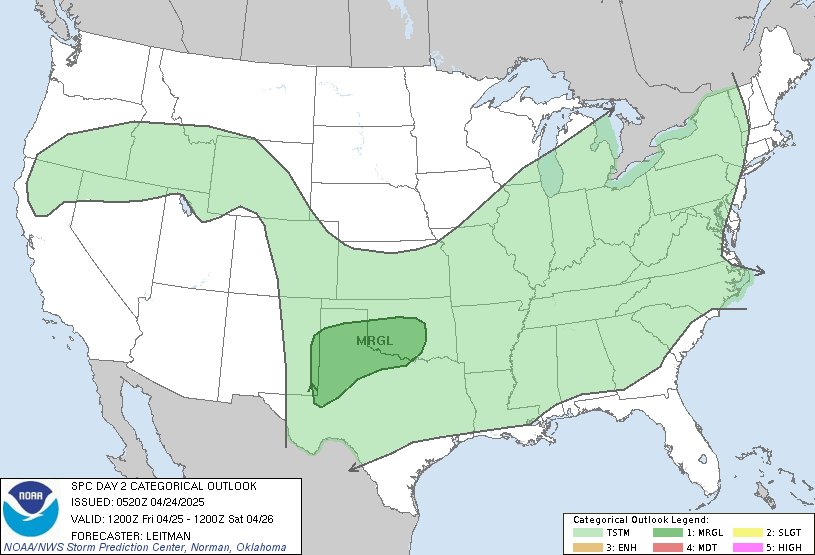
Monday’s Severe Threat
Radars
I will have updates as needed and will send out quick thoughts and warnings through twitter. Follow me at Kentuckyweather or follow along in the twitter feed on the right side of the blog.
Take care.
Select Page
Thank you for the update Chris! I’m loving this warm weather!!
Everyone must be out enjoying the beautiful weather while it lasts. 🙂
Storms look to go up across west central and western KY this afternoon, in wake of the attendant rain field from the ongoing convection across AR/TN. Upwind propagation vector shows this moisture will work into southwestern KY with a renewed chance for reinitiation of storms, as humidity values and CAPE values there are increasing.
STW, eastern half of state, until 9:00. 2 inch hail and 70 mph gusts possible.
nssd nd mnxgc