8pm Update
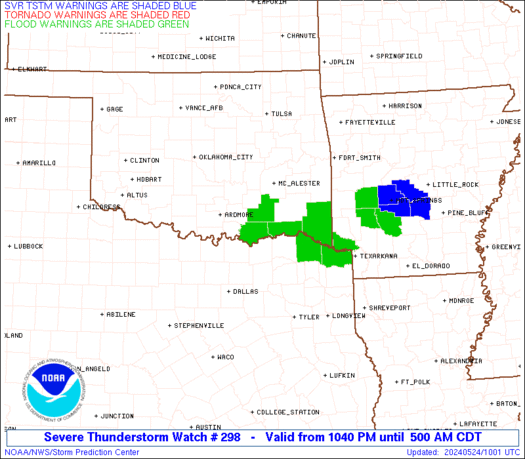
A SEVERE THUNDERSTORM WATCH continues until 1am CDT for parts of western and south central Kentucky. Here is the outline and latest warnings…
Damaging winds and large hail are the main threats. I will have updates as needed. Take care.
Previous Update
A SEVERE THUNDERSTORM WATCH is now out until 7pm CDT for extreme western Kentucky. Damaging winds and large hail are possible in the watch area. Here is a look at the watch outline and the latest warnings…
Other thunderstorms were moving across parts of central and eastern Kentucky. You can track all the action here…
I will have updates via twitter and here on the blog if needed. Have a great Friday evening and take care.
Select Page
thanks for the update Chris. Do we here in east Ky need to keep an eye on creeks and streams this weekend? We already have had flash flooding here in Floyd co. earlier this week, and they are still full. How much of a chance do we have at seeing even more flooding from now thru early next week? Any info would be appreciated thanks
Great weather displays very impressive.
Wxman, we need to see your birth certificate.