Good late Tuesday evening everyone. I am setting this blog up to track the overnight outbreak of severe weather and flooding across parts of the state. I will be adding to this as needed into the overnight hours
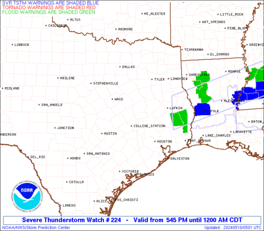
A TORNADO WATCH is now out until 6am for parts of central and western Kentucky. This should be the first of many watches to come throughout the day. Here is a look at the watch outline and the current warnings…
Radars to track the storms…
A Dangerous situation is taking shape in terms of flooding across central and western Kentucky overnight as these storms can dump 1″-3″ of rain with locally higher amounts. Major flooding is likely in many areas so PLEASE watch water levels closely and be prepared to move to higher ground.
Rainfall Since Midnight
A major outbreak of severe storms will be likely later today across the entire state of Kentucky. Damaging winds, large hail and tornadoes will be possible with this widespread event. Here is the latest outlook from the Storm Prediction Center…
I will have updates as needed and will send out quick thoughts and warnings through twitter. Follow me at Kentuckyweather or follow along in the twitter feed on the right side of the blog.
Take care.
Select Page
Paducah radar…wow.
Looks like the moderate risk area has changed again with eastern ky no longer in that risk by that last map. Am I reading that right?
Many thanks Chris, for all you do to keep us informed. Very, very much appreciated!
Nope. The Day 2 outlook will be updated at 2 AM and become the Day 1 outlook. For right now, we’re still in the MODERATE risk and the NWS in Jackson had this to say in their latest discussion:
THOUGH…WITH A
VEERING WIND PROFILE IN PLACE…ANY DISCRETE CELLS THAT DEVELOP
DURING THE DAY AND INTO THE EVENING WILL ALSO HAVE THE POTENTIAL TO
CONTAIN STRONGLY ROTATING UPDRAFTS REPRESENTING A SIGNIFICANT…
CERTAINLY FOR EAST KENTUCKY…THREAT FOR TORNADOES.
Yazoo, MS is about to get another big tornado…
Something tells me that Central and East Ky’s Severe Storm threat is going to get quite the hacking done to it by the massive amount of rain coming this way. Unless its able to make its way thru here before day break and we start seeing some sunshine.
While going through this post I felt that you have done a lot of research on the topic, I appreciate your efforts and glad that I found your blog. Keep posting such informative content.
Lots of beneficial in a row. I give rise to bookmarked your place.
My site is [url=http://www.homeremediesforacnetreatments.com]best acne treatment[/url]