Good Tuesday everyone. What a start to spring we are seeing across the state with temps near 80 and some areas picking up on some severe storms. Did someone say severe weather? There is the potential for an outbreak of severe storms for much of this region Wednesday ahead of a big time pattern change.
In the short term… it’s going to be another warm day across the region as highs head back into the 70s. 80 degree temps will be likely across the west and south and you can track the readings here…
Current Temps
A couple of isolated thunderstorms will be possible across the north and northeast as this region will be closer to a frontal boundary. You can watch this action develop here…
All weather eyes are turning toward Wednesday and the potential for severe thunderstorms across much of the Ohio Valley. Low pressure will be working across the region late Wednesday and will drag a cold front through here by evening. This front will have a lot of warm and unstable air ahead of it and the setup is one that can produce some nasty storms with high winds and hail being the main threats.
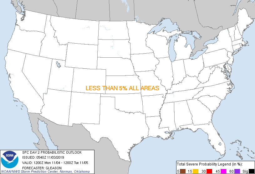
Here is the latest from the Storm Prediction Center for Wednesday…
The blog will update the severe threat as needed and will be here with the latest watches and warnings to go along with our storm tracking.
This potential severe weather outbreak will usher in one heck of a cold pattern for the eastern half of the country that is likely to control the weather into early April. Much colder air will move in for Thursday as highs settle back down into the 40s for many areas. Gusty winds and a chilly rain shower (mountain flakes?) will join the party.
Another storm system will come rolling our way for the weekend. This low is likely to head eastward across the northern Tennessee Valley bringing some cold rains to our region. This should also have a renewed push of cold air behind it and you can see this nasty setup on the European Model…
A wet snowflake or two may try to mix in on the backside of the departing low pressure. The pattern may try to crank up another storm early next week that may take a more interesting track farther south.
Make no mistake about it… this is a cold pattern taking shape over the next few weeks. Look at the temp departure from normal on the GFS Ensembles…
That is absurd to see this time of year and this type of cold can lead to some nasty things before true spring arrives on the scene. If you are a regular reader of the blog… we have been saying for a long time that the cold in Canada had to come south sooner or later. The good news about the next few weeks is it should really wipe out the Canadian cold and allow for spring to really crank up around here.
As a matter of fact… don’t be surprised if April doesn’t turn out to be pretty warm for the middle and end of the month. All of this bodes well for an active severe weather season around here.
I will have updates as needed so check back. Have a great Tuesday and take care.
Select Page

Hey WXman, Mitch, you guys ready for this??!!!
http://spc.noaa.gov/products/outlook/day2probotlk_0600_any.gif
Thanks for the update, Chris. Not looking forward to a big severe weather outbreak, but this seems to be what the SPC is concerned with. What do you see as the biggest threat? Hail, or damaging winds? Just curious, as I heard another forecaster say that he thought it would be hail, but some winds could come into play.
Wxman, Mitch, lark, what are your guys thoughts on this as well?
Yes. And I love it.
Though, I think southeastern OH and most of WV is going to be the prime spot for action. This system is an odd one and the action will stay closer to the parent low I think.
Although, the 12Z NAM shows a strong upper flow across southern KY, with some nice 500mb vorticity setting up down there too.. It’s an interesting system to say the least. To me, this system is really hard to pinpoint…I don’t think it’s one where you feel really confident that you know what to expect or where the lines will set up.
Been looking forward to this the last few days.
There is very little shear forecast by SREF. I think the tornado threat is low. The main threat will probably be straight line wind damage. Hail would be a secondary threat. My $0.02
I sure hope that SLOPPY SNOW THREAT that the gfs is playing with next tue/wed…and then again the following tue/wed…is just a CRUEL EARLY APRIL FOOLS JOKE!!
Looking forward to some storms, just don’t need more rain, we picked up over .5″ yesterday with some mild storms. Rivers have been hanging close to flood stage for weeks! anyone have an idea on rainfall totals for this system? to the untrained eye it appears a couple inches could be a possibility. Is that an accurate guess?
Well, if you get isolated cells at the beginning, and the SPC highlights this, you have a better chance of seeing tornadoes if you get classic supercellular development,although, the highest chance of this happening is over central KY. Eastern KY will likely see straight line winds.
I would like to see how storms develop out west where large hail and isolated tornadoes are expected.
I’m still expecting low instability values across parts of the area during the morning hours. Depending on the timing and sufficient instability, areas including and east of Lexington stand to see the best chance for severe weather. However, I’m still awaiting further data and storm tendency to our west.
You know you can press (ALT 411) for the “cent” sign.
¢¢
Always wonder how to get cent sign!!
but alt 411? I just get beeps, what am I doing wrong?
I have to agree hard to pinpoint where the line will form though high confidence this line will produce damaging winds where it does form.
I couldn’t get it to work either.