Good Saturday afternoon everyone. There is an increasing threat for a significant severe weather outbreak from the lower plains into the Ohio Valley late Sunday into Monday. The ingredients are coming together to produce a possible widespread damaging wind event for parts of the state.
This would also include the threat for tornadoes… especially across western Kentucky. It is the western part of the state that is now under a MODERATE RISK for severe storms from Sunday afternoon into Sunday night. A slight risk is out as far east as central Kentucky.
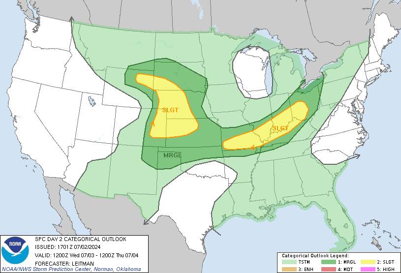
Here is the latest risk from the Storm Prediction Center…
The severe weather probabilities map is scary looking out west…
The line of severe storms would then roll eastward across the rest of the state into Monday. For that reason… the SPC has a slight risk out…
Heavy rains will also be likely and this could lead to more high water issues. I will have more updates through the weekend so check back. Have a great Saturday and take care.
Select Page
Thanks Chris!! I guess that means hang on to our hats…and umbrellas!!??
I have my weather radio ready to go!!! stay safe everyone 🙂
Hi chelle! Mines ready too! You good?
What time are we expecting these storms?
Chris or whomever, thinking of going fishing tomorrow here in Southern Kentucky, when are rains and storms supposed to arrive down this way?
Doin good patti, how are you? Im just counting down the days until spring, and all the food/ grillin talk on the blog (if its not against some peoples rules lol)
NAM is continuing to be a little slower, bringing this in during the day Monday. GFS continues to show a frontal passage around 7:00AM. Obviously this would be terrible time of day for diurnal instability. Should be interesting to track as we head into Sunday…
I know! I miss the old days we talked about what we were havin’ for dinner! Some of those conversations were while we waited on Chris to update. Mostly when we were all hoping for the “Big One”! I don’t care if others don’t like the talk! As long as Chris is cool with it who cares!!!
I now have an update with my thoughts over on my blog for those who are interested.
Nice write-up from the NWS in Little Rock AR about severe chances and Helicity potential
http://www.srh.noaa.gov/graphicast.php?site=lzk&gc=2
Hi, The topic that you have discussed in the post is really amazing, I think now I have a strong hold over the topic after going through the post. I will surely come back for more information.
Hi, I found your post really helpful. It helped me all the way in completing my assignment, I am also giving a referance link of your blog in my case study. Thanks for posting such informative content. Keep posting.
Hi, I appreciate the information that you have provided in the post. It is worth noting and I really liked the presentation as well. I will surely come back for more of interesting posts.