Good Tuesday, folks. It’s another day of steam and storms as our booming pattern rolls on. As we roll through the rest of the week, we pretty much keep things as is. By the weekend, changes show up as a dip in the jet stream takes place behind a potential tropical system off the east coast.
As usual, let us begin with the precious present. Highs today range from the middle 80s to low 90s with very high humidity levels. This will fuel more storms to go up and we should see a little better coverage than the past few days. Strong to severe storms are possible on a local scale today. These storms will also have a ton of rain with them that can cause flash flooding.
This is cloudburst season in Kentucky, so be on guard. Here are your storm tracking tools for the day…


This same pattern will be with us for Wednesday into Thursday, so we will be on guard for additional storm issues.
At the same time, we are watching the southeast coast for the possibility of a tropical system taking shape. This could develop and ride up the east coast…

As this storm rides up the east coast into the weekend, a couple of systems move in here behind the departing storm. The first is a strong cold front that could touch off some big storms on Friday, then another system comes in over the weekend…

That is part of a deepening trough that may cut off from the main flow into early next week…
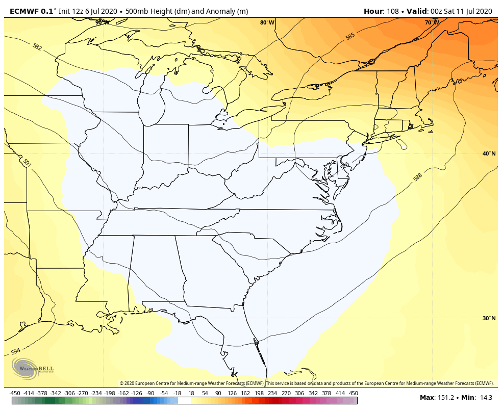
Obviously, this will knock the temps way down. Ain’t life grand? 🙂
Make it a terrific Tuesday and take care.

The blue will be perfect timing for the weekend.
Around 11:30 last evening we had a “clap” of thunder that knocked me out of bed. The lightning had to be close, so I got up to check appliances. Nothing was damage, but I unplug the computer and Direct TV and the phone (land line) just in case. This area of Kentucky seems to get a lot of cloud to ground lightning for some unknown reason and almost always causes some damage to very expensive appliances which I can not bear, and my home is grounded to the hilt. Go figure.
Same here yesterday. I heard distant thunder but there was one big bang close to me. When it happened, the power went off/on. Everything seemed OK though. Not sure why, but the appliance clocks all did NOT need to be reset, yet my old clock radio did. The internet rebooted….the AC stopped and waited 5 min’s to come on. I’m thinking that’s protection……like once it turns off, it needs to have a certain time of being off before it can come back on to prevent damage.
One thing I hate about living in this house is there’s no shade…there are trees but they are not big enough to provide shade..My tree that blew over from a storm a couple years ago helped some….but now that’s gone……I’m sure the attic (on full sun days) reaches a-stronomical temperatures (even with attic vents)… and that heat will radiate fighting with the AC.
MarkLex, I lost all of my shade trees as the result of the 2009 ice storm, which was the worse weather event in all of my 69 years on this Earth and I never replace them. Now, I have three different “climate temperatures” indoors the loft is hot about 80 degrees and the living area reads at 75 degrees and the basement bedroom reads around 65 degrees. All in all it’s not expensive living here in the hills of central Kentucky.
Thanks Chris, I hope the “cut off low” develops because the heat here lately is taking it’s toll on me. Right now I would like to have Autumn weather or at lease a break from the high dew points and humidity. lol
You don’t have to be in the rain or fall into a lake to get wet. Just go outside and walk a mile or so in this awful heat and humidity and when you come indoors you will be soaking wet ! LOL…….
I feel like I’m living back in FL with this heat and humidity. I moved here to get away from that. I hope it comes to an end soon!