Good Wednesday, everyone. As the steamy temps settle back in, we have our first wave of thunderstorm action trying to help us out tonight and Thursday. That’s when a weak cold front drops in with the potential for strong storms. This steam verses storm battle is sure to be a good one over the next week and change.
Let’s begin with today and roll forward. Highs are in the upper 80s to low 90s for many. A few “hot spots” may show up. It will feel hotter as the humidity comes up.
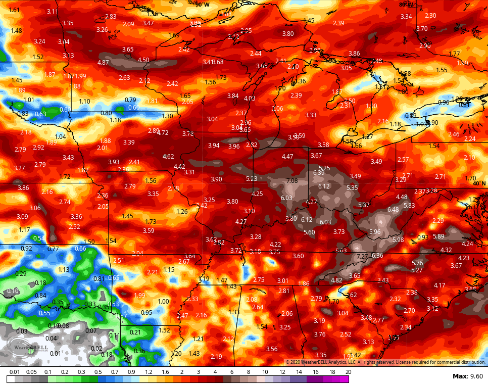
As those levels rise and our front approaches from the west, a few thunderstorms may rumble into the western part of the state late today into this evening. This is the area closes to today’s severe weather threat from the Storm Prediction Center…

As our front moves east for Thursday, the threat for a few strong or severe storms will follow along. The Storm Prediction Center has much of the state in a low-end risk for severe storms…

That front may slow down on top of us for Friday and Saturday, keeping showers and storms around. The GFS continues to take the stormy route through next week…

It actually keeps that going into the following week as well…
Obviously, the more storms we can get, the lower those toasty temps will be.
I leave you with your radars to track the storms rolling toward us from the west…

Have a wonderful Wednesday and take care.

Thanks Chris, According to my local weather forecast for today it is going to be a “carbon copy” of what we had yesterday: HOT with a blazing Hot Sun, and a high temperature in the low 90’s. I went ahead and watered the few plants I have in my backyard just in case the rain showers decide not to make their appearance.
On my morning walk it was very pleasant with a temperature of 61 degrees, but you can feel the dewpoint increasing. Compared to last year it has been a much warmer July here in central Kentucky.