Good Wednesday, everyone. We continue to see much below normal temps for our part of the world as August keeps it’s cool. This September weather pattern has a few more days left in the tank before we get into a more typical August setup.
Let’s begin with the precious present and roll forward. Temps to start the day are into the amazing 50s! Highs are on the awesome side of the thermometer with many areas in staying in the 70s…
 A few of the hot spots will hit 80, but there’s no humidity to worry about.
Temps on Thursday should reach the high 70s to low 80s for most of the region, but we should see a few more clouds showing up. A few showers and storms may also show up across the east and southeast with some isolated stuff continuing into Friday.
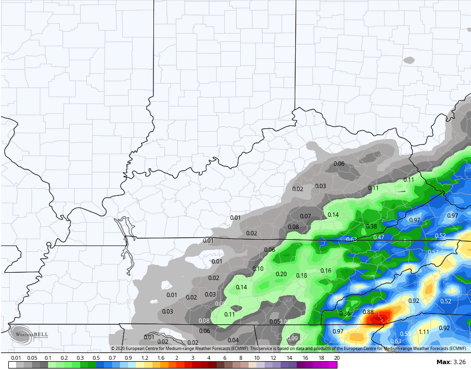
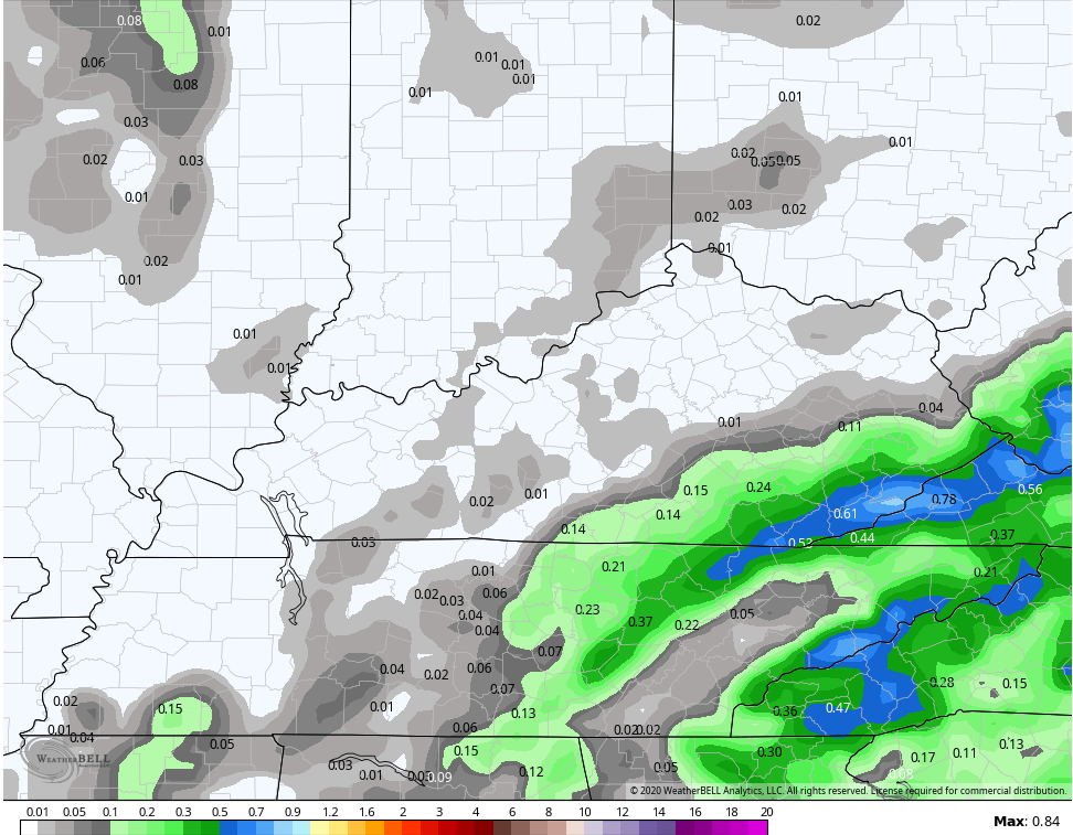
Locally heavy downpours will show up and you can see that in rainfall totals Thursday and Friday…
EURO
 GFS
GFS
Temps will rebound into normal levels this weekend with just a slight chance for a shower or thunderstorm.
The threat for showers and storms increase into next week as some action works in from the northwest…
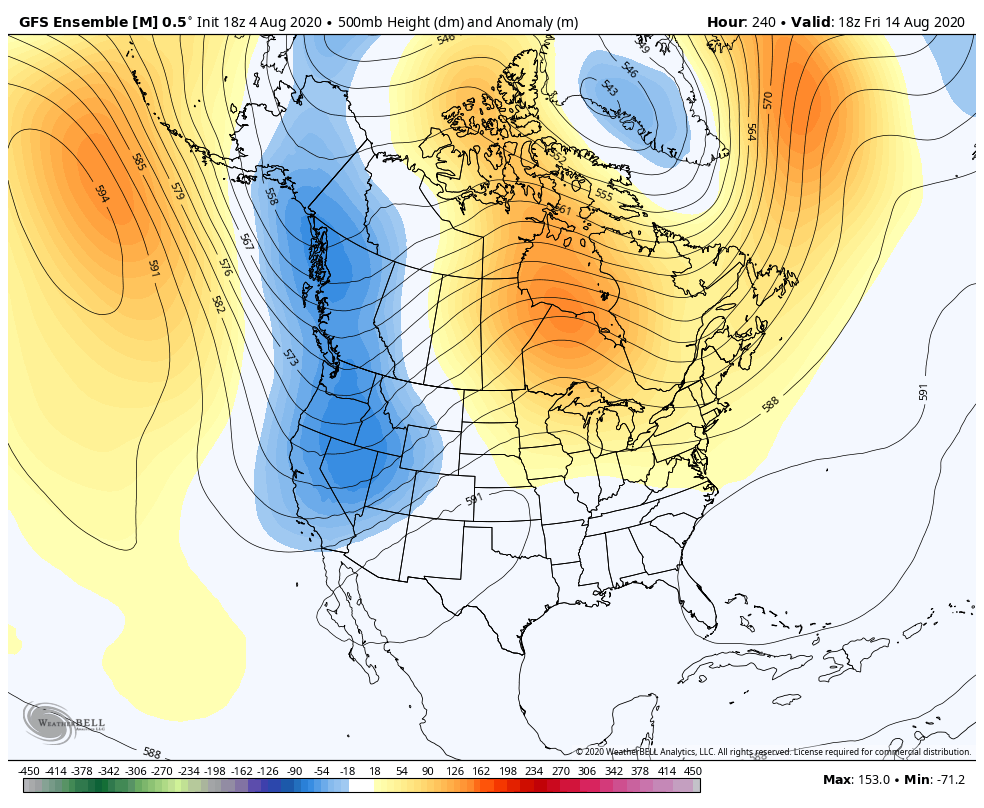
The pattern next week will feature temps around normal or even a little above. The core of the above normal air goes to our north, with more of a trough eventually developing across the southern part of the country…
 That will likely open the tropics up for another burst of activity!
Have a great day and take care.

Thanks Chris, really comfortable temperatures here this morning. A low of 58 degrees in my backyard.
Clouds are beginning to move back into our region which will keep the afternoon temperatures down a bit.
With the heavy fog and dew this morning I doubt if the lawn will dry enough to mow, but I will attempt to do the chore later this evening. If not I’ll try again tomorrow. LOL
Well we all knew the great temps. couldn’t last forever.
Looking forward to more Fall temps as the seasons slowly change.
The weeping cherry tree has been losing yellow leaves For about 2 weeks now.
Thank you for all you do CB!
Great website!
I hope you all have a wonderful Wednesday