Good Thursday, everyone. We continue to hang on to absolutely awesome temps for this time of year, but we now have a few storms joining in the mix. The best chance for this action is across the east and southeast through Friday. Once into the weekend, our September run ends as more typical August numbers start to show up for the first time this month.
Let us begin with today’s dose of awesomeness. Some areas start out in the 50s once again with a touch of fog around. Highs range from the upper 70s to low 80s for most of the region with fairly low humidity continuing.
There’s a little more moisture with us and this may fire up a scattered shower or storm. The best chance is across the southeast, but some of this will try to creep as far west as central parts of the state. Here are your tracking tools for the day…


A similar setup will be noted for Friday as temps inch up a bit. Highs over the weekend are deep into the 80s with a little more humidity back in here and that could fire up an isolated shower or storm, but most stay dry.
The numbers continue into the normal category next week as the threat for showers and storms begins to increase. That said, there’s a growing signal for a bit of a cutoff system trying to hang around here for the middle and end of next week…
This whole scenario would lead to an increase in showers and storms…
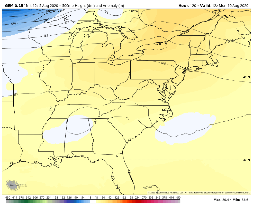
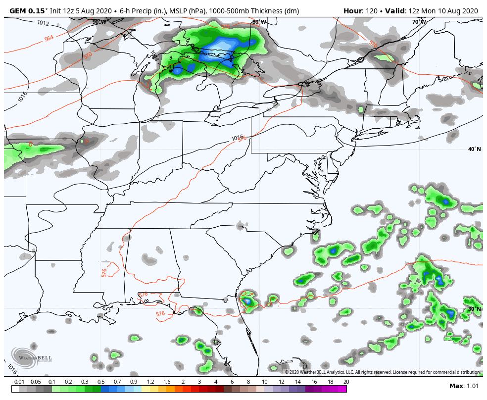
CANADIAN
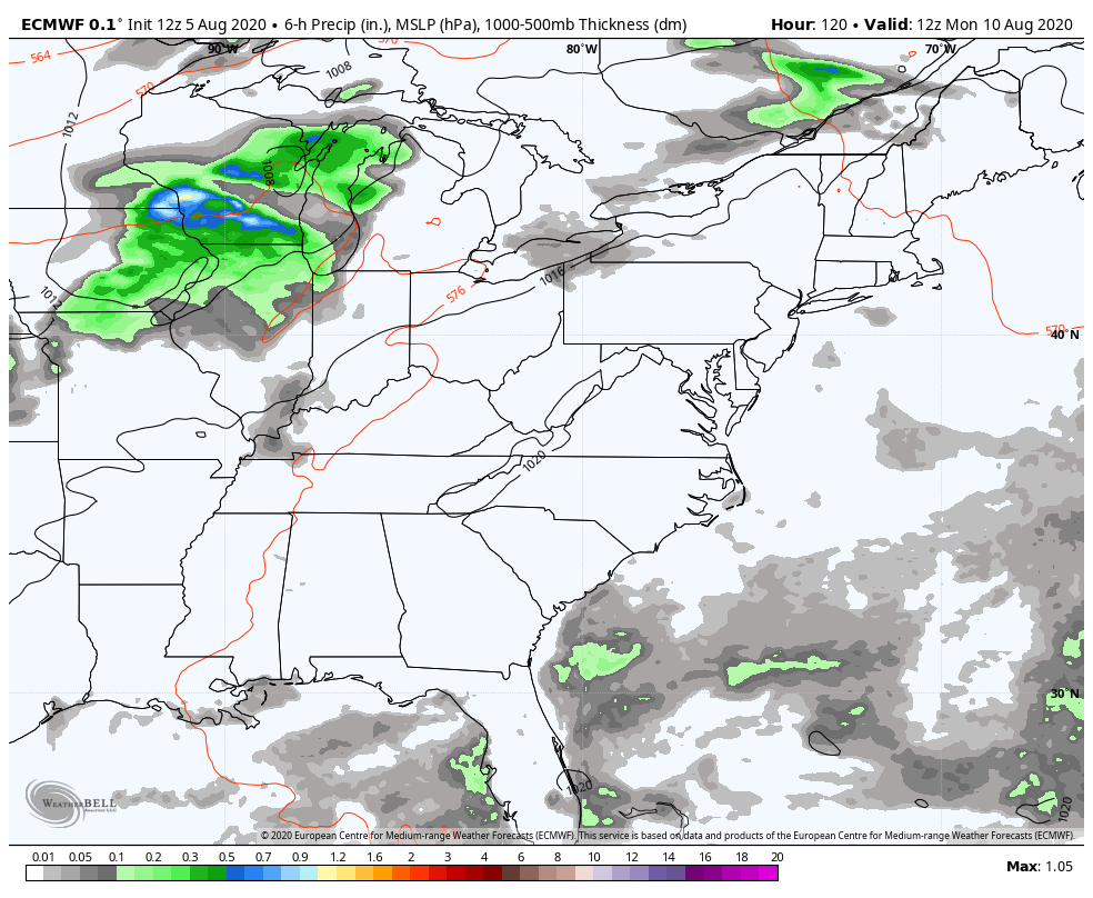
EURO
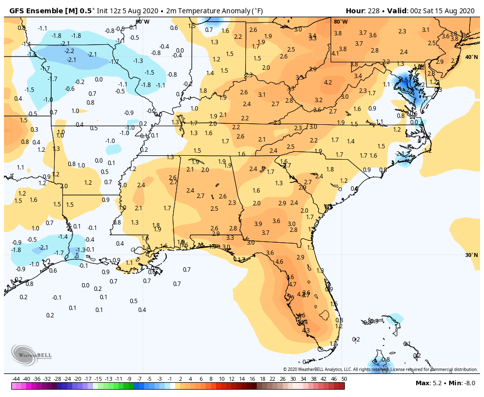
The GFS Ensembles have been hinting at this for the past several days and continue to show a ridge going by well to our north with a trough through the south…
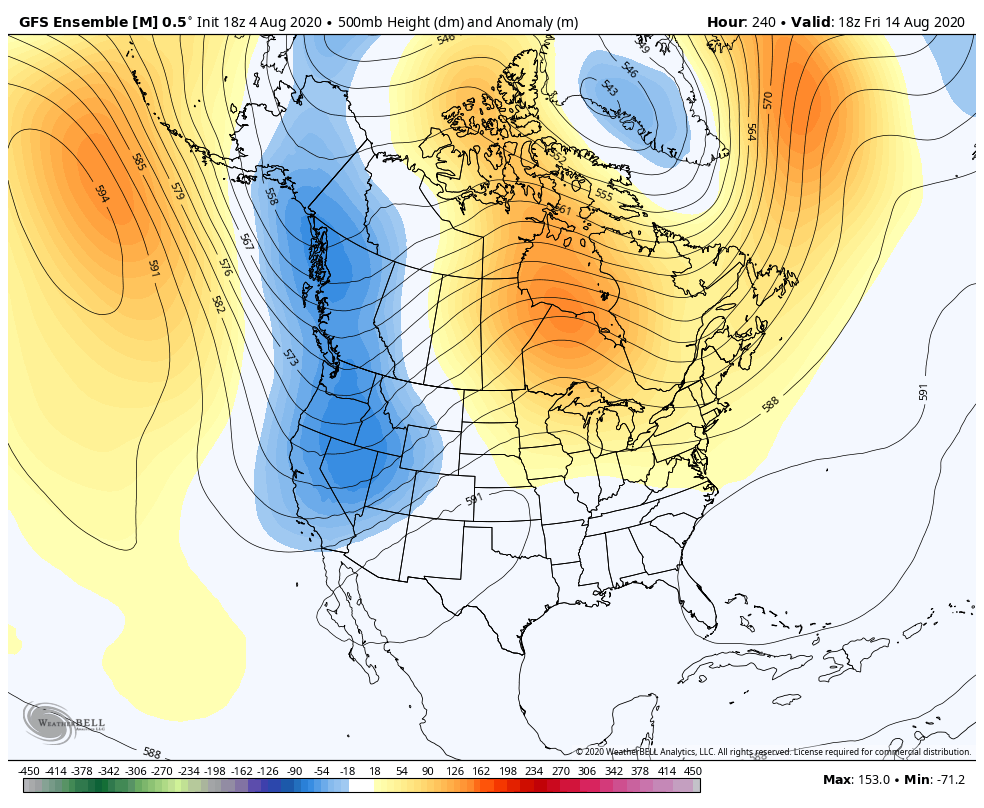
That same model does keep temps in good shape around here as we roll into the second half of the month…
I may throw you another update later today, so check back. Make it a good one and take care.

Considering it is August the forecast looks great.
Agreed, good bit of Sunshine yesterday with tolerable temperatures and I was able to catch up and finish my yard work late yesterday afternoon.
Looking and studying other long range weather models it looks like the eastern haft of the country may be in more troughs through the next several months which may take us into Fall and Winter ? I’ll take this with a grain of salt, but it is something to watch “Winter Lovers.”
Another potential signal is the “heat wave” going on in Siberia, which seems to be holding for sometime. Could be another signal for a colder Fall and winter here, because the cold air has to be somewhere in the World. Just my speculations though, as a “arm chair meteorologist.” lol
Thanks for all you do for us weather “weenies”..Chris, what is your thought on the possibility and degree of wet weather for next Saturday, Aug15 in the central Ky area?? Thanks again..