Good afternoon, everyone. Clouds are slowly thickening this afternoon as scattered showers and storms develop well ahead of our fall storm system rolling in here late tonight and Monday. This is going to bring a a little fun to the forecast as we track the potential for strong storms, heavy rain, gusty winds and a major temp drop.
Let’s begin with the threat for scattered storms later today into this evening. We will see one batch scooting in out of Tennessee and into areas of southern and eastern Kentucky. Another rounds tries to sweep into the west…

As the front moves through here on Monday, sunshine will show up well in advance of it across central and eastern Kentucky. This allows for enough destabilization for some strong storms to go up and the Storm Prediction Center now has this area in a low-end risk for severe storms…

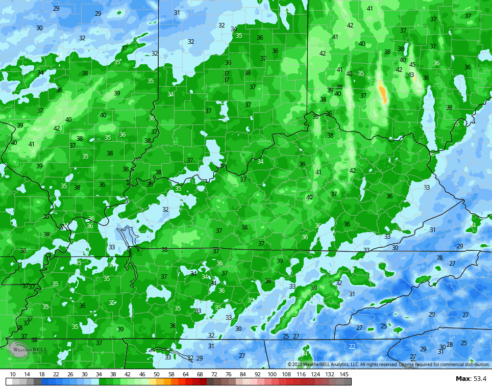
Damaging wind will be the primary player with this line of showers and storms. Even without true severe storms, winds will be very gusty and may reach 40mph at times along the front. The NAM wind gust forecast for Monday shows this well…
I mentioned the temps ahead of this front and how they warm. Some areas will flirt with 80 at the same time areas behind the front are dropping into the 50s. This front means business as it passes over your house…

Some may see a 25-30 degree drop in just an hour or two.
Leftover showers will carry us into Tuesday across eastern Kentucky with low clouds being tough to break into the rest of the region. This means Tuesday’s highs likely stay in the 50s east and only 60-65 for the rest of the state…

From there, we watch another front drop in from the northwest as we open October on Thursday. That has even colder air behind it and we may even see some Friday showers coming all the way from Lake Michigan…

Highs Friday and Saturday will likely stay in the 50s with lows that can reach the frosty 30s.
Another system is going to dig into the Ohio Valley by Sunday and Monday and that could bring additional chilly showers…

That can actually get darn chilly in terms of high temps.
Enjoy the rest of your day and take care.

wow….just wow. getting right down chilly way too fast for me, as I struggle to hold on to summer time warmth. I might as well get myself prepared for what many old-timers around my neck of the woods are calling a brutal upcoming winter. time to break out the hoodies and sweatpants. I think i have some gloves laying around here somewhere…..
I feel your pain, even if us warm weather people seem far outnumbered on this blog by winter lovers! I’m even married to a snow lover which can require compromises for things like what temperature to set the thermostat. My wife would agree with MarkLex’s post!
But both my wife and I enjoy the beautiful fall colors, as relatively brief as they are (we settled on a fall wedding).
This morning, I noticed a new post was on twitter……but on this site, the afternoon post was showing as the “latest post”.
I’m so glad fall temps are here.