Good Saturday to one and all. It’s another chilly day across the region with temps averaging well below normal. This has been the norm since early September and the overall pattern continues to be skewed on the cool side of normal through much of the next week. We are also watching a quick-hitting band of showers working in here for Sunday and Sunday night.
Our day starts with readings deep into the 30s for several areas and that’s likely making it another morning with some frost. As the day wears on, temps recover nicely for a perfect fall day. Highs range from the upper 50s to middle 60s, depending on where you are.
Clouds will increase from the west and those clouds are ahead of our Sunday shower maker. This isn’t an all day rain, but a few waves of showers will likely disrupt some outdoor activities, especially in the afternoon and evening. Not everyone sees a lot of rain out of this system…

Temps on Sunday will be all over the place because of the slower arriving showers. Mid 50s to mid 60s show up once again.
The numbers behind this departing system are sneaky cold and could bring a couple of frosty mornings in here Monday and Tuesday. The NAM shows the Monday morning cold wrapping in on the backside of the departing low…
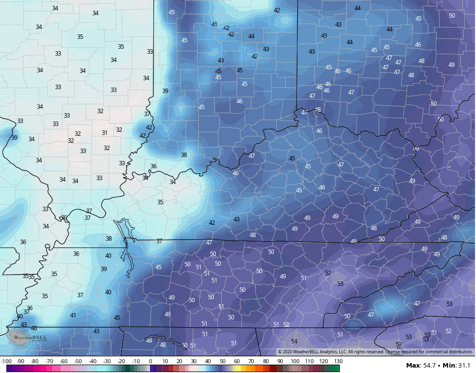
The Canadian is a little quicker in getting the cold in…
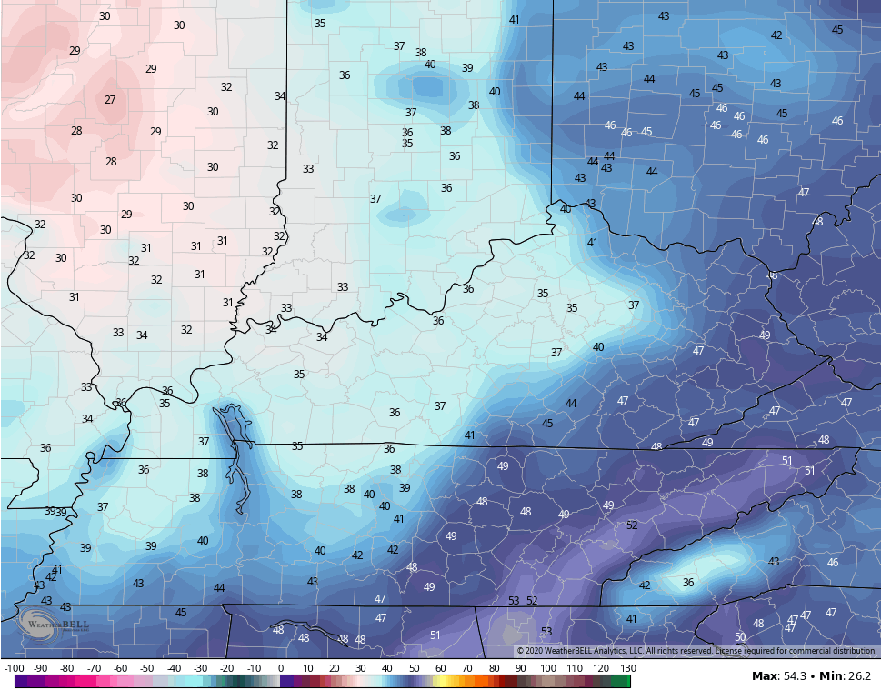
The NAM by Tuesday morning is actually frigid for this time of year and is likely a bit overdone…

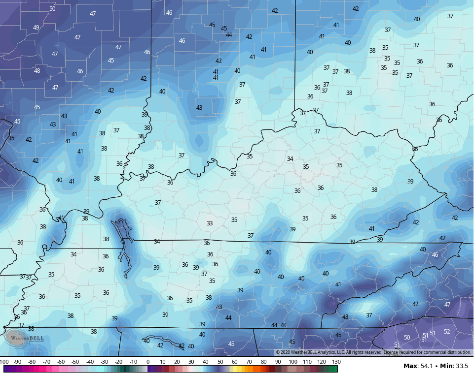
Mid and upper 20s is a stretch, but lows deep into the 30s will once again be possible and that’s exactly what the Canadian shows…
Unlike the current setup, maybe this cold shot can get some respect from other weather outlets? Nah… Keep doing what you’re doing because it’s good for my business. 🙂
Temps rebound quickly by Wednesday and may reach the 70s as winds gust up from the southwest. This is ahead of a deep trough crashing through the lakes and into the northeastern part of the country. We don’t get the full brunt of this, but it will knock the numbers back down for the end of next week.
At the same time, we may very well have a tropical system to deal with in the Gulf of Mexico. Right now, we have two systems to keep an eye on with Tropical Storm Gamma being the next in line…

The second system coming in behind it may wind up as a better candidate to possibly threaten the Gulf Coast…

I will have another update later today. Have a great Saturday and take care.

Nice forecast. Great football weather.