Good afternoon, gang. The focus of the forecast continues to be on Hurricane Delta down in the Gulf of Mexico. This storm continues to be on pace for a Friday landfall along the Louisiana Gulf Coast before turning toward the northeast. What’s left of this system arrives in Kentucky over the weekend, bringing the threat for heavy rain. Who gets the most will be determined by the overall track of the storm.
Delta is in the process of becoming a monster once again…

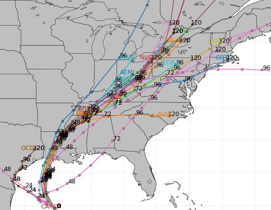
This is on the way to becoming a major hurricane and I think this can make landfall as a major. Here’s the latest from the National Hurricane Center…

You can see how the NHC is now able to say this will no longer be tropical as it arrives in Kentucky, not that it was really expected to be. Still, this tropical low moves right on top of the region and this shows up well on the Hurricane Models…
This brings the threat for heavy rain to much of our region, especially Saturday night and Sunday. The WPC is highlighting this potential, but this map only encompasses Saturday and Saturday night…

That said, we are seeing a little bit of disagreement in the operational models on where the heaviest rains set up. Models like the NAM and Canadian are farther north and west…
NAM

CANADIAN

The GFS and EURO have decided to track just a bit farther south, keeping the heaviest rains across southern and eastern parts of the state…
GFS

EURO

This is going to make putting together a rainfall forecast map pretty difficult because it is all about the exact track of the storm. I will be throwing one out there and updating it through the evening on WKYT-TV.
Another system rolls in here on Tuesday with a gusty band of showers and storms and seasonal chill behind it.
I’ve been talking about how this is a pattern threatening to get really cold later in October and early November. The seeds are being sewn for this potential. The GFS and various Ensembles have been hinting at some early season flakes.
The new EURO is THISCLOSE to spitting out flakes next weekend…

Just look at the amount of blocking going up across the top, forcing deep troughs into the eastern part of the country…

That’s a very interesting look, my friends.
Enjoy the rest of the day and take care.
