Good Sunday, everyone. What’s left of Delta is rolling across the region today and it’s bringing heavy rain to parts of the state. The greatest concentration continues to be in the south and east. Once this moves away, it’s a week of watching strong fall cold front sweeping in here. As a matter of fact, the overall setup is looking more and more like something out of winter.
Let’s get this party started by talking about the tropical rains out there today. The sharp cutoff is showing up very nicely with the north and west seeing very little in terms of rain. Areas of the south and southeast are getting the heaviest rainfall with many areas picking up a few inches before all is said and done.
Here are your radars to follow along…

Monday is a windy day with temps spiking into the 70s ahead of another front working in here. This front will bring a line of showers and storms sweeping eastward across the Commonwealth during the evening…

Temps will come crashing down with seasonal chill with us on Tuesday.
The middle of the week continues to look pretty awesome, but the bottom is ready to fall out by the end of the week and into the weekend. We have major blast of cold air on the way during this time and it’s likely to last into next week. This may come in two pieces with the first front arriving Thursday night and another system dropping in from the northwest this weekend.
You can see this on the Canadian…

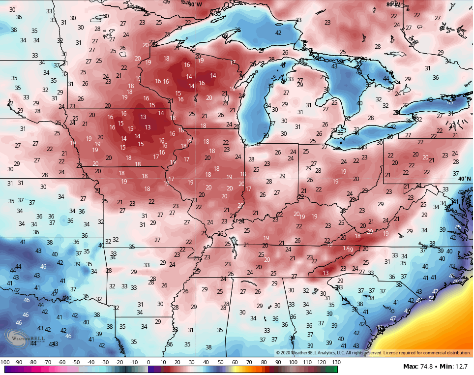
Once again, you can see how the Canadian does try to spit out flakes in this region with the second system over the weekend.
The GFS is slowly catching on to the depth of this trough and is growing colder with each run. We are likely to end the growing season with this blast and we may reach freezing or below as early as Friday morning…
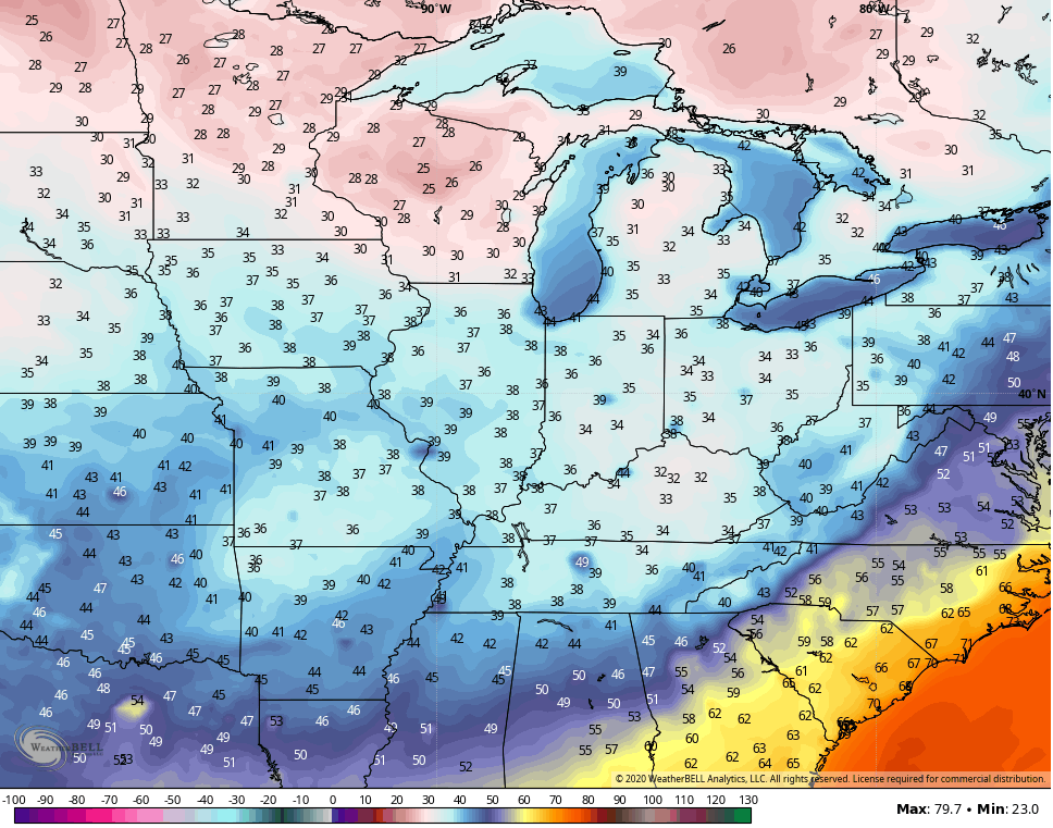
The GFS then shoots for the middle 20s early next week…
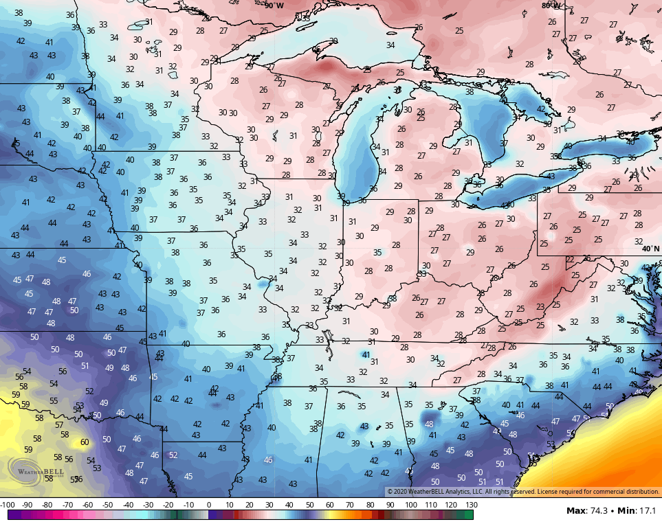
The Canadian takes the cold to a different level…
That’s likely a little on the extreme side, but to see those types of numbers even showing up on a model is way impressive for the middle of October.
This pattern may very well just roll right on through the month of November. The CFS 30 day average from October 24-November 23 continues to show a deep trough across the eastern half of the country…

Winter lovers would love to see that pattern just keep on rolling, obviously. A trough near the Aleutian Islands usually pumps the ridge up the west coast with a trough diving into the east.
The corresponding 30 day average temperature departures from the CFS for the same time…

I will add another update later today, so check back. Make it a great Sunday and take care.
