Good afternoon, everyone. Tropical rains from Delta continue to soak areas of eastern and southeastern Kentucky, but this is finally beginning to pull away. From there, the focus of the forecast will be on a much colder pattern that that will put an end to the growing season over the next week and change. It’s also a pattern that can take our temps toward record low readings. Can it bring something else along for the ride? Meh.
The heavy rain from Delta had one of the sharpest cutoffs that you’re ever going to see. This set up a little farther south and east than I thought several days ago, but we talked about this being a possibility. Several areas in the east or southeast will finish this up with 1″-2″ rains.
This action is slowing down and pulling away Your radars follow it out of town…

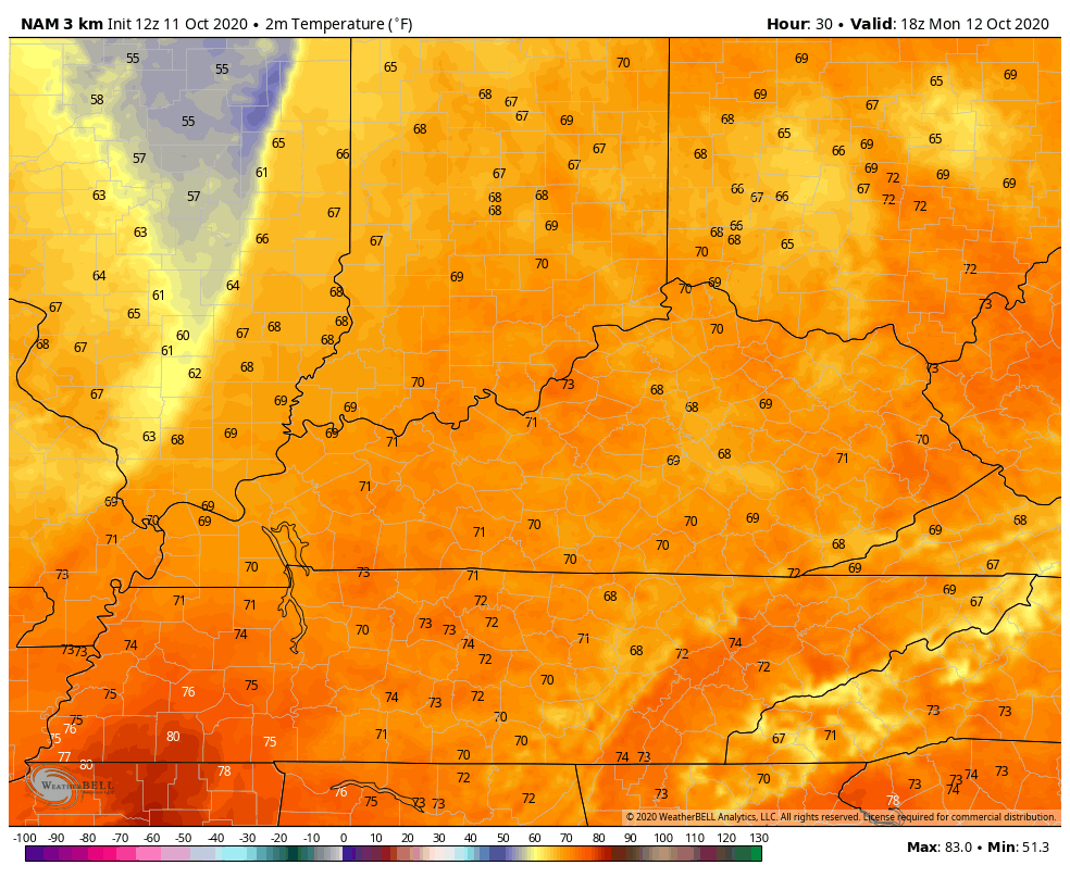
Monday is a day of change as a nice fall front blasts the bluegrass state. This will have a line of showers and storms with it as it sweeps eastward during the late afternoon and evening…

Winds will be gusty ahead of this system and that boosts our Monday temps into the 70s. Once the front blows in, those numbers tank…
Pockets of mid and upper 30s will show up Tuesday morning across north-central Kentucky, especially. The rest of the day and into Wednesday will be super nice.
Things change in a hurry starting late Thursday as a massive trough dives in here from the northwest. This is a powerhouse of a cold front that ushers in a wintertime looking setup from Friday through much of next week.
We are likely to get two systems delivering the cold air. As mentioned, the first arrives late Thursday with the next one at some point this weekend or into Monday. The models vary a bit on this from run to run.
The GFS is now back to showing the potential Ohio Valley flakes…

This is something the Canadian has been showing a while and continues to do so, albeit a little different…

We will see how all this plays out, but some big model bounces are likely because there is so much energy diving into this highly anomalous trough. One thing is for sure, it’s cold and likely ends the growing season with temps that can reach the 20s on more than one occasion. The 7 day average temp departure from the GFS starting this Friday…

Again, that’s a 7 day average departure and that’s absurd for the middle of October.
By the way, the GFS Ensembles continue to indicate the potential for flakes over the next 2 weeks…
We shall see, but 4 of the past 8 Octobers have featured the first flakes of the season. Anyone scoffing at the potential should probably do some weather research on the climatology of this region.
Make it a good rest of your day and take are.
