Good afternoon, everybody. Our first cold front of the week is upon us and will be rolling across the state this evening. It’s bringing a gusty band of showers and isolated storms with it and also knocks the temps down to a season chill tonight and Tuesday. The front coming in here later this week is the one that has much more of a wintertime look to it and kicks off a very cold period for the middle of October.
Let us begin with tracking today’s front. Here are your radars…

Temps behind the front drop into the low and mid 40s for many with a few upper 30s showing up across the west and central. Tuesday looks awesome with temps in the 60s.
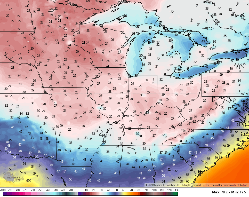
Wednesday spikes into the 70s as we get ready for our next cold front to arrive later Thursday. This is the front that will unleash the coldest air of what has already been a cold start to the young fall season. This will be the first in a series of cold shots showing up through next week. Here are some of the coldest lows showing up on the models during this time…
GFS
CANADIAN

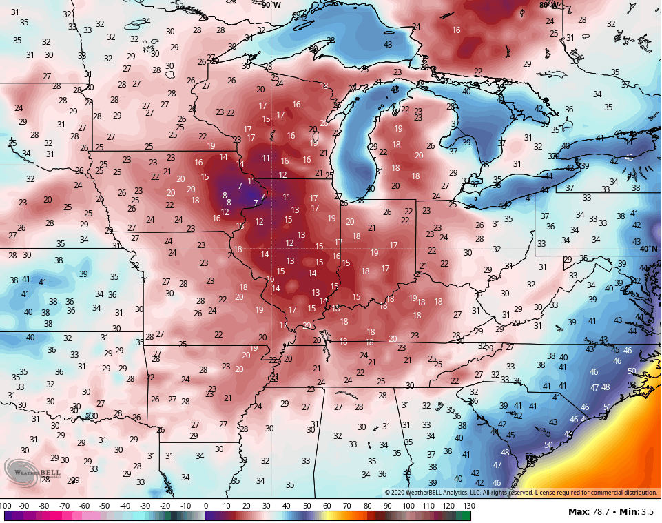
Holy smokes!
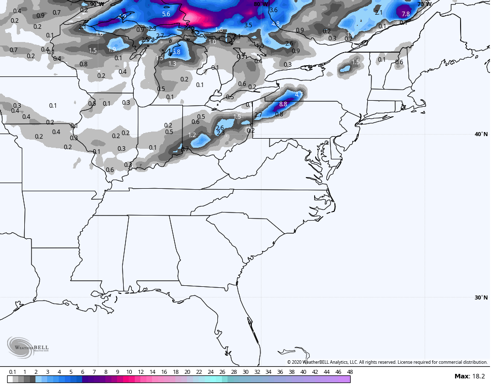
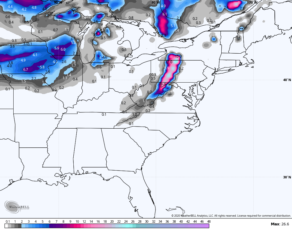
Now, can this pattern spit out some flakes over the next few weeks somewhere across the state? The models certainly think so…
GFS
GFS ENSEMBLES
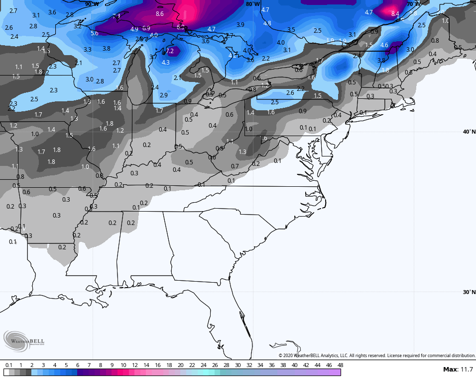
CANADIAN
We shall see about that, but the chance is certainly not zero. Remember, 4 of the past 8 first flakes have happened in October!
After being the first model to sniff this pattern out, I warned you the EURO would likely start to have serious issues. It does and continues to be a very unreliable model this year.
Enjoy the rest of your day and take care.
