Good Monday, folks. We have a cold front working into the state and throwing on the brakes today. This is leading to quite the temp spread and is also kicking off waves of showers and storms. Some of the storms may even be on the gusty side as we kick off another hyper-active pattern. This sets up dueling seasons as winter and the tropics battle it out and even try to join forces.
I have no changes to the overall forecast as the waves of showers and storms will have the greatest concentration across the western and northern parts of the state through Tuesday. A few inches of rain will be noted before all is said and done. Farther east and southeast, there won’t be a whole lot of rain showing up.
The Storm Prediction Center had been showing a low-end severe risk in the west, but have backed off that a bit…

Here are your radars to track the increase in the action…

I will have the rest of your tracking tools in a bit.
Temps turn very mild for the middle of the week as winds gust up from the southwest. This bit of “Indian Summer” will be ahead of a cold front working in here on Friday. That brings showers and storms working into the region once again. This doesn’t have a big push of cold coming behind it, but the front behind it does…

Once I picked up on the increase in tropical action, I said this cold trough would be delayed because of it and once it gets out of the way, it’s game on for a trough back in here. You can clearly see this happening…

The overall pattern has been skewed colder than normal for the past few months, but there is some indication this relaxes a bit in early November. It is interesting to note the latest CFS forecast for the winter ahead goes right back to a similar setup. Here’s the average height anomalies for December-February…

A trough in the Aleutian Islands, a ridge up the west coast and blocking over the top work together to send the trough into the eastern part of the country. That’s not too dissimilar from what we’ve been seeing of late, so maybe the model is seeing a persistent pattern.
Here’s the monthly temp departure (in Celsius) breakdown from that run…
DECEMBER
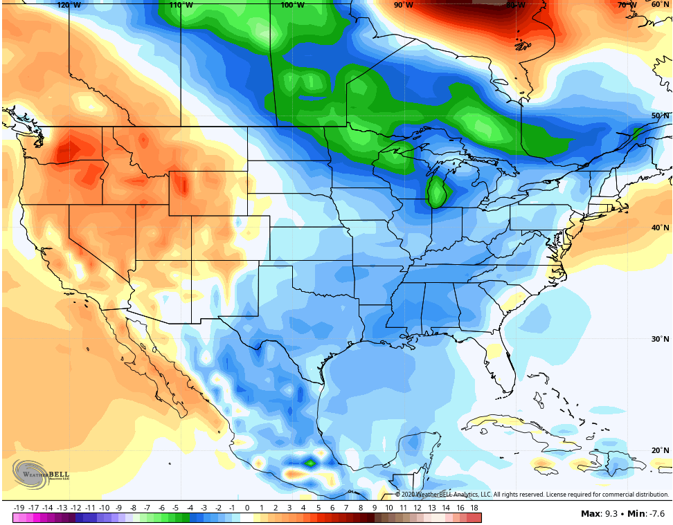
JANURARY

FEBRUARY

We shall see. 🙂
I will have another update later today, so check back. I leave you with the rest of your tracking tools for the day…
Current watches

Possible Watch Areas

Make it a good one and take care.

It’s raining where they really need it. In the last 48 hours we had only 0,01 inches of rain in Taylor county.
Southeast ridge maybe holding up the fronts ?
Indian Summer at the end of the week would be nice if the Fall foliage color is at peak.
When the troughs move back in, I hope we will have a strong enough subtropical jet to provide moisture for at lease a few inches of snow ?