Good evening, everyone. Heavy rainfall absolutely soaked much of the areas we’ve targeted in recent days. Now we turn things much milder before the next front rolls in by the end of the week. That will kick off a fairly wild looking pattern as we get set to close the door on the month of October.
Rainfall was beyond impressive since Sunday as some areas picked up close to 5″ of rain. You can also see the sharp cutoff to the rain on the Kentucky Mesonet totals through 11am today…
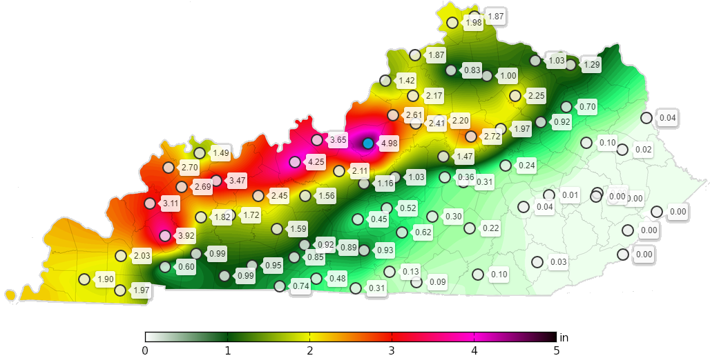
That matched up very well with the map I made last week, though it wound up just a few miles farther south…
Not too shabby.
Leftover showers and storms are slowly winding down and lifting to the north this afternoon…

This is setting up quite the temp gradient with temps struggling into the 60s in the far north and northwest, but well into the 70s in the south and southeast. Those 70s take control state-wide for the next few days.
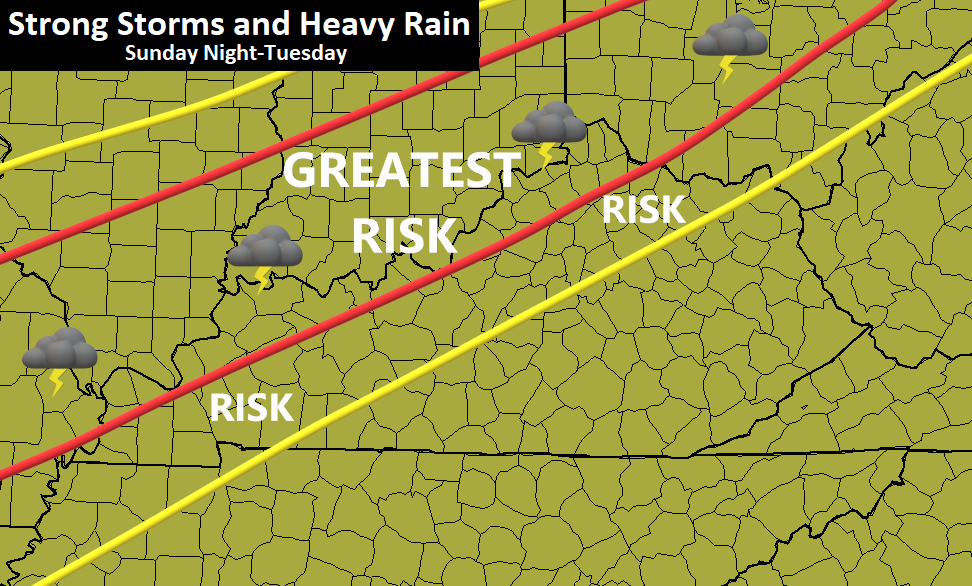
The next system arrives on Friday with some showers and storms that linger into Saturday. That knocks the temps down. Beyond that, rounds of showers and storms may target the reign early next week as we watch a heck of a fight take place across the country. The models continue to struggle with consistency in how to handle all the cold and storm systems ejecting from the southwest.
Here’s the latest GFS…

EURO

Given how much rain just fell into parts of the region, we don’t need that battle zone to set up over top of us. We need the cold to overwhelm the setup and win the battle.
I will update all that later tonight. Enjoy the rest of the day and take care.
