Good Sunday, folks. The month of November is off and running with the coldest air of the season diving in here from the northwest. This air is coming in behind a quick-hitting cold front that’s also bringing gusty winds and a few showers. There’s still a small threat for a flake in the east and I stress the word small.
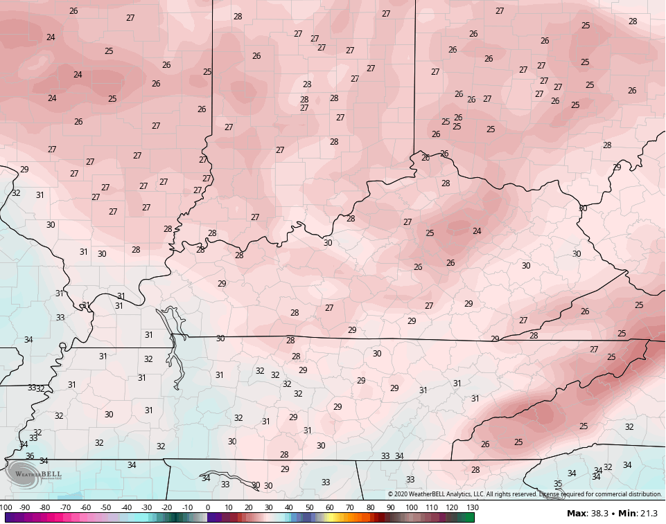
Temps to start the day will be in the 50s then crash from northwest to southeast. Gusty winds may reach 30-35mph at times as a few showers show up. Here are your radars to follow along…

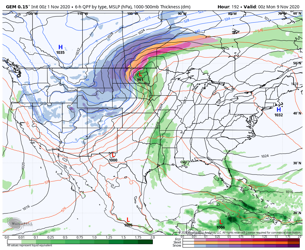
Once again, the flake chance is still there, but it’s a small one. Much of this stays to our east into West Virginia, but a few flakes may try to show up this evening into far southeastern Kentucky.
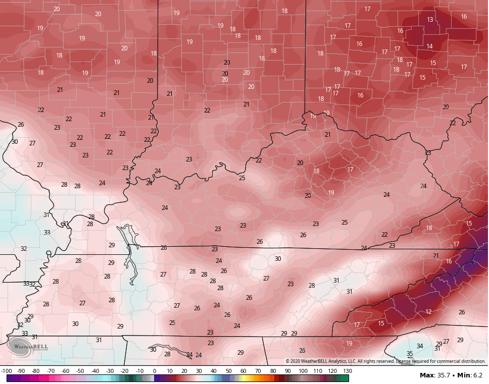
Temps continue to drop this evening as wind chills reach the 20s with actual temps crashing through the 30s. Low and middle 20s will show up on Monday morning…
Wind chills continue to look like they can hit the upper teens at times.
Election Day starts cold with upper 20s and low 30s, but ends with temps in the low and middle 50s. This kicks off a prolonged run of GREAT weather across our part of the world. Temps average above normal as we stay dry through the rest of the week into the weekend.
Another massive dip in the jet stream moves into the western and central parts of the country in about a week or so and this is going to come rolling east once again. How it evolves will largely depend on how the tropics shake out and we still have a few more storms to go through.
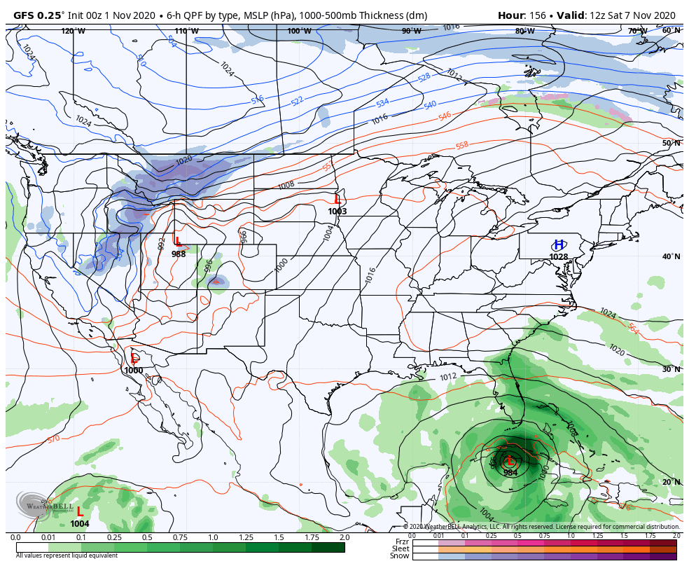
ETA is already cooking down in the Caribbean and the NHC is taking this into Central America…

As one would expect, the models are having a tough time in how they handle this. The GFS doesn’t like the central America idea for vert long and brings this toward Florida by next weekend…
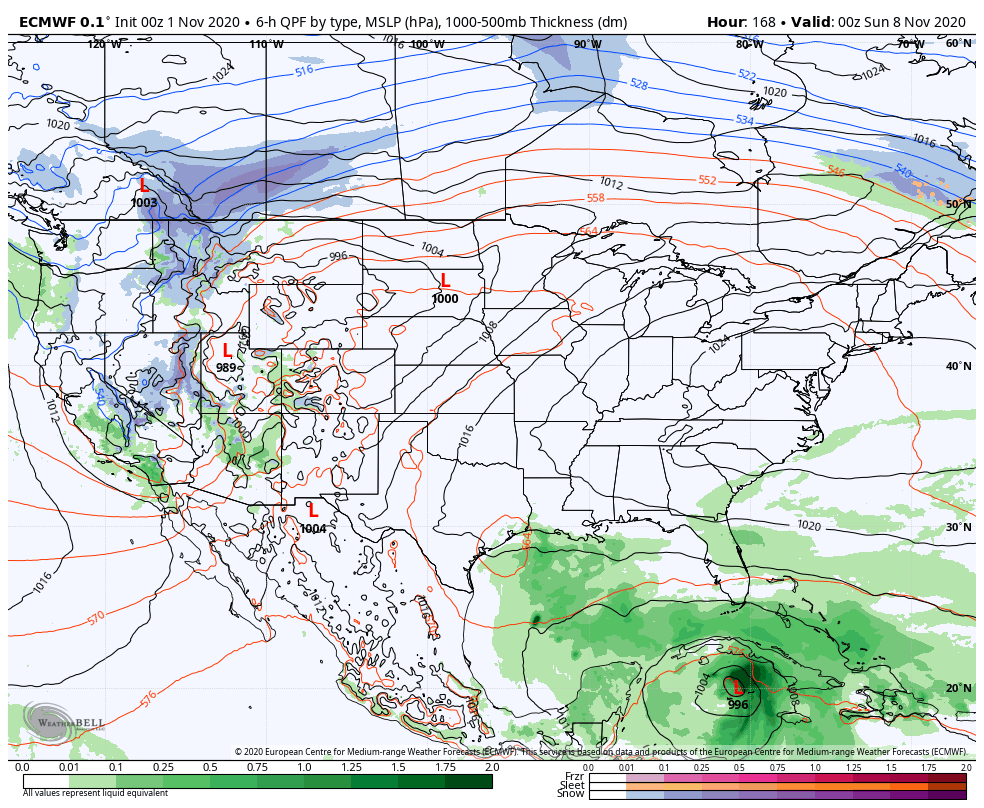
The EURO doesn’t go as far out, but has a deeper trough swinging in to pick up the storm…
The Canadian is slower and weaker with it…
All of that could make for some interesting times across the eastern half of the country for the second week of the month.
I will get more into that later today. Have a good one and take care.

Chris, I think it’s a sure bet that the growing season will end in Taylor county tomorrow morning.
Hard to look at the weather model maps with all the snow in the northern plains states and here in the Ohio Valley very uneventful.
I think it’s going to be one of though’s Winters where we get a cold spell and it will be dry until it warms up ?
An enhance southeast ridge is a snow lovers disappointment.
It is looking like we’re going to have terrific weather this week. Great leaf raking weather.
It’s been so much warmer this fall here in NW Pennsylvania that I had to mow my lawn yesterday.