Good Sunday to one and all. Our big wind machine continues to blow across the region as a cold front blasts through the state. This will be followed by much colder air over the next several days, but the overall pattern favors dry weather through the upcoming week. Beyond that, things get very active for Thanksgiving week with the potential for some winter weather. Potential is still the key word there, folks. 🙂
Winds this morning are cranking with gusts greater than 50mph possible in some areas. This is especially the case along and ahead of the front as a band of showers and thunderstorms roll through very quickly.
Here are your radars to follow along…

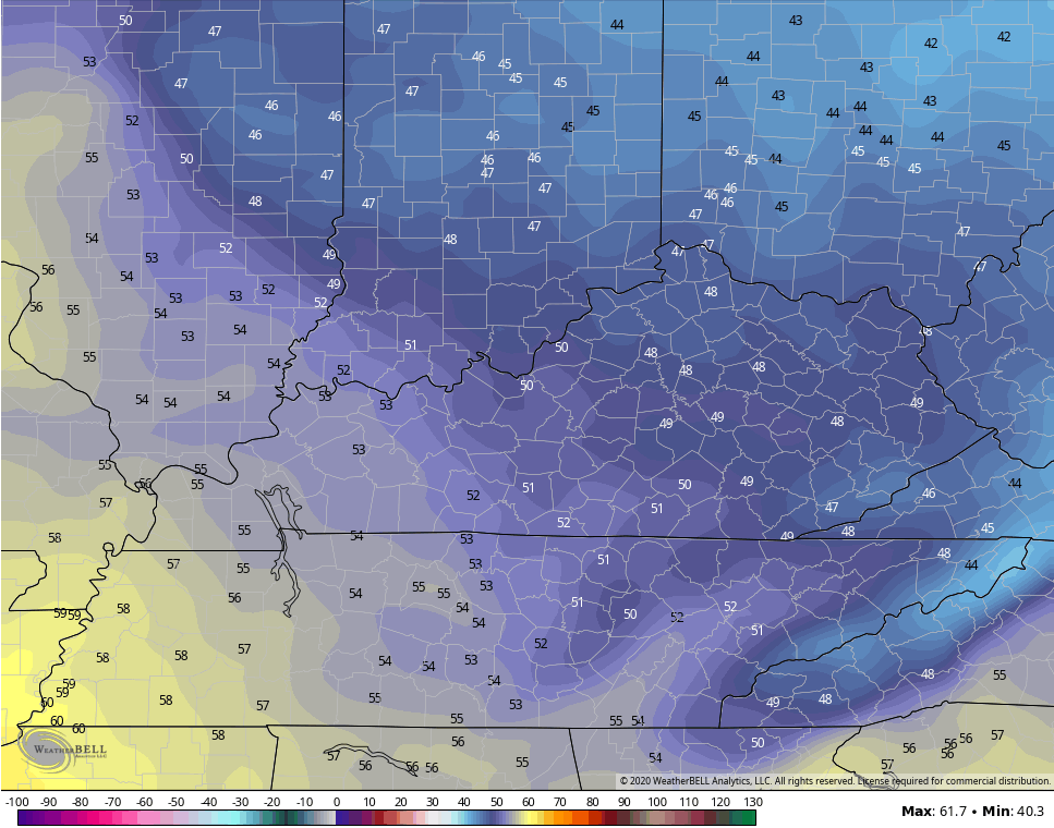
Skies become party to mostly sunny very quickly today as winds come down, but may still gust to 40mph this afternoon. Temps will drop into the upper 40s and low 50s late this afternoon.
Temps come way down behind this front for Monday with highs ranging from the upper 40s and low 50s central and east to the 50s west…
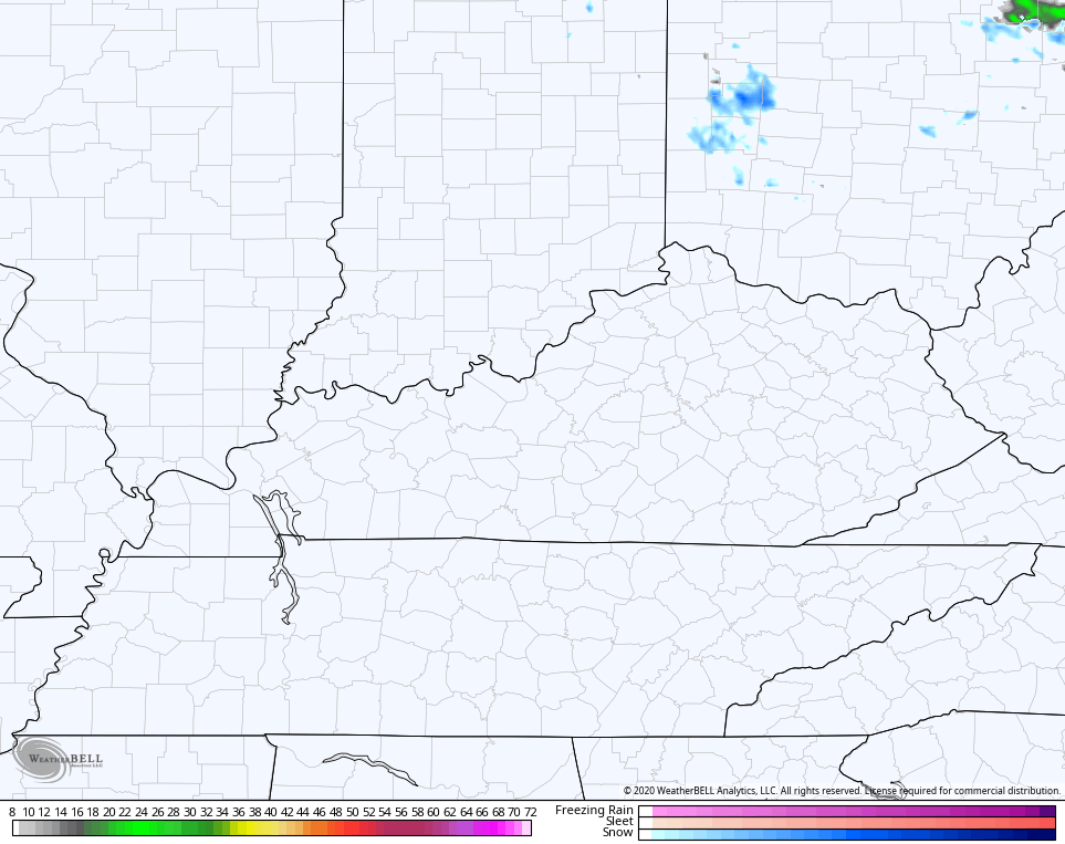
Another front slides in behind that Monday night and ushers in even colder air for Tuesday and Wednesday. A northwest wind will kick in and may bring some flakes close to the north and northeast once again. Here’s the 7am Tuesday future radar from the Hi Res NAM…
Highs Tuesday are way into the 40s for many…
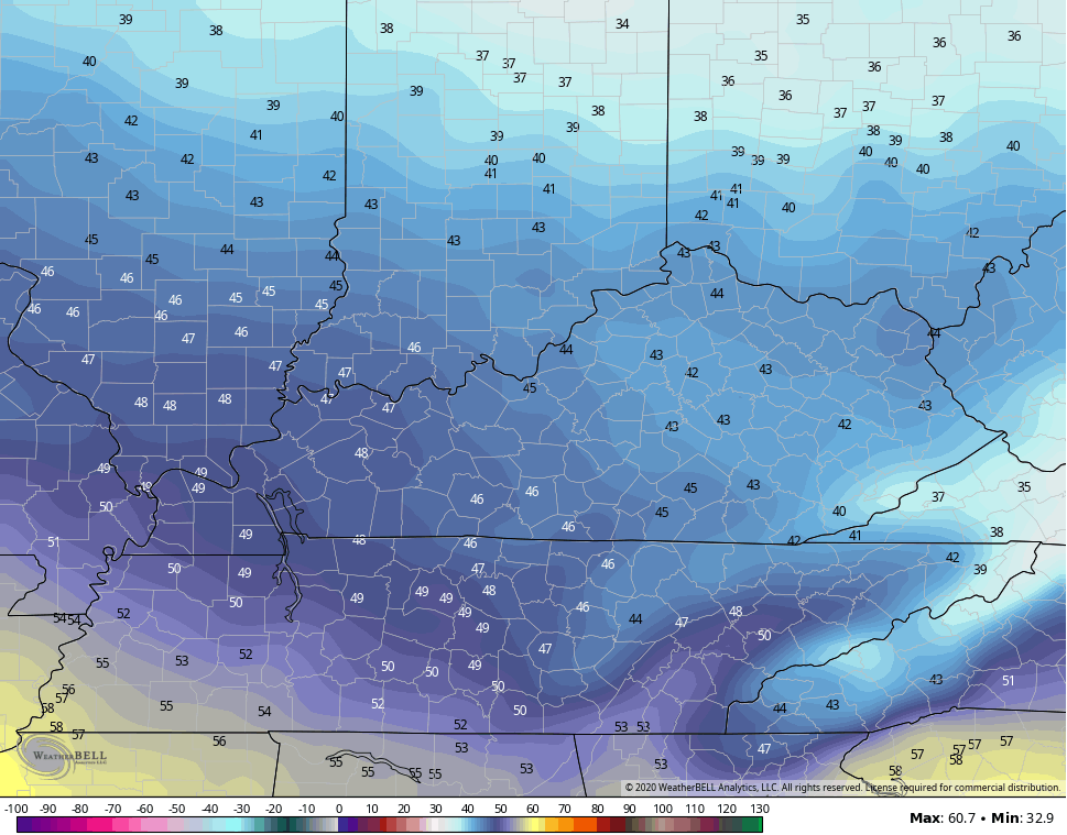
Gusty winds will give us a wind chill in the 30s for most of the day. Lows from there are deep into the 20s through the middle of the week.
Temps rebound quickly by the end of the week into the weekend and should turn awfully nice during this time as a southwest flow kicks in.
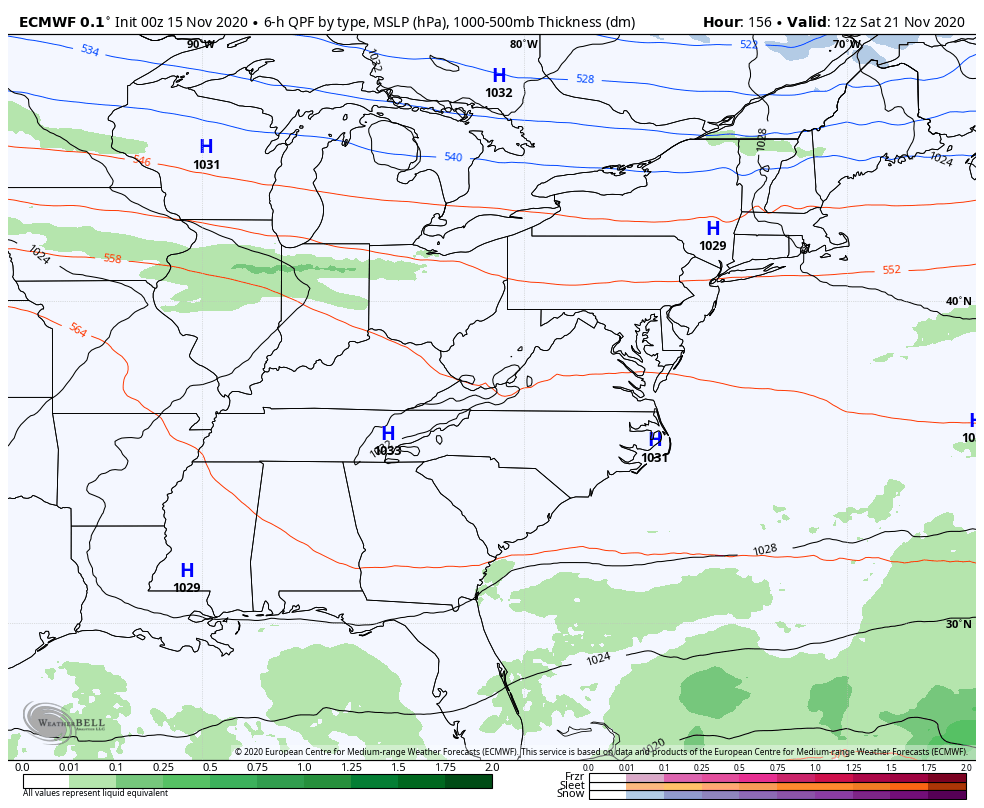
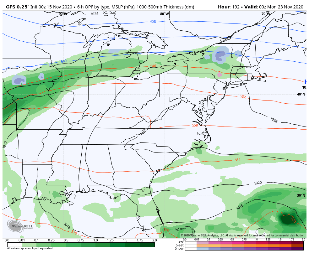
As far as setup next weekend into early Thanksgiving, we continue to find the models exhibiting wild swings from one run to the next. That’s to be expected in this time range and it’s especially the case with a lot of action going on. Here are the current runs…
EURO
GFS
CANADIAN
It almost appears the models are hinting at another tropical system developing east of Florida during this time. If that’s the case, then it will obviously impact the overall pattern. Speaking of the hurricane season will not end, Hurricane Iota is forecast to become a major hurricane as it heads into Central America…

This will be the first time in recorded history with two major hurricanes in the month of November. Folks, this current climate really is unprecedented and I hope everyone realizes how much it reduces the ability to rely on analog years for seasonal forecasting.
I will have another update later today. Until then, brave the wind and take care.

Thanks Chris, you did a good job forecasting the wind event. At this time the second line of rain showers are moving through Taylor county and the winds are picking back up. Hopefully, we will see some Sunshine later this afternoon.
Looking forward to more seasonable temperatures next week with Sunshine.
With the Tropics it is unprecedented, but I think it has happened before with the surface sea temperatures being as warm as they are now. In my opinion, it’s a cycle and it has reached it’s climax.
I think in 2020-21 Winter we will have a typical La Nina Winter with the Southeast Ridge dominating.
Snow lovers still have that chance of seeing a series of Alberta Clippers especially in northern and eastern Kentucky and in the mountains of West Virginia.
I have not seen a clipper event in Louisville for at least 3 years. It seems that way anyway.
I have not seen a clipper system here in central Kentucky in the past 12 years. Most of the time clipper systems follow a path just south of central Indiana.
Back in November 1964 I was stranded in Terre Haute, Indiana as a result of a clipper system that dumped 8 inches of snow in a very short time and the next morning the temperature dropped to -5 degrees. Had to be a record for a clipper to dump that amount of snow. Usually, you only get 1-3 inches of snow from a clipper system. That clipper that hit Terre Haute must of been enhance by Lake Michigan (lake effect.)
It would’t be impossible for a clipper system’s path to be just south of the Kentucky boarder in a very far south moving Arctic front.