Good afternoon, everyone. It’s a super busy pattern taking shape and it starts this weekend as a cold front drops in and slams on the brakes. This means an increase in showers from late this evening into Saturday with 3 systems set to follow this up for Thanksgiving week. The last of the bunch has a chance to turn wintry and may very well usher in a full blown winter pattern to kick off December.
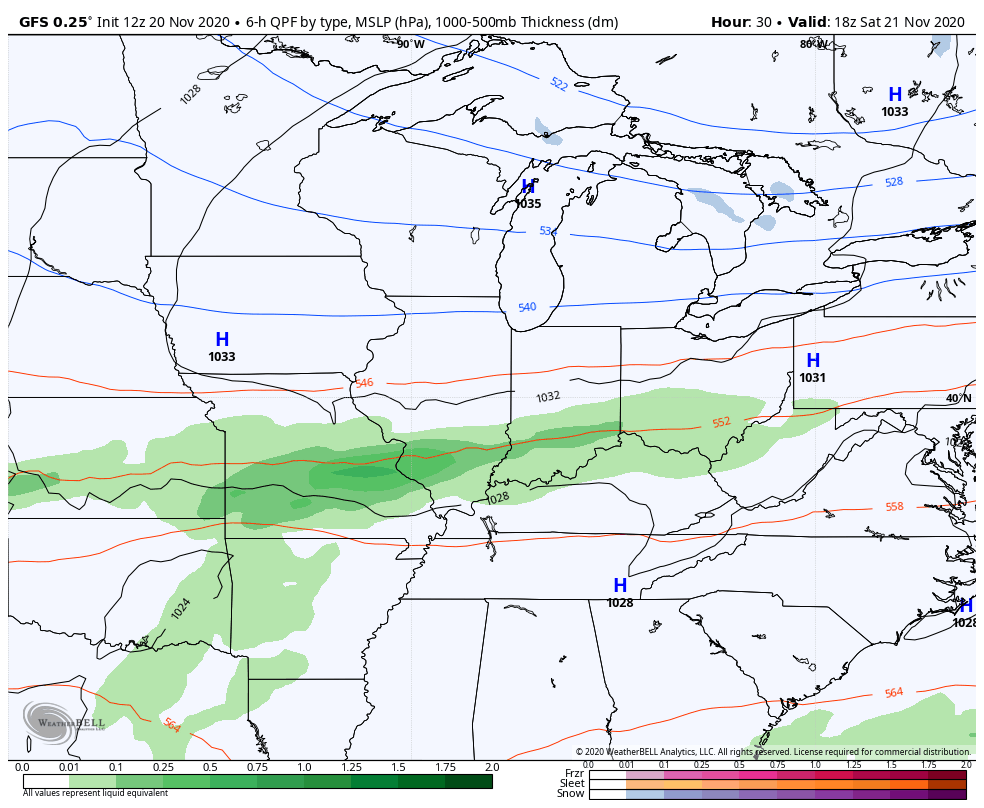
Clouds continue to thicken today as our front presses in from the northwest. Northern Kentucky will see some showers going up this evening and you can follow those on your radars…

Saturday finds showers across the northern half of the state with some sun in the south. This leads to quite the temperature gradient setting up. Temps stay in the upper 40s and low 50s in the far north, but hit the 60-65 degree range in the south.
Low pressure develops and moves along the front on Sunday, bringing widespread rain in from the west. This will be followed up by a bigger system late Tuesday into Wednesday…
Here’s a quick breakdown of how the weather should play out from Sunday through Thanksgiving:
- Temps drop quickly from west to east on Sunday with most areas in the upper 40s by late afternoon.
- Monday dries out, but lingering clouds may pose a temp issue. If clouds linger, highs may not get much above 40. Clearing skies would allow for 45-50.
- The numbers rebound on Tuesday as clouds from the next system push back in. Showers show up in the west late day.
- Widespread rain and gusty winds press in for Wednesday.
- Thanksgiving Day looks chilly with lingering clouds and early day showers.
The next system then rolls in for Thanksgiving weekend, but how it evolves remains to be seen. I do expect this system to have more of a winter look with it and it has the chance to produce some wintry weather in our region.
Here’s a check of how the models are playing it at the moment:
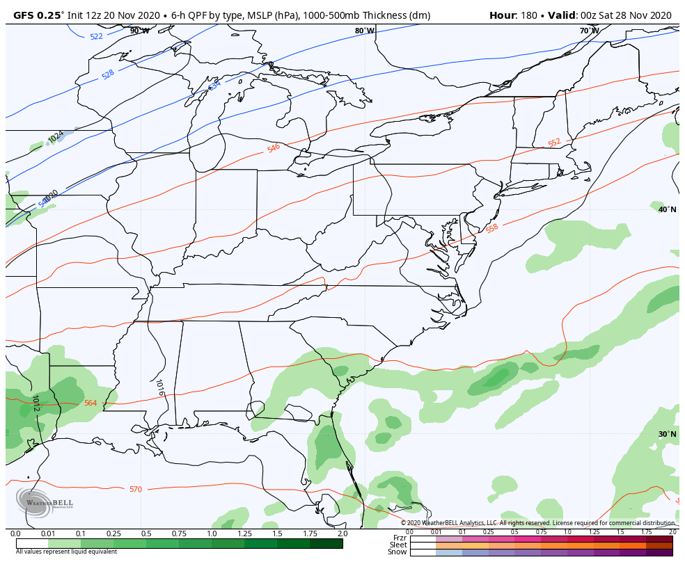
The GFS has gone back to finding this storm…
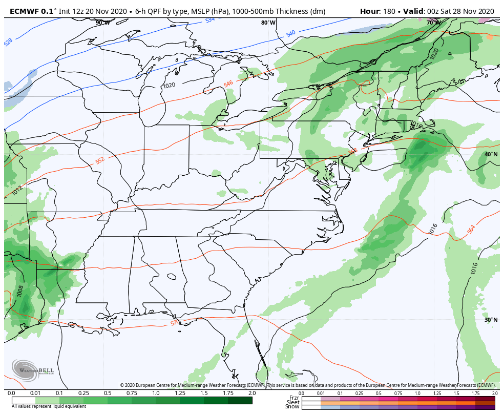
The EURO is now similar to what the GFS is showing…
The Canadian decided to crush it with colder air…

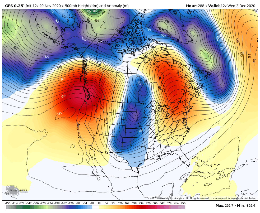
Looking into early December, the GFS is going toward the pattern signaled by the Ensembles in recent days…
Enjoy the rest of the day and take care.

Looks like festive flakes at best.
November has been so warm. Perhaps the pendulum will swing soon and we will see some wintry weather in Kentucky.
I remember the cold snap we had last year in mid-November with highs in the teens! Then it was 70 degrees on Christmas.
The only predictable thing about Kentucky weather is that it is consistently unpredictable.
Maybe we will luck up this year and have a few snowflakes for the holidays. Fingers crossed.
Chris said on his long range Winter forecast last night that maybe around Christmas we may see some snow.
I would rather have plain rain and mild temperatures, but a couple of inches of snow on Christmas Day would be nice.