Good Saturday, everyone. We have a few showers across the region today as a cold front drops in from the northwest. This kicks off a very busy week of action with several systems to track over the Thanksgiving week. It’s also a pattern trending colder as we get into the closing days of November and early December. Winter action may very well show up during this time.
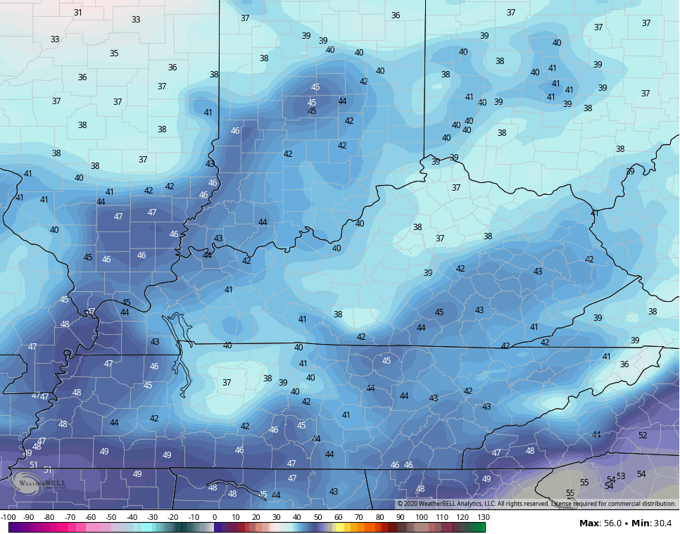
We will see a big temp north to south temperature swing out there today. Highs in the north will only be in the upper 40s and low 50s, while areas in the south hit the 60s. Scattered showers will cover a lot of the region, especially across the northern half of the state.
Here are your Saturday radars…

Low pressure rolls across the region Sunday and will have a decent band of gusty rains with it. Temps start in the 50s then crash through the 40s behind the front. As we look into Monday, things look chilly and may wind up cold for areas holding on to some clouds. The NAM keeps low clouds around in some areas and you can see the struggle to get to 40 if those clouds are real…
Temps rebound on Tuesday as we watch out next system develop to our west. This rolls in here late Tuesday into Wednesday with gusty rains likely.
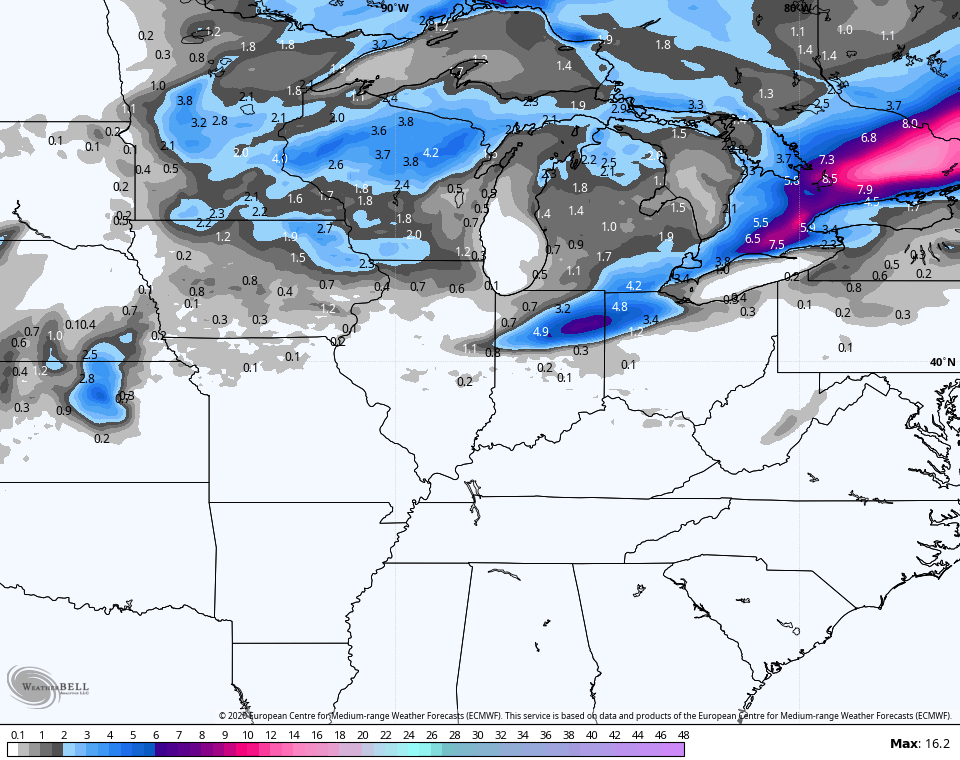
The EURO shows both our upcoming systems well and even shows some winter weather with both, mainly to our north…

Look at the snow swath to our north…
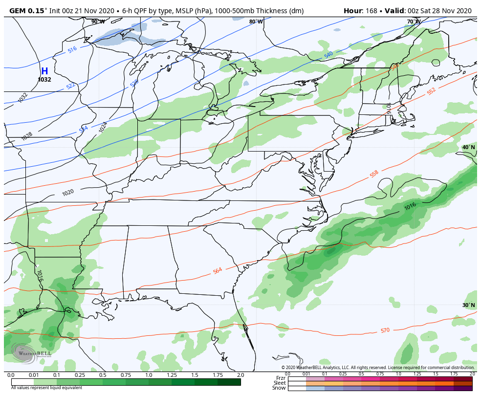
The next system coming in for Thanksgiving weekend continues to show the usual back and forth among the models, but a trend for a potent system continues to show up. The EURO and GFS are similar in showing this to be a big rain maker that switches to snow…
EURO

The GFS has a much slower system that ends with snow…

The Canadian Model crushes this system with cold…
I’ve been pointing to Thanksgiving week for a while now as having an increased threat for winter weather into the Ohio Valley. The models are certainly going in that direction and it will be interesting to watch how they play out in the coming days.
In recent days, I’ve been showing how the models have been going for a ride up the west coast, allowing for a trough to develop around here. That’s a setup that’s usually decent in for winter lovers. I’ve shown the GFS Ensembles Extended and how they keep that going deep into December. The new model run goes through Christmas Eve and sees some snow chances around here through that time…

Again, that’s not to be taken verbatim, folks. That’s just to keep you dreaming of a White Christmas until the Grinch shows up. 🙂
I will have another update later today, so check back in. Have a great day and take care.

Thanks Chris, I’ve enjoyed the temperatures we have been experiencing this Autumn, easy on the old pocket book as far as heating bills are concerned.
I afraid all that Arctic air will eventually break loose in pieces and put the Ohio Valley in a ‘deep freeze’ sometime in the near future.
This happened in December 1989. A La Nina Winter.
Correction: I’m afraid not I afraid
All I see is typical Ohio Valley weather.
But it is early.