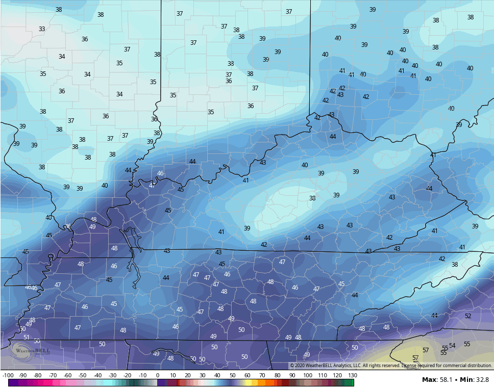
Good afternoon, folks. That huge temp gradient we talked about is currently showing up and showing off across Kentucky. This is along a cold front dropping in from the north and it’s bringing a few showers along for the ride. Things continue to look very active in the coming days as the overall pattern starts to transition toward a winter look for the end of November into early December.
Afternoon temps are in the 40s north and upper 60s in the south. Clouds and a few showers are prominent across the northern half of the state and this action is slowly sinking a bit farther south.
Here are your Saturday radars…

Low pressure develops along the front on Sunday and brings an increase in gusty showers from west to east. Tomorrow, we will likely see a different temp gradient setting up with the east briefly hitting the 60s with the west dropping into the 40s. That chilly air wins the battle behind the front. Monday has lots of 40s for highs, but any lingering cloud cover would keep the numbers down. The NAM keeps showing this…
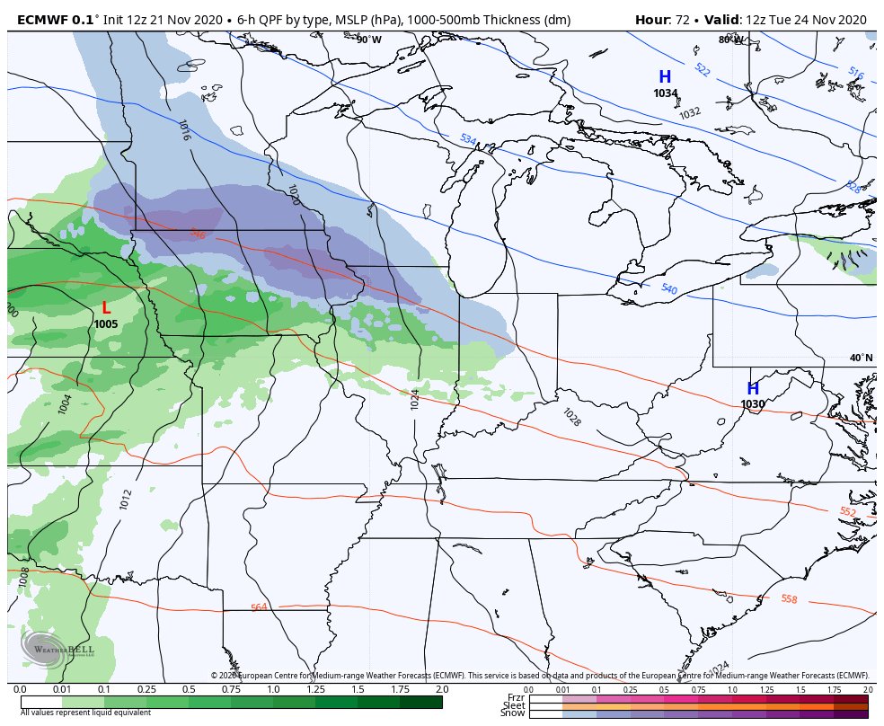
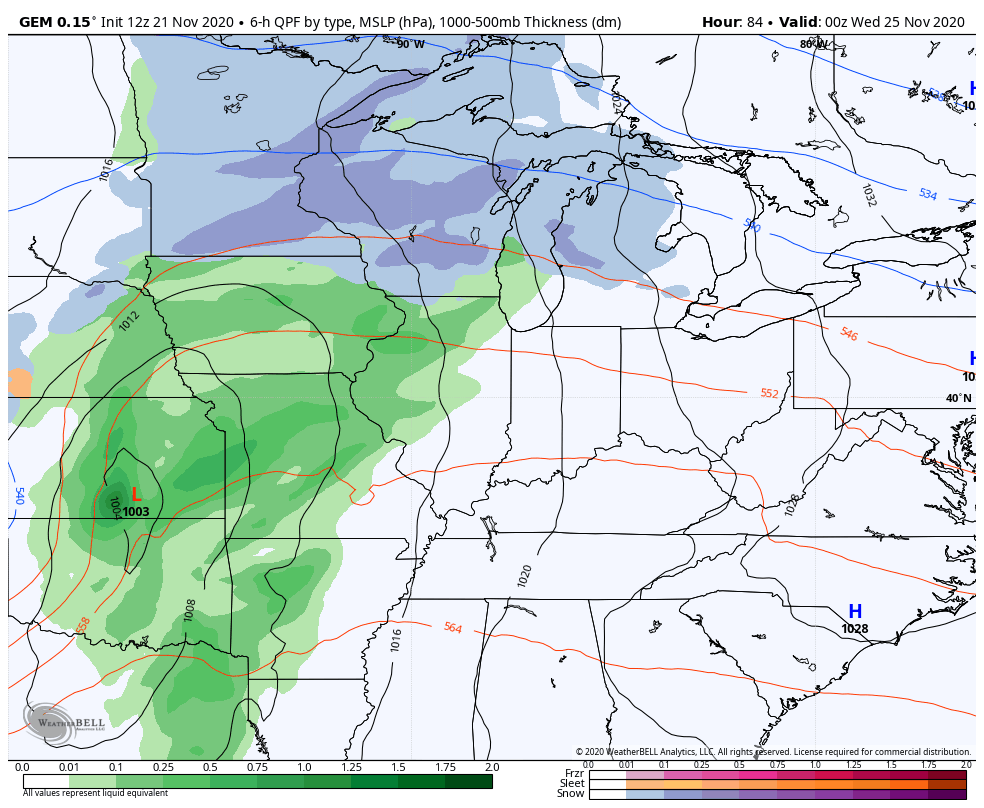
A southwest wind will kick in on Tuesday as clouds increase ahead of our next storm system. This will roll through here Tuesday night through early Thanksgiving Day, bringing wind and rain.
Here’s how the models see this…
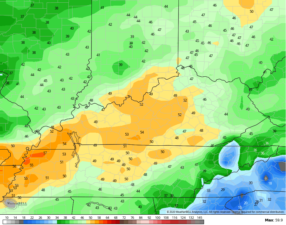
EURO
CANADIAN
The GFS is more progressive, which is a bias of the model…
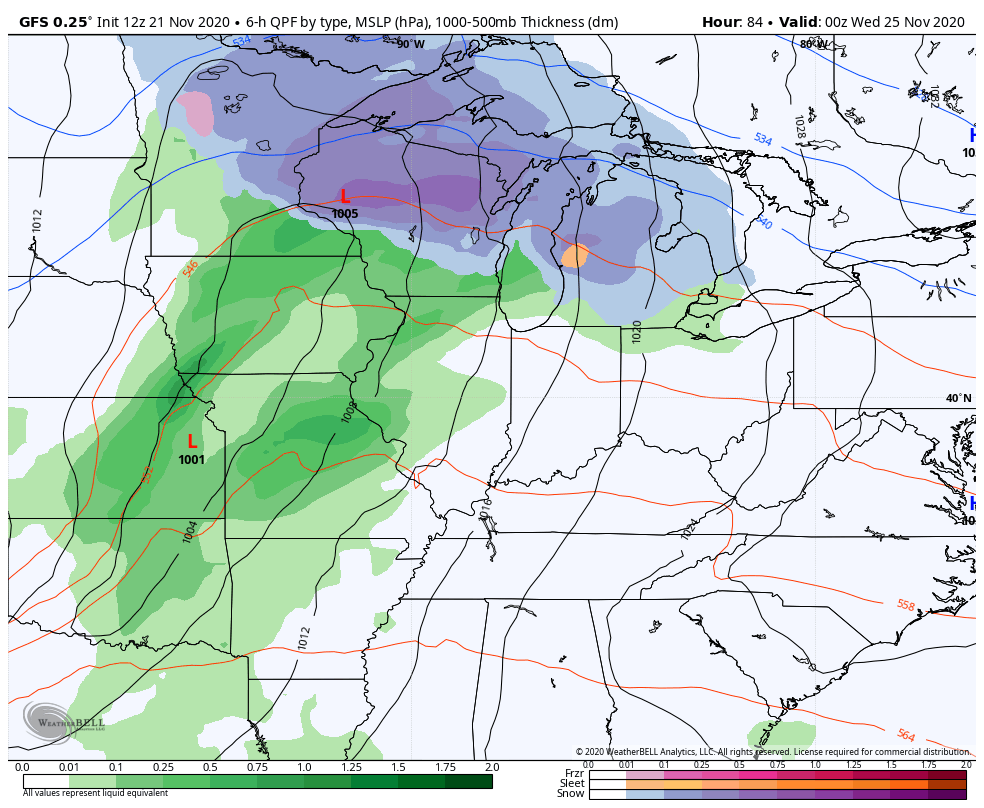
I mentioned this will also be a big wind maker. 50mph wind gusts are showing up on the models for Wednesday…
GFS
EURO
The early call for Thanksgiving Day is for clouds and showers to linger early, but skies look to improve later in the day. Temps range from the mid 40s to mid 50s.
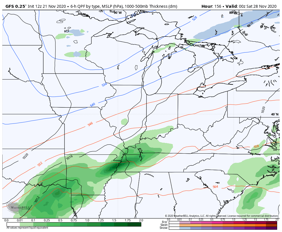
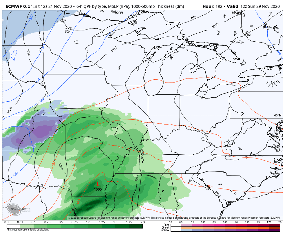
The Thanksgiving weekend system is still the one to watch for our first real taste of winter weather here in Kentucky. As expected, we’re seeing the models go back and forth on how to handle the setup. That’s always the case from a week away, but I’ve been solely focusing on the overall pattern and that’s why I started publicly targeting this period for potential winter weather.
The Canadian Model and GFS decided to trade places with this morning’s runs. The Canadian now has the rain to snow scenario, while the GFS crushes the system with cold…
CANADIAN
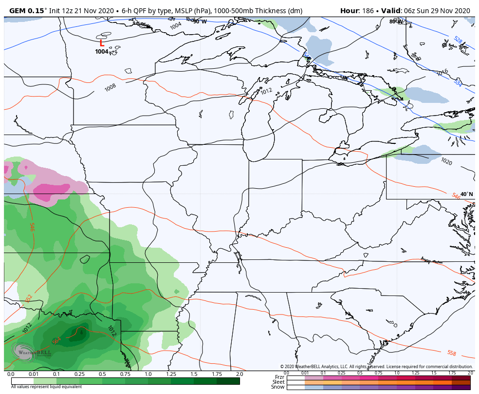
GFS
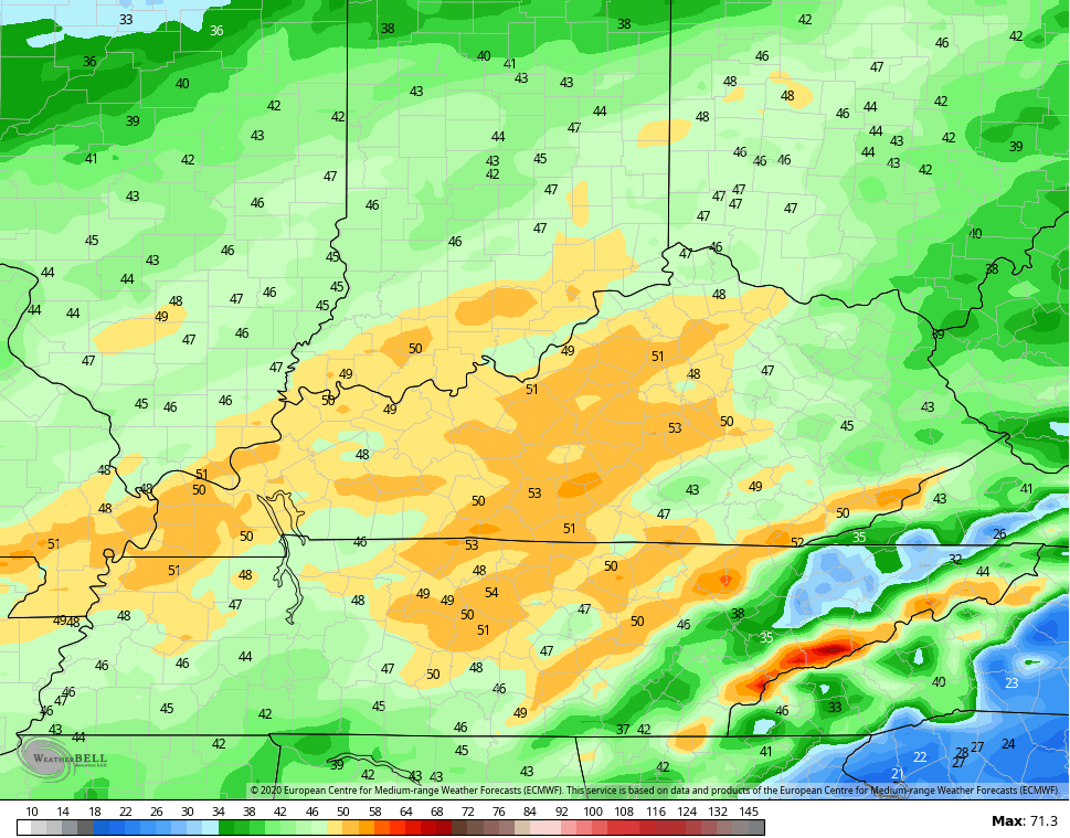
The EURO is the strongest with this storm and that’s probably because of the slow nature of the storm in bundling too much energy back in the southwest…
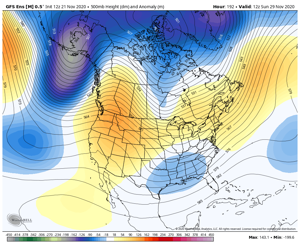
It continues to be awesome to see the various ensembles trending toward winter idea we’ve been talking about. A trough in the Aleutian Islands and a ridge up the west coast is a really good setup around here as we head into early December…