Good Sunday, folks. Rain is on the increase today as our temps go the other direction. This action is courtesy of low pressure working through the region and it’s the first of several on the way over the next week and change. The next one up looks like a disruptive system with rain and high wind by the middle of the week. The one behind it has the chance to bring winter weather later Thanksgiving Weekend.
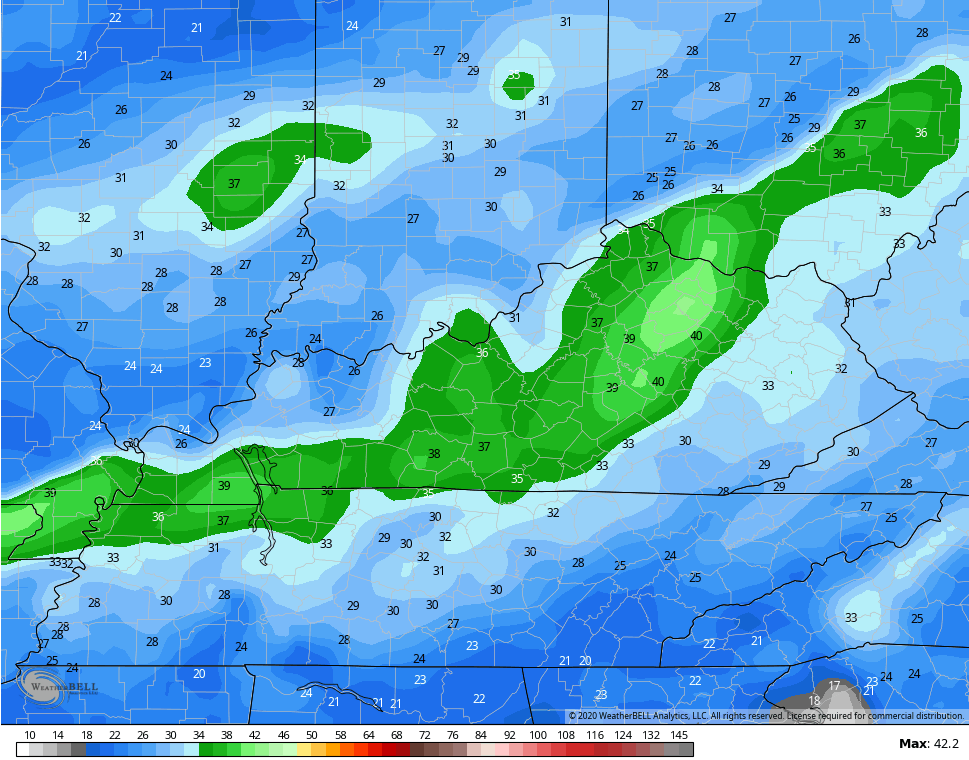
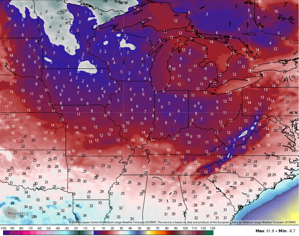
The day starts dry across central and eastern Kentucky and that allows temps to spike with some 60s in the east. Rain rolls quickly across western Kentucky then through the rest of the state this afternoon and evening as a cold front passes through.
Your radars will be busy tracking the rain in our region and the snow to the north…

Temps crash through the 40s behind the front then into the 30s this evening. Winds are going to be a player and may flirt with 40mph at times…
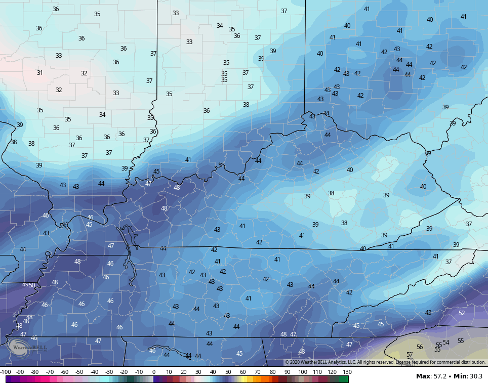
Low clouds are likely to linger into Monday for some areas. For those staying in the clouds, temps may ride the struggle bus to get to 40. Outside of that, readings are in the 40s…
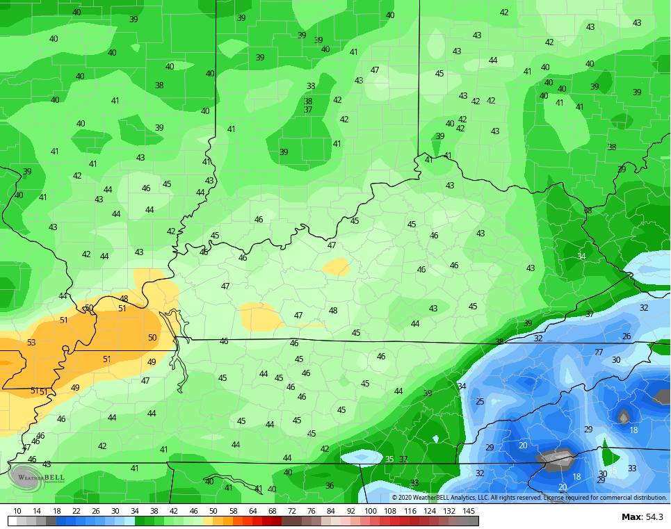
NAM
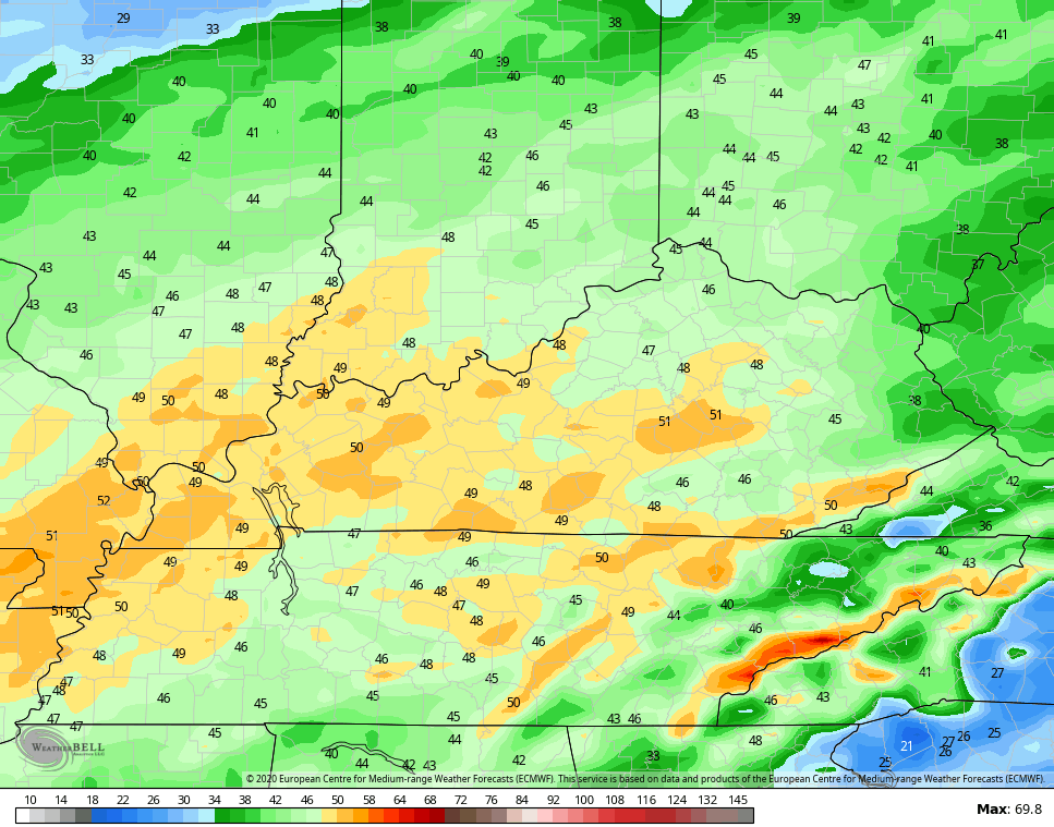
HI RES NAM
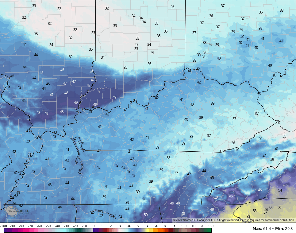
Clouds increase on Tuesday as temps get back to near normal. This is ahead of a bigger and stronger storm system moving in here Tuesday night and Wednesday with high winds and heavy rains with lingering showers into early Thanksgiving Day…
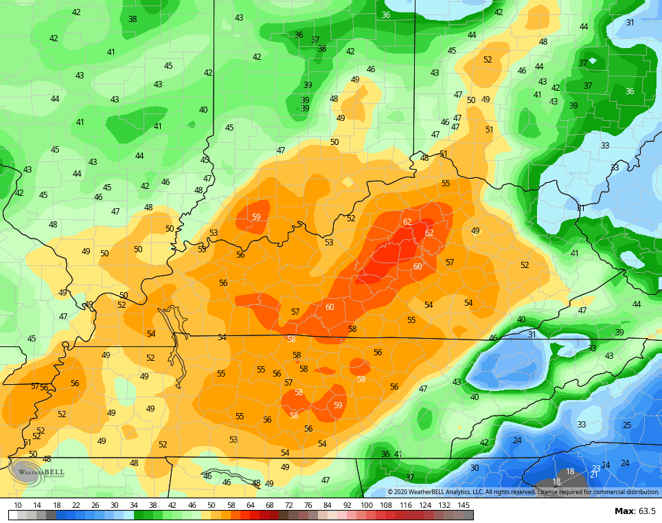
GFS

CANADIAN
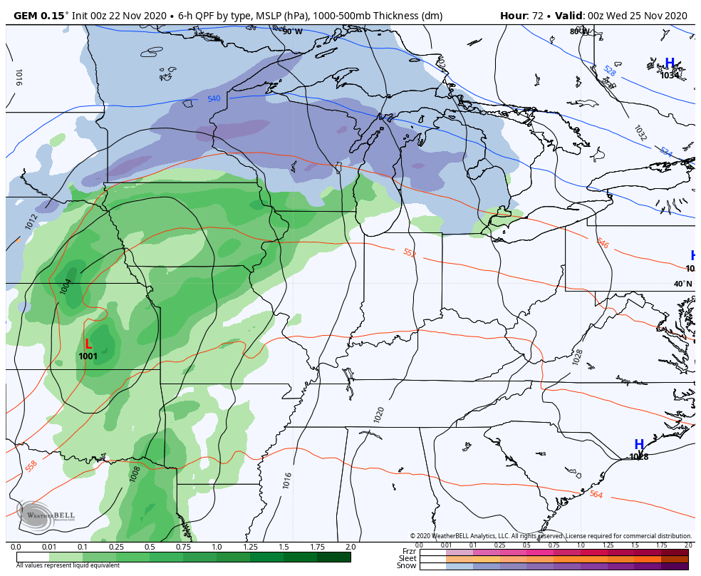
Winds will be a big player with this system and may reach 40mph or greater. Here’s the GFS…
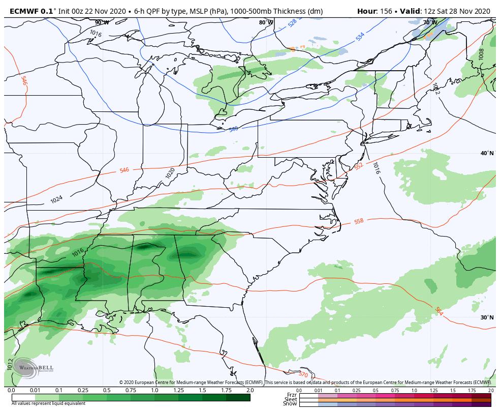
The EURO…
The NAM only goes through 7am Wednesday and has some BIG wind gusts…
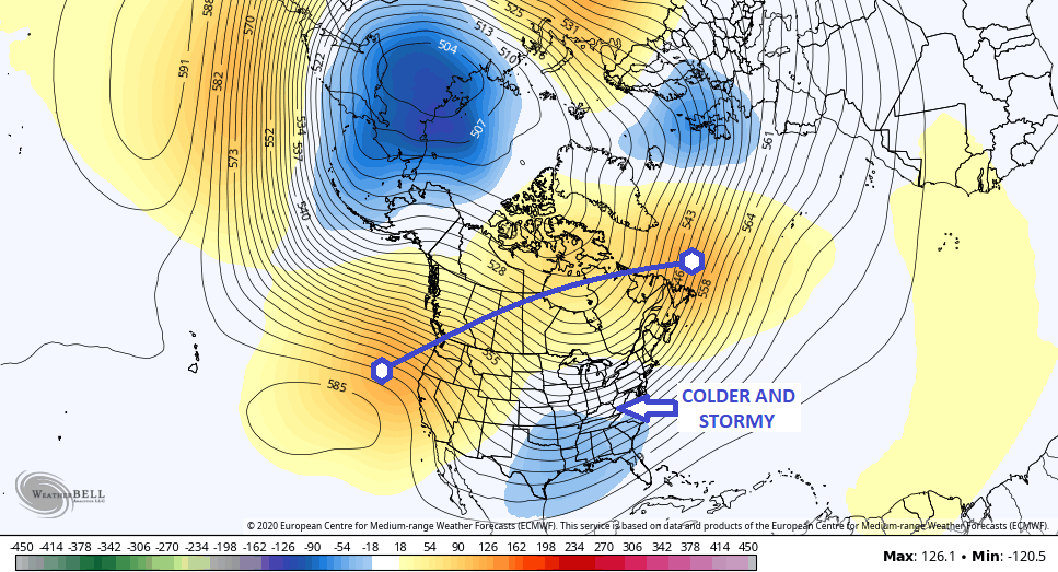
The setup behind all this for the weekend and into early the following week continues to alternate on the models from run to run. The most consistent model in terms of a general idea is the European Model. It continues to maintain the strongest storm system with rain to snow in our neck of the woods. The latest run is rather robust with this storm…
That’s a powerhouse storm that actually pulls down a lot of wind and cold air behind it. Taken verbatim, that puts snow down and produces single digit wind chills…
The GFS shows a bigger system with one run then loses it with the next. The latest run is somewhere in between…
The Canadian had a bigger system with the last run, but went back to crushing it with the cold air.
Moral of the story, take no model run at face value for the next several days. 🙂 The pattern is there to produce our first taste of winter weather during this time, so let’s just wait and see how things evolve.
The evolution of the early December pattern continues to show a trough getting established in our region as big height rises connect across Canada…
Every month has been the opposite of how the weather played out last year. Last year was a warm and snowless December. Maybe 2020 will send the year out with some winter style? 🙂
I will have another update or two later today, so check back. Have a good one and take care.

Thanks Chris, I hope we receive some good rains over the next several days, but I’m a little concerned that we may loose our electrical power due to the predicted high winds at mid week. If we do we will prevail without that Thanksgiving turkey LOL.
Tropics this morning showing an area of disturbed weather just to the east of Florida. God only knows what this will bring. UGH !
It would be fun If Winter weather started on December first and all the snow lovers out there would receive a major snowstorm and would carry all the way through March. One snowstorm after the other. I wouldn’t mind as long as there is significant melting between snowstorms.
Make it a great Sunday everyone !