Good afternoon, folks. It continues to look like a super-busy pattern taking shape as we roll into Thanksgiving week and beyond. The first system is pushing across the state right now with gusty showers and falling temps. A bigger system moves in here for the middle of the week and then we have to watch for a potential winter weather maker with the Thanksgiving weekend system.
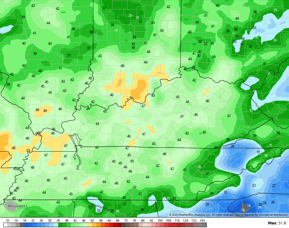
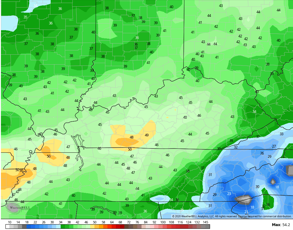
Rain is pushing across the eastern half of the state as our front slams in. Readings ahead of this spiked into the 60s, but the numbers behind it are quickly falling through the 40s on a gusty west to northwest wind.
Here are your radars to follow the progress of the rain…

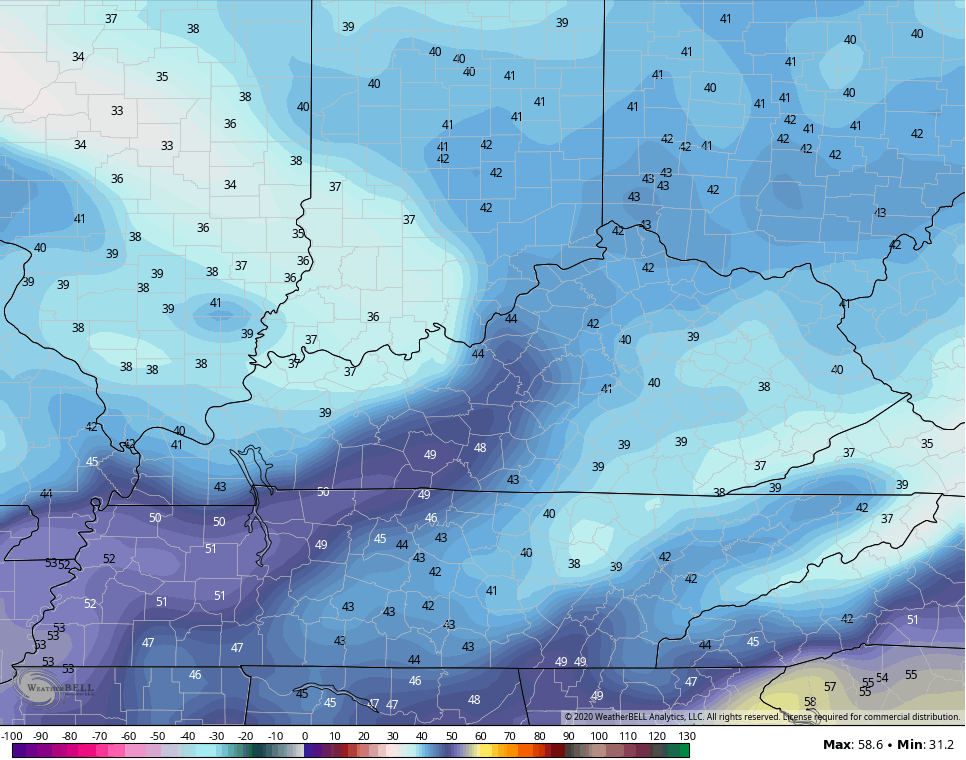
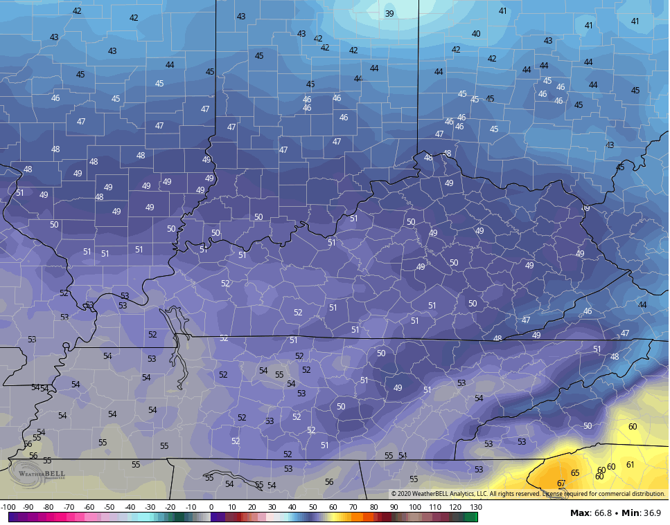
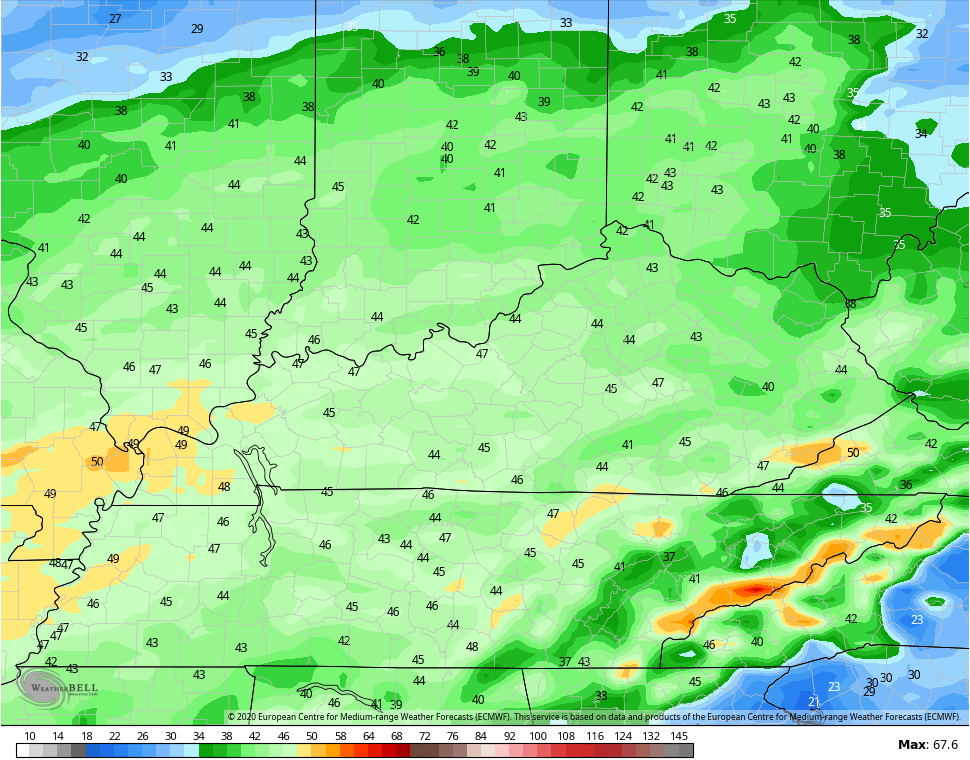
Monday is a colder day, but how cold depends on the amount of clouds hanging around. If the clouds hang tough, then our temps are going to be pretty cold. Some sunshine would boost us up a little big.
The NAM is in the cloud camp…
The GFS is in the more sun camp…
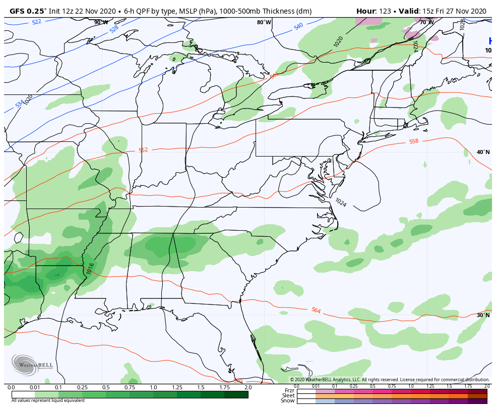
Our next storm system then slams in here for Wednesday with big winds and heavy rain. Some lingering showers may carry us into the start of Thanksgiving…
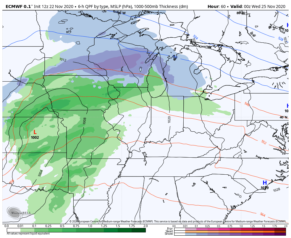
Winds are a big player with gusts of 40mph+ a good bet…
EURO
NAM
GFS
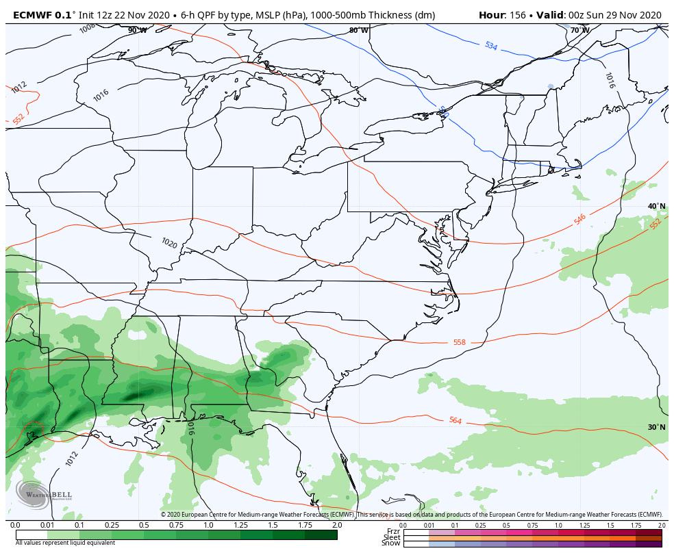
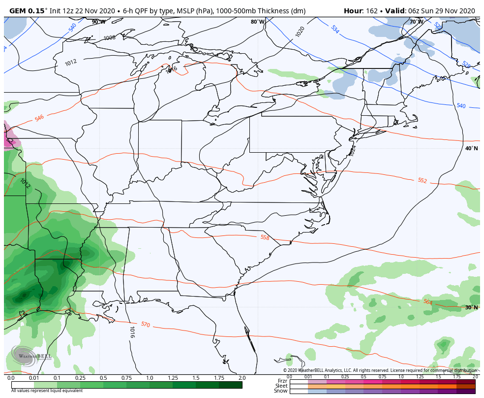
The next system coming in behind this has that look of something interesting next weekend into early the following week. We find the EURO and Canadian Models teaming up to show a major storm system that brings rain, wind, snow and cold our way during this time.
Here’s the EURO…
The Canadian during the same time…
Twinsies!
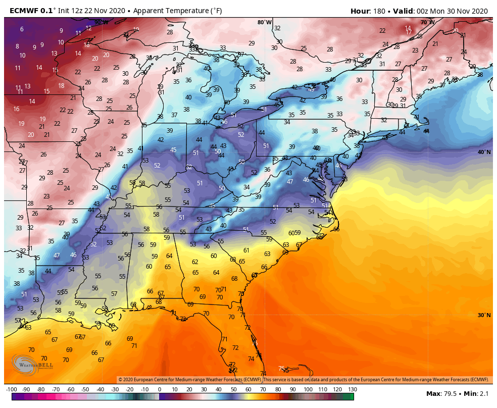
Both models put snow on the ground after a rainy start and that’s the kinda system we haven’t seen around here in many winters. Rain to snow makers have always been common until the past several years.
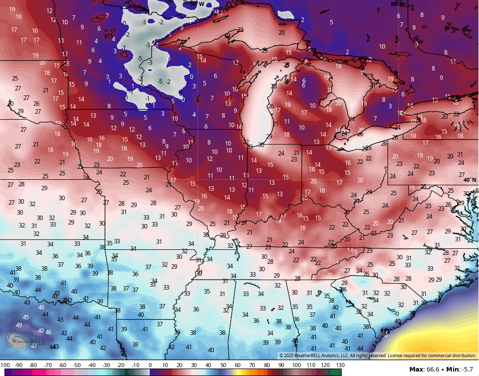
Both models also show one heck of a windy blast of cold with this. Check out the wind chills…
EURO
CANADIAN
The GFS is showing something similar to all this, but it’s doing so in the way the GFS does so. If you slow the progressive nature of the model down, you can see how it would wind up like the EURO and Canadian…
Again, the well known bias of the GFS is to be too fast and too progressive.
All of this is happening as we see blocks going up over Canada, forcing deep troughs to dig across the United States…
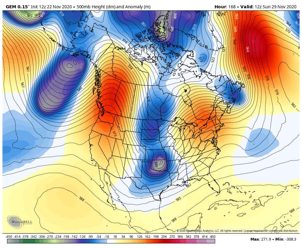
That’s a setup likely to become established into early December. Shades of 2010 and 2000 are showing up with the overall setup.
I may drop by for another update this evening, so check back. Enjoy the day and take care.
