Good Monday to one and all. Our Thanksgiving week is off and running and this is the week I’ve been pointing toward for two potential things. The first is for a very active setup and we have two major storms to impact the region in the coming days. The other is for the the possibility of the first taste of winter across our region at some point. That point may come late this weekend behind a powerhouse of a setup.
Lets kick this turkey party off with what’s going on out there today. Highs are all over the place with low and mid 40s in parts of central and eastern Kentucky, to the low and mid 50s in the west. Clouds will linger into the chillier regions and there’s still enough low-level moisture for a sprinkle or areas of drizzle early. The high mountains along the Virginia border may even see a flake or two for good measure.
Here’s regional radar…

Tuesday finds temps in the upper 40s and low 50s central and east, with mid and upper 50s west and far south.
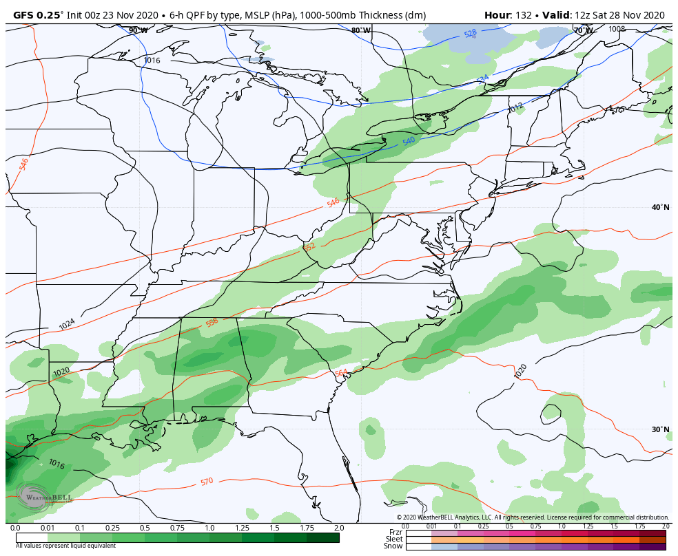
Our next storm then rolls in here Tuesday night through Thanksgiving Morning. This will bring widespread showers and even some rumbles of thunder with it…
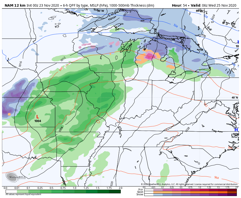
There’s even the chance for a few strong storms in far western Kentucky by Tuesday evening. The SPC has this area in the Severe Weather Outlook…

Wednesday is a nasty travel day across the region with the heavy rain and gusty winds. Those gusts are likely to top 40mph at times, but the NAM is showing gusts of 50mph…
Temps will be on a roller coaster Wednesday as they spike ahead of the front, then drop quickly behind it.
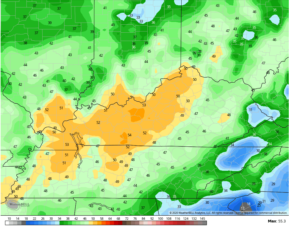
Low clouds and lingering showers will be noted early Thanksgiving Day, but should try to clear out in the afternoon. The timing on that clearing will make temps tricky for any one location, but the numbers should generally range from the upper 40s to middle 50s.
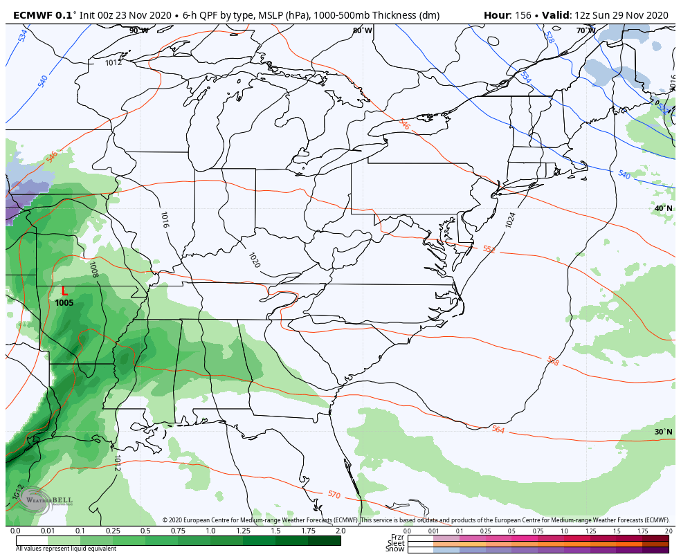
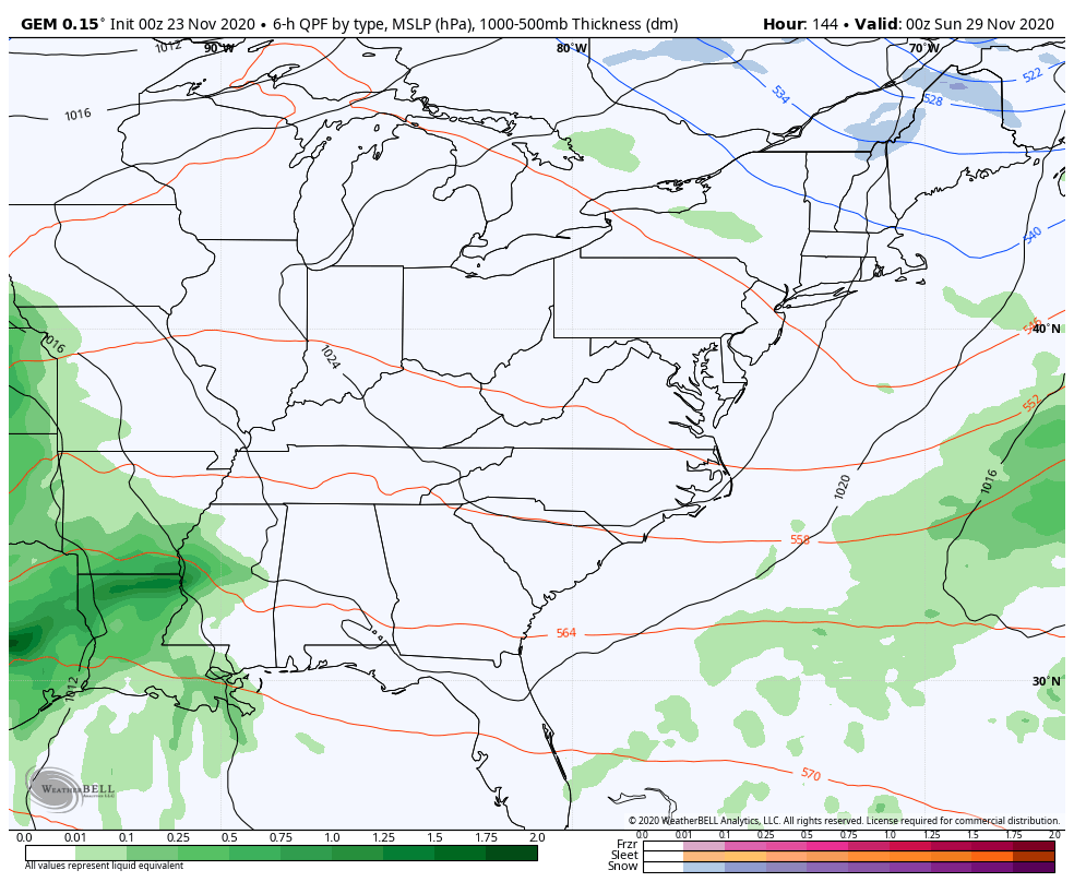
The next system coming in behind this continues to give a potent signal for the weekend and early next week. The models vary on how to handle all this energy, but there is likely to be a deep trough in the jet stream digging in here and maybe even cutting off. This would lead to a strong area of low pressure that brings rain and wind before the potential to a switch some winter weather around here. To what extent of each of those remains to be seen.
The EURO continues to show our big storm system, but the latest run was a little bit west…
The Canadian is still similar to it’s earlier run and the prior runs of the EURO…
The GFS continues to play into the bias of the model in being too progressive with the storm, but it’s starting to correct west…
The model does follow it up with another odd looking threat…
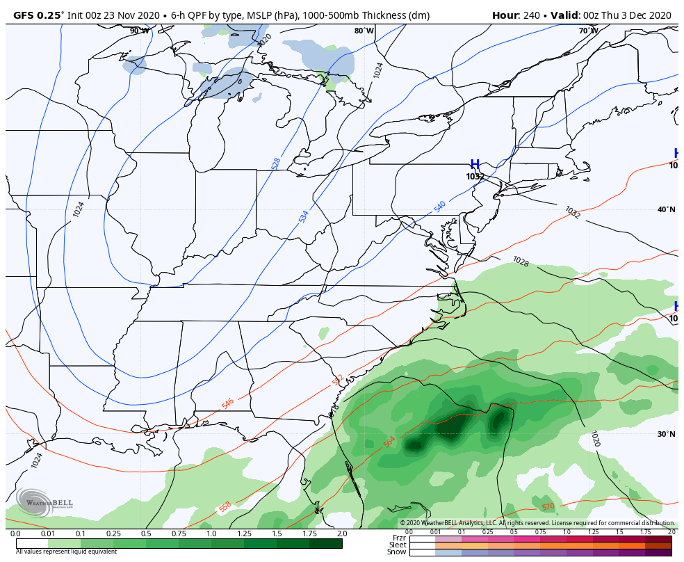
As you can see, the models have some things to figure out in the coming days. 🙂
Still, it’s good to be tracking the first legit chance for, at least, some winter weather of the season! I will have another update later today. Until then, make it a good one and take care.

In the last 48 hours we received ‘three drops on a brick bat’ and this morning those raindrops are frozen. lol
Maybe Wednesday with the next storm we will get a better chance of seeing an inch of rain ?
Hope we have electrical power to fix Thanksgiving dinner as we have company this year.
Chris, please keep those chances of severe weather away.
I hope the southeastern part of the state along with the mountain areas of West Virginia receive the first snowfall to kick off the ski season next week.
As a Southeast Kentuckian, I hope so, too! This is the first year in while we haven’t had at least a few flakes flying around by now. The Pine and the Black often have a coating by this time.
Best wishes for a safe and healthy Thanksgiving.