Good evening, everyone. As we kick off our Thanksgiving week, it continues to be all eyes on two big storm systems on the way. The initial one moves in here Tuesday night and Wednesday and looks like a disruptive travel storm. The one for the end of the holiday weekend looks equally disruptive, but it has a chance to produce our first taste of winter weather behind it.
Let’s start with the first system. Heavy rain, gusty winds and thunderstorms all impact our weather on Wednesday with lingering showers into early Thanksgiving Day…
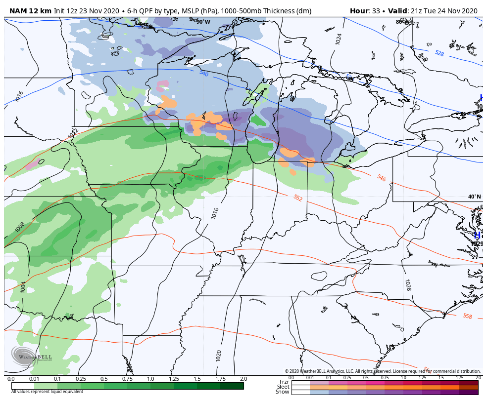
The Storm Prediction Center still has the low-end risk for severe storms across the west Tuesday night and Wednesday…

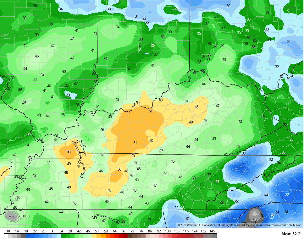
Gusty winds will be a big player with or without strong storms. The NAM continues to show some 50mph gusts…
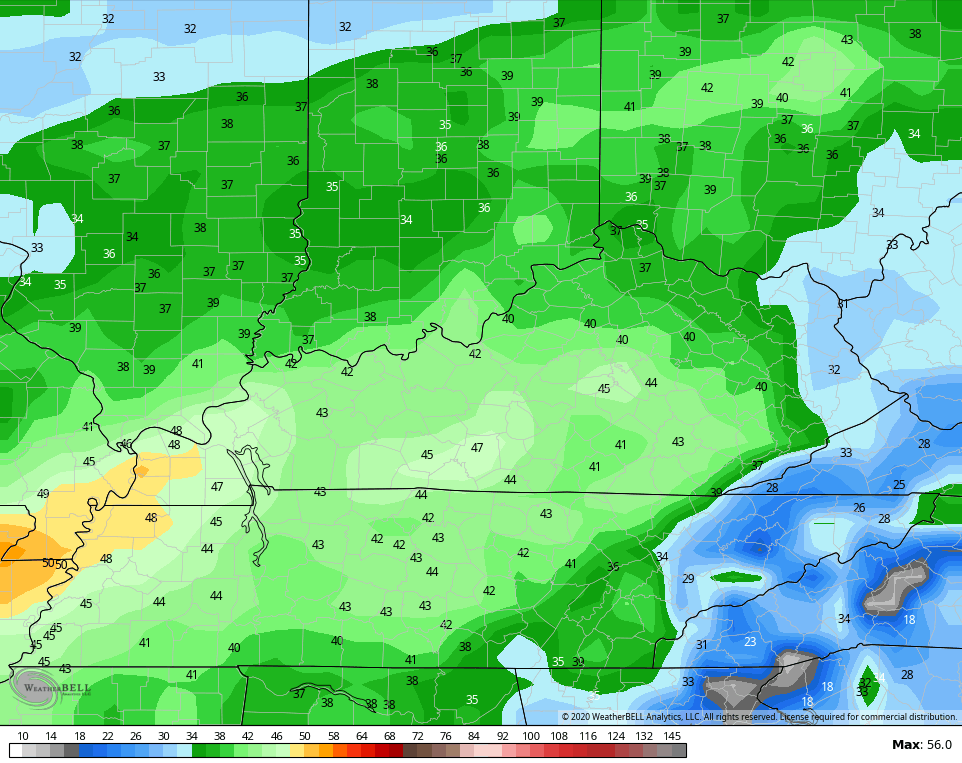
The GFS isn’t quite as windy, but still has gusts well in excess of 40mph…
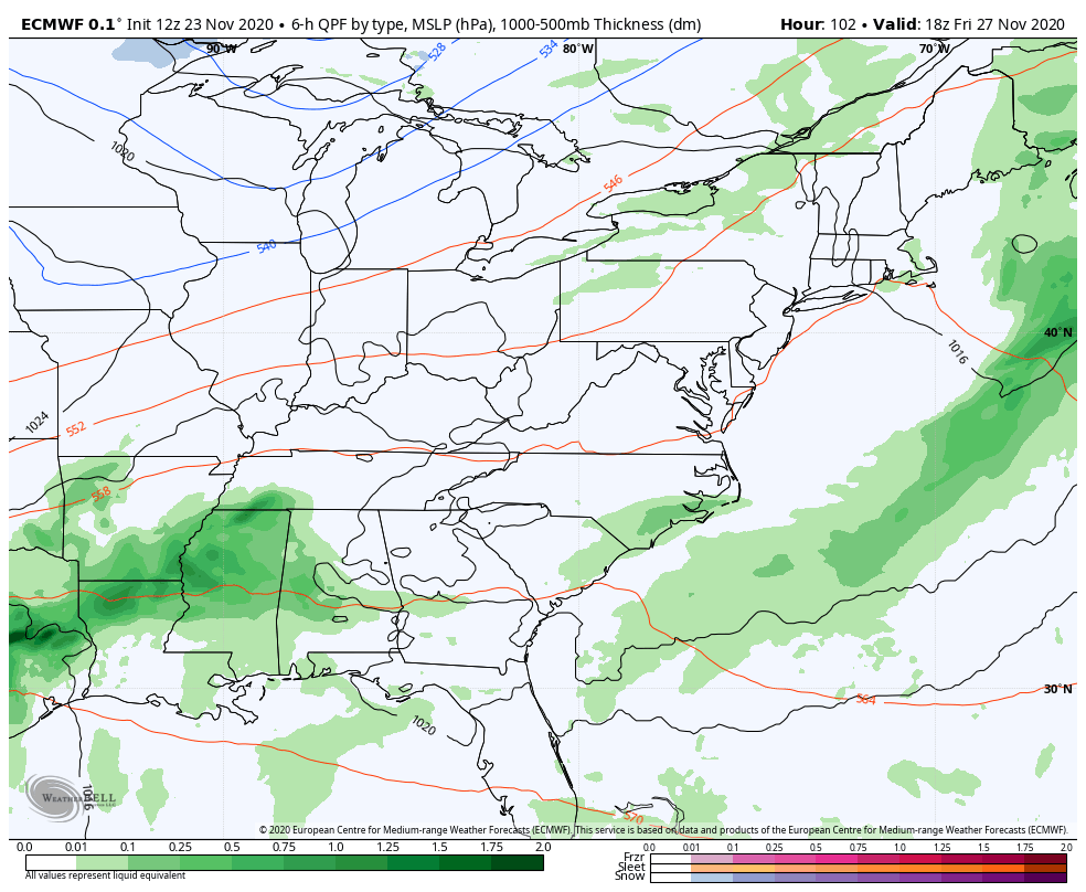
The weekend system continues to bounce around on the models, but it’s common to see that.
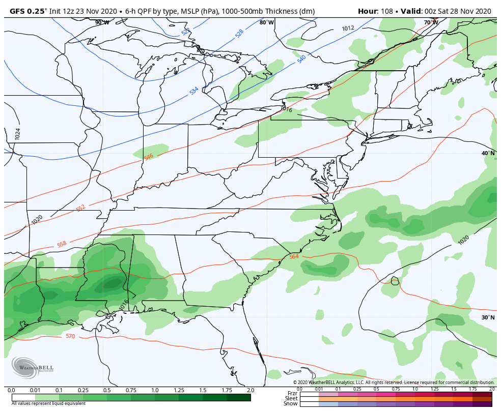
The GFS continues to push this system well to our east as the cold air comes in.
The EURO, for this run at least, decided to join the GFS with the whiff…
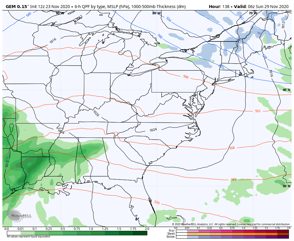
The Canadian continues to be rock solid with a phased storm that brings heavy rain, high winds then winter weather…
Again, we are likely to see more wild swings in how the models portray this system. You guys know the drill. 🙂
BTW, even as the GFS shows a miss with the weekend system, the model does go on to produce another monster closed off storm system right after that…
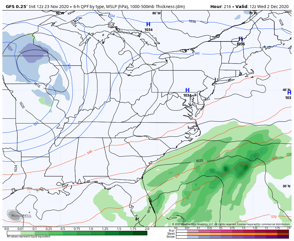
It has been very consistent with that signal… For whatever that’s worth.
As always, I’ll drop by later tonight for a full update on the busy pattern and a look deeper into December. Enjoy the rest of the day and take care.

I don’t know ’bout all that – I just hope it snows! 🙂
I don’t know ’bout all that – I just hope it snows! 🙂