Good afternoon and Happy Thanksgiving, everyone. It’s rather dreary out there today as low clouds and some mist continue across many areas. The setup ahead continues to feature a big time winter storm system rolling into our region from late Sunday through Tuesday. This is likely to bring the first blast of winter weather our way, and it could be significant if things work out just right. IF is the word, because we are still a few days out.
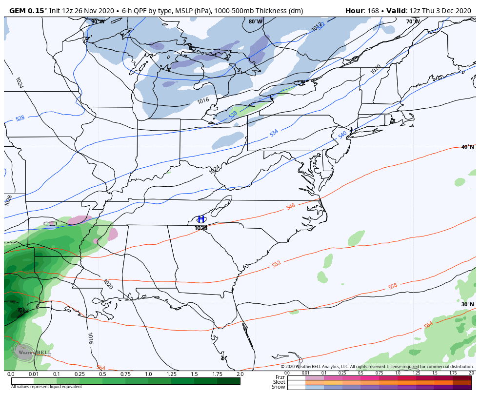
The latest GFS continues the trend of a big phase right on top of the region…
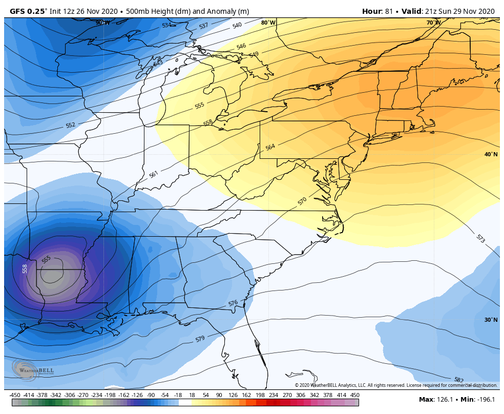
That takes our surface low up the eastern slopes of the Appalachian Mountains then brings it west for a bit by late Monday and Tuesday…
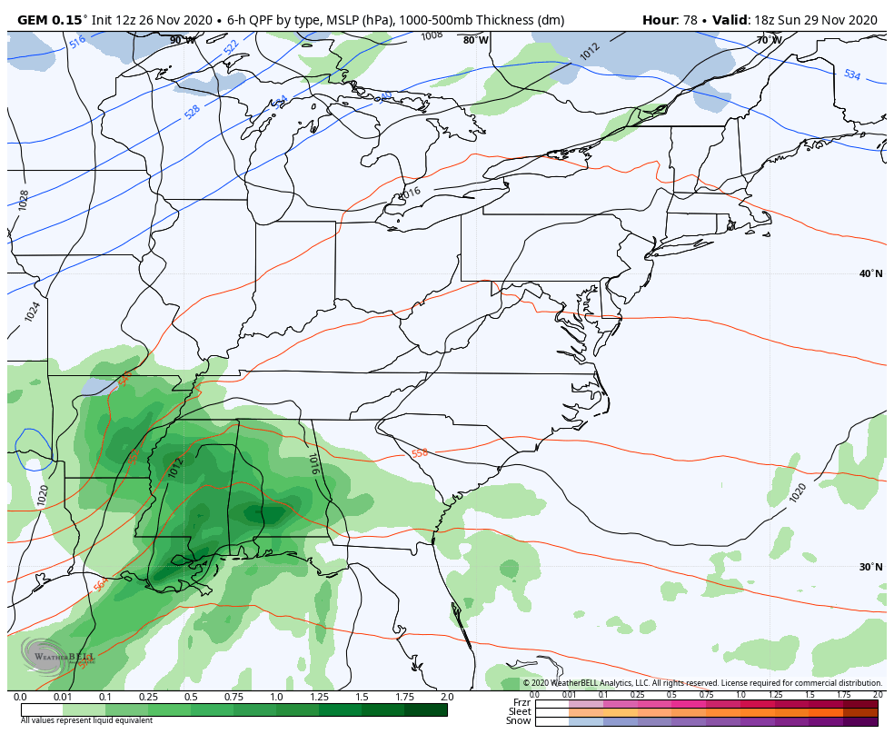
The Canadian is similar, but just a little more progressive…
The EURO is also in camp of being a bit more progressive…
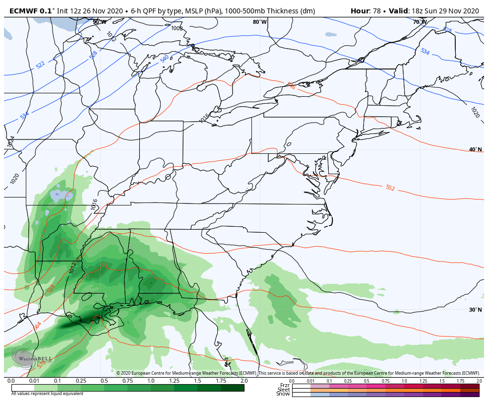
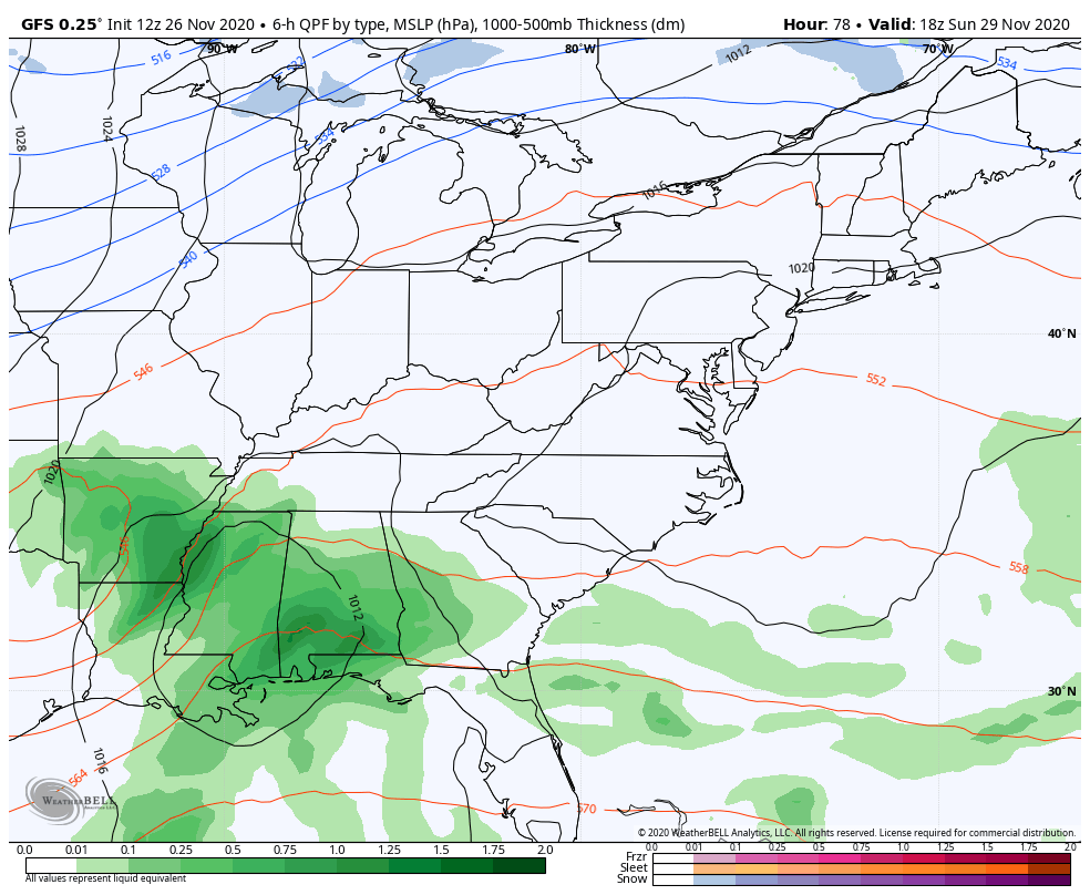
All available modelling continues to bring accumulating snows to the region. They just differ on the amounts and placement of those amounts. Once again, I cannot tell you just yet if you’re house will get a little bit of the white stuff or enough to have some serious fun is. I won’t be making any snowfall forecasts until, at least, Saturday.
Exactly where that upper low sets up will determine how far west and southwest that low can retrograde will be key in just how much snow we can get around here. Here’s a very early map showing the areas with the best shot of receiving, at least, some snow…
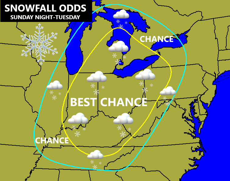
Some thoughts…
- This will likely be our first snowfall of the season, but I’m still not ready to commit to totals. Are we talking something very light or a thumper like the models suggest? It’s still just a bit too early to get specific.
- The way this APPEARS to go from this point is that rain moves Sunday afternoon and evening. As the low wraps up and pulls cold air in, snow takes over late Sunday night into early Monday. That trend comes from west to east. Periods of snow would then continue through Monday night before transitioning to snow showers and flurries Tuesday.
- Winds are going to be a big player and may gust to 30mph or a little greater.
- Temps drop below freezing quickly early Monday and should stay there through the rest of whatever event happens.
Another system will try to follow this up by the end of next week and come at us from the southwest…
Lordy, I can’t even think about that one right now. We have enough on our plate to figure out this first one. 🙂
I will have another update later this evening and on WKYT through the evening. Have a Happy Thanksgiving and take care.

Looks like the second system will be southern KY’s only hope for a decent snowfall (within the next week).