Good Saturday, everyone. Not that it takes a lot to reach this status, but today is a much better weather day than what we had on Friday. Some folks will see lingering clouds, while others see some sunshine as temps continue to run below normal. I continue to watch the upper level system moving in later Sunday into Monday and this can still bring a few flakes our way before the pattern relaxes a bit.
Let’s kick this weekend party off by tracking a few early day sprinkles or flakes in the east and southeast…

As I mentioned in earlier posts, the trend in the next system is for some flurries or very light snow for some. This is looking more and more like a setup that can produce more flakes along the beaches of the Carolinas than in our region.
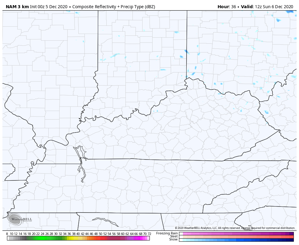
Still, we are seeing some flake potential later Sunday and Monday. The future radar from the Hi Res NAM shows some festive flake action…
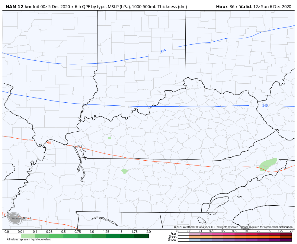
The NAM has a similar look…
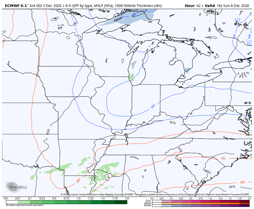
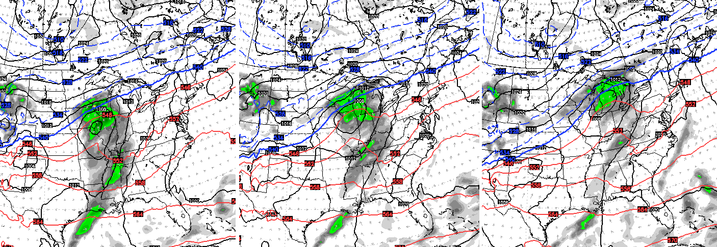
EURO
The pattern does turn much better for the middle and end of next week as things calm down and mild up. Temps should hit the 50s before the week is over.
A cold front will make a run at us by Friday and Saturday, but the models differ on the overall setup with this transition back to winter…
EURO
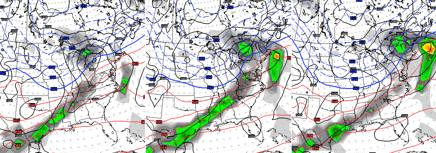
GFS
That takes us into the week of the 14th and this is the time period to watch for winter weather makers to return to our region. That’s a signal that’s been there for a while now.
I will update things later today. Have a great Saturday and take care.

Thanks Chris, For Winter Lovers out there it’s still late Fall and there is plenty of time for snowstorms to occur in our area.
I remember in the year 1976 we didn’t have any snowstorms until after New Years Day 1977.
In the meantime I’m going to focus on the Nor’Easter that is beginning to take shape.
I am looking forward to some sunshine.
what happened to the snow for tomorrow
That has been an often asked question over the years on this webpage.