Good afternoon, folks. Our system dropping in from the northwest continues to look like it can bring some of us some festive flakes, but that’s about all she wrote in the coming days. The pattern after this takes a breather into next week, but it quickly ramps up next weekend as winter fights back in for the weeks leading up to Christmas.
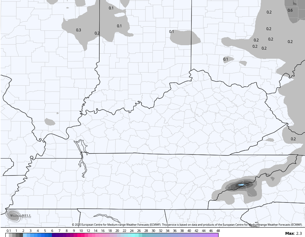
The models continue to advertise a few flakes flying later Sunday into Monday, but they really aren’t very impressed at this point. Here are the areas they think sees some flake action…
The Hi Res NAM is the best friend for those wanting to see flakes as it has the best coverage…
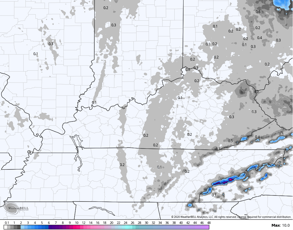
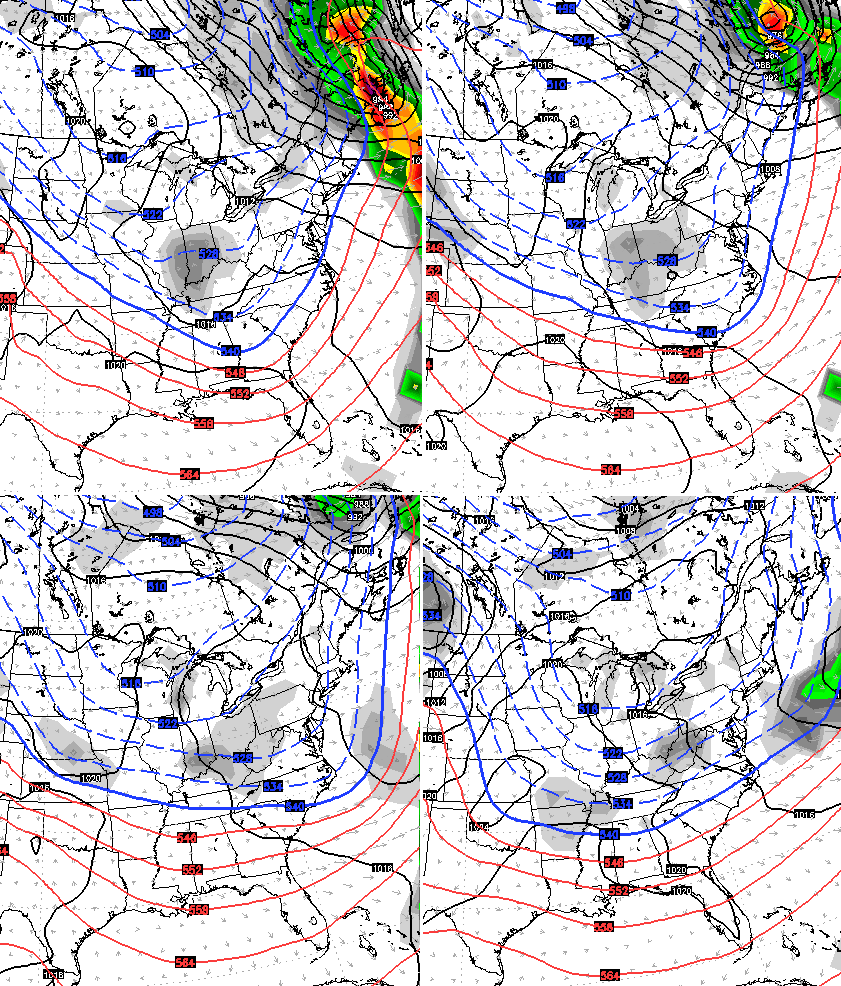
NAM
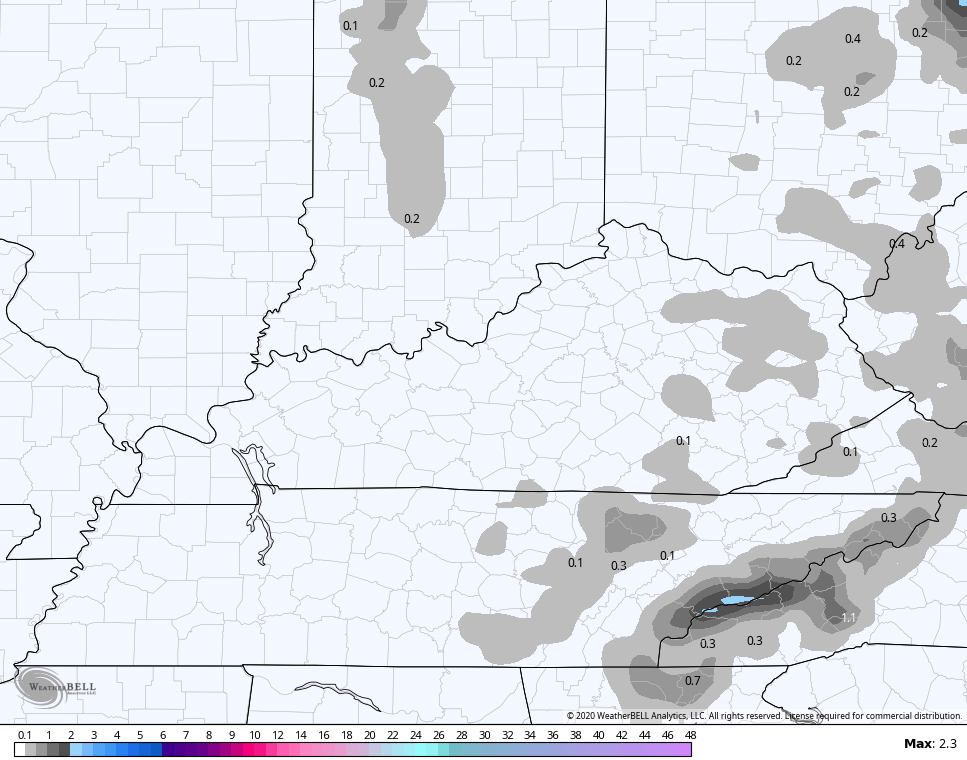
GFS
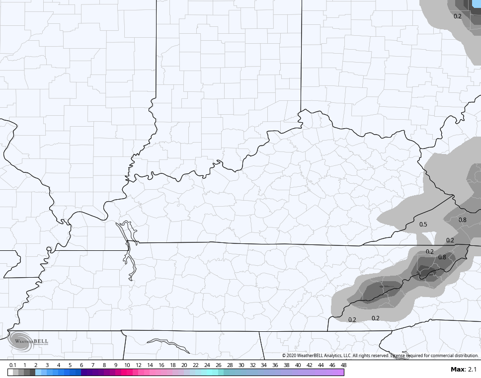
CANADIAN
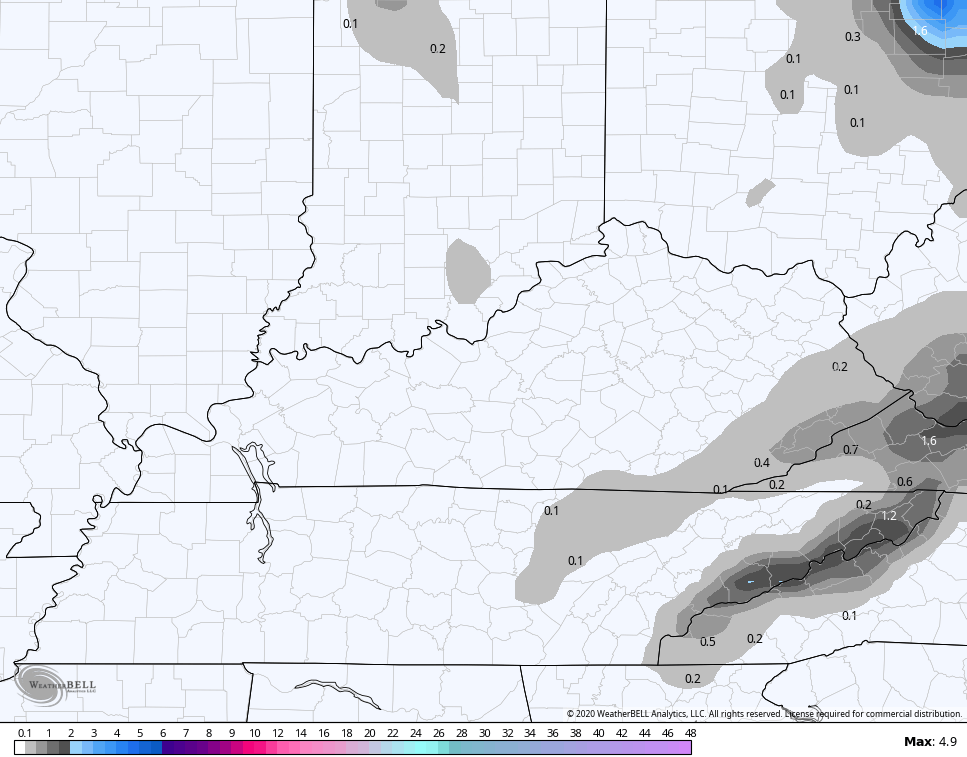
EURO
Temps recover toward the 50s for the second half of next week as dry skies continue. This looks like a really nice setup for a bit.
That changes by late Friday into next weekend as a cold front and storm system works through here. This brings rain and wind ahead of it before winter crashes back in behind it…
EURO

Here’s the setup right behind it…
Enjoy the rest of the day and take care.

Thanks for the update.
Not much excitement going on for the next few days.
Which is probably a good thing.