Good Sunday, everyone. We have a couple of upper level systems dropping in from the northwest over the next few days. These won’t have a ton of moisture with them, but should have just enough to touch off pockets of light snow and flurries. It’s even possible for some very light accumulations to show up for some later tonight and Monday.
The first piece of energy begins to fire up some clouds out there today and may spit out a touch of showers of rain and snow later in the day. If those show up, you will find them on your radars…

There could be some enhancement of the action overnight and early Monday across parts of eastern and southeastern Kentucky. After that swings through, there’s another upper level system dropping in Monday night and Tuesday. That could keep some flakes going for parts of the region.
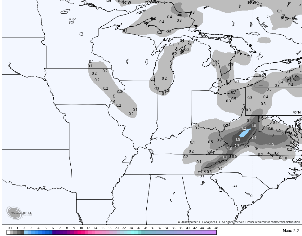
The Hi Res NAM has the uptick tonight and early Monday in the southeast and shows the flake action behind this into Tuesday morning…
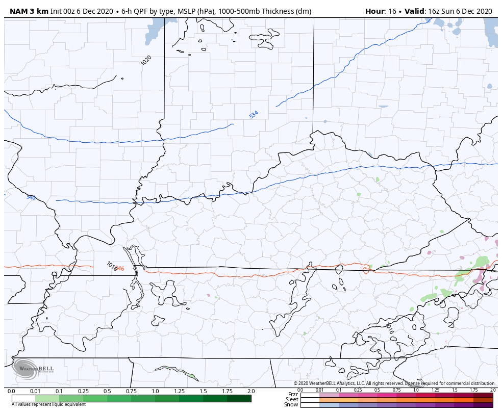
Here’s the areas that run of the NAM shows getting in on some flakes…
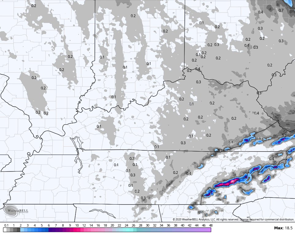
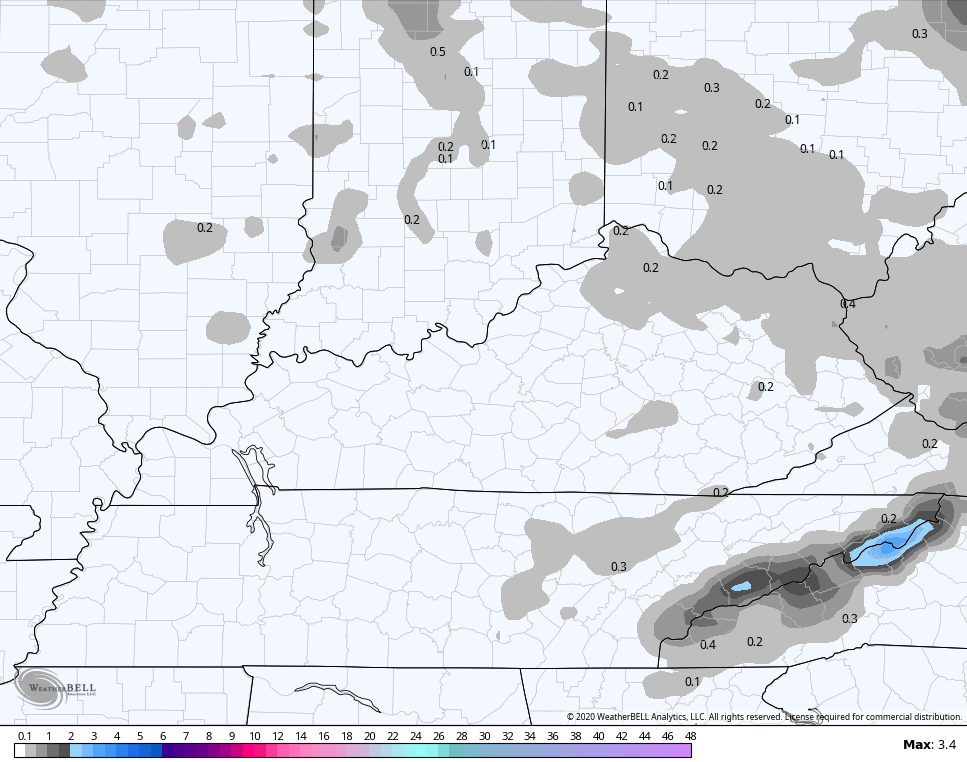
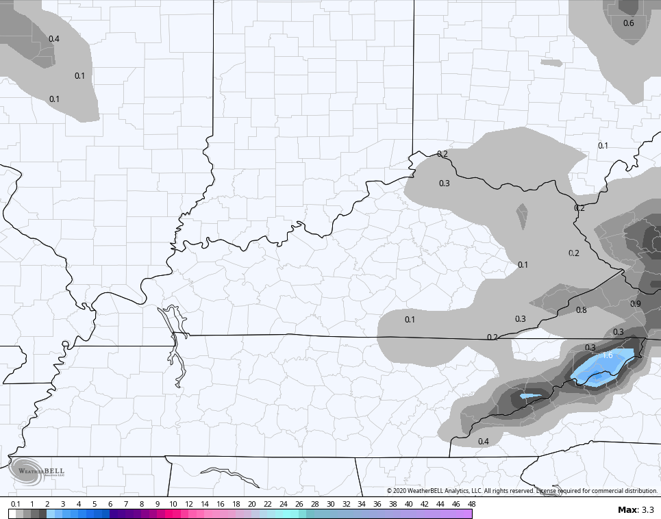
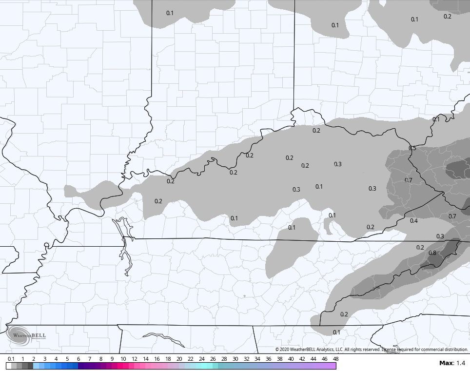
Here’s the NAM outlook through Tuesday…
The GFS…
GFS ENSEMBLES
SREF
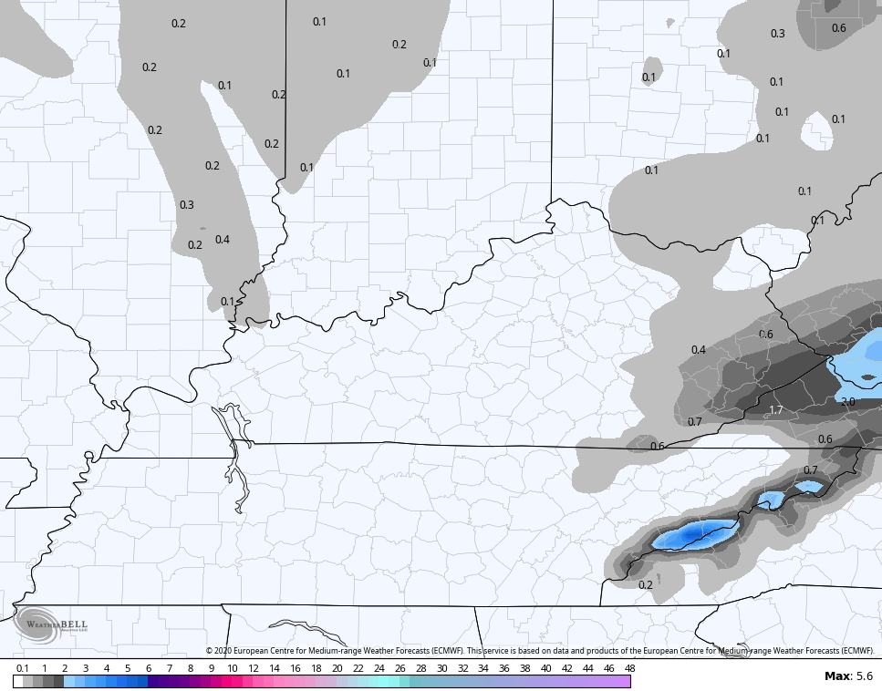
EURO
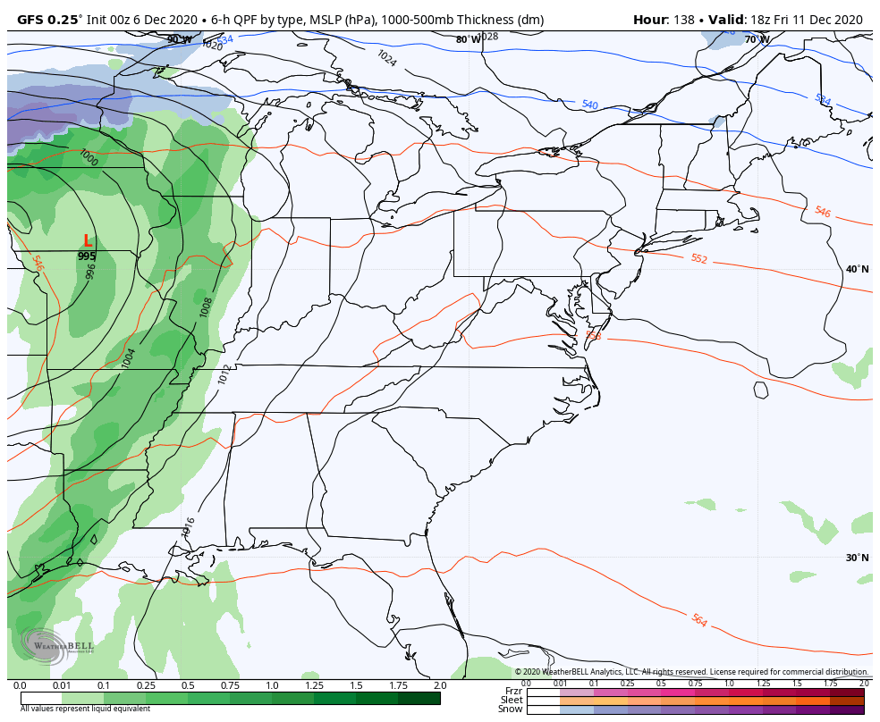
Below normal temps continue through the first half of the week, but the numbers jump for the second half. Highs in the 50s look likely, with a 60 possible ahead of our next cold front and storms system arriving late Friday and Saturday. This will bring wind and rain with a quick return to winter behind it.
Here’s how the GFS sees it…
I will have updates later today, so check back. Have a good Sunday and take care.

Thanks Chris, I hope those areas in the northeast and southeast Kentucky get at lease a couple of inches of snow tonight and tomorrow ?
For my area of central Kentucky looks to escape the accumulating snow.
Doesn’t look too promising for snow lovers as we head into mid- December.
We will just have to wait to see if the teleconnections that bring snowstorms cooperate later in the winter.
Have a great Sunday everyone.