Good afternoon, everyone. It’s a windy and mild afternoon but this is about to change as a strong cold front blows into the bluegrass state. This is bringing heavy rain ahead of it and a narrow band of winter weather behind it as we get set to close out 2020. A stronger storm system then sweeps in behind this for New Year’s Day.
Winds may gust close to 40mph this afternoon and evening as the front moves in. Widespread rain rolls in and will become heavy at times. Here are your radars…

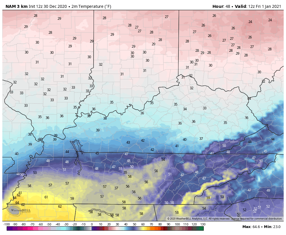
Watch the temp drop behind this front. Here are the numbers from 7pm this evening through 7pm New Year’s Eve…

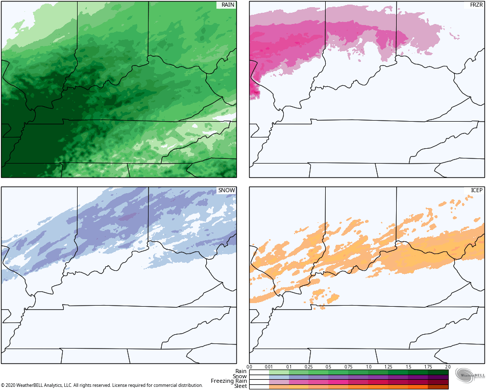
All models are now seeing some winter weather right behind the front late tonight and Thursday morning…
HRRR
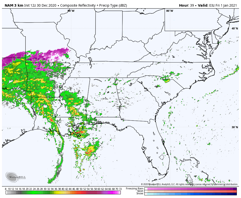
NAM

GFS

CANADIAN

Our strong low pressure then takes over across the lower Mississippi Valley and lifts northward. This brings gusty winds and rounds of rain and storms rolling across the area. If you look at the future radar from the Hi Res NAM for New Year’s Day, you will notice a small squall line developing in central Kentucky at the end of the run at 7pm…
Check out the temperature surge ahead of the low…
I’m back on WKYT starting at 4 and will have the latest on this mess there and with another update on KWC this evening.
Have a good one and take care.

Looks good for all rain in Richmond. All the salt needs to wash away.
We finally got our first major snowfall of the season yesterday here in the Chicago Metro area, as it snowed heavily for almost four hours late in the afternoon through early evening. It snowed at the rate of an inch an hour, as 4.2 inches of snow fell at the NWS forecast office in the SW suburbs and 2.6 inches fell at Chicago’s O’Hare Airport.
The snow eventually changed to a light mix of freezing precipitation and then ended as a little rain as temps rose to just slightly above freezing. The snow compacted down and made for a slushy mess to shovel.
There’s still a couple inches on the ground with temps falling, and it looks a lot more like winter finally.