Good evening, folks. A strong cold front is dropping into the region from the northwest, bringing heavy rain, gusty winds and crashing temps. By the time we wake up tomorrow morning, a wintry mess is likely to show up across parts of the state. Behind all this comes a stronger storm system slated to arrive to kick off 2021.
I’ve been highlighting the winter weather potential for several days now with this map…
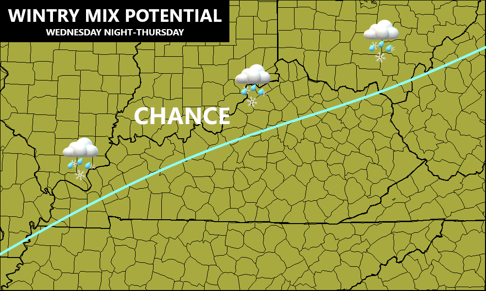
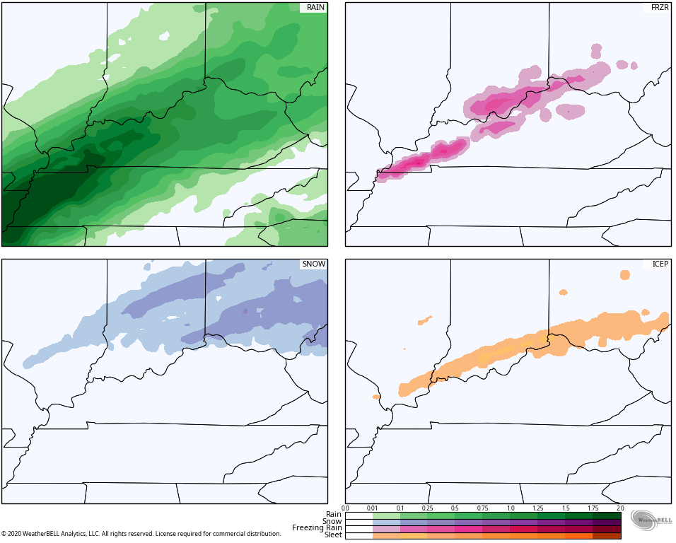
I’m now able to get more specific on the areas most at risk…
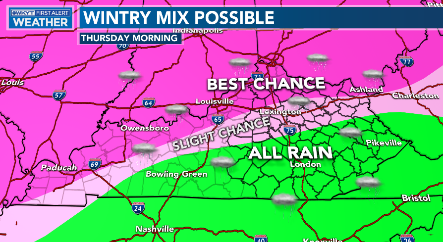
Slushy accumulations may very well show up with this and we will need to follow the transition process very closely. Many situations like this find the temps dropping faster and lower.
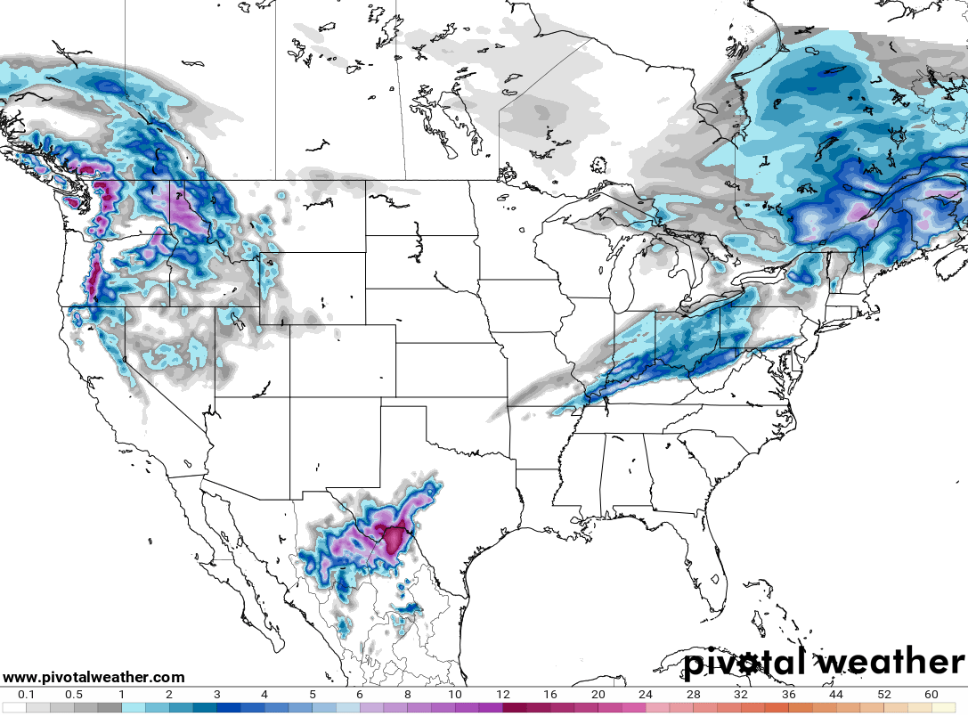
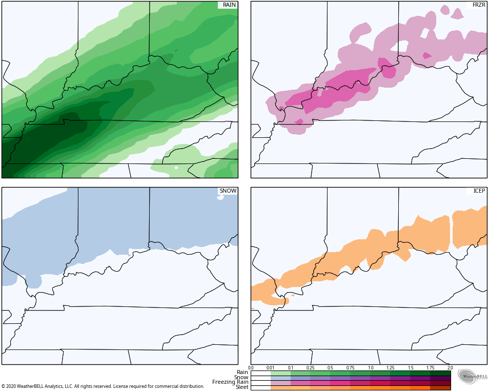
The models are picking up on this risk, especially the short range models. Here’s the HRRR…
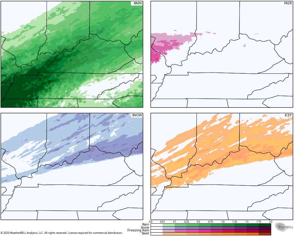
RAP
Even the NAM is showing things a little better…
The GFS…
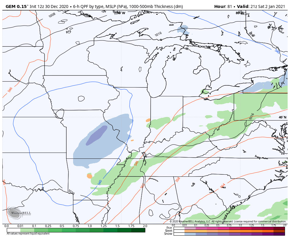
As the strong low rolls up the Mississippi River Valley New Year’s Day, our temps spike back toward the 60s for a time. Winds become very gusty as more rain and a few thunderstorms show up.
Colder air comes in behind this for Saturday with another system arriving Saturday night into Sunday. This brings rain and some snow back into town…
I will have the latest on WKYT-TV starting at 11 and with another update here on KWC later tonight. Until then, let’s follow the progress of the rain and our front with our radars…

Enjoy the rest of the evening and take care.

enough with the bragging as Ibeen saying this for days now. what bout high water cocerns with the wet ground and snow we had.
wooooooooooooo!!!!!!!!! come alive my brothers and sisters!!!!!! lets get in old school blog mold!!!!!!!!!!!!!!! good to see bailey back in da office for 1 day this week!!!!!!!!!!!
Ohio River counties be prepared.
I’m with R2 – I love it when the regulars from yesteryear reappear!
I got a little snow and sleet this evening, I measured 0.6” and I’m up to 2.1” on the season here near Bloomington, IN.