Good Wednesday, folks. It’s a pretty decent weather day taking shape for much of the region, but things get a little wild starting late Thursday. That’s when a big time wind maker blows into the region, kicking off a very active setup that will bring arctic cold and snow threats in here over the weekend through next week.
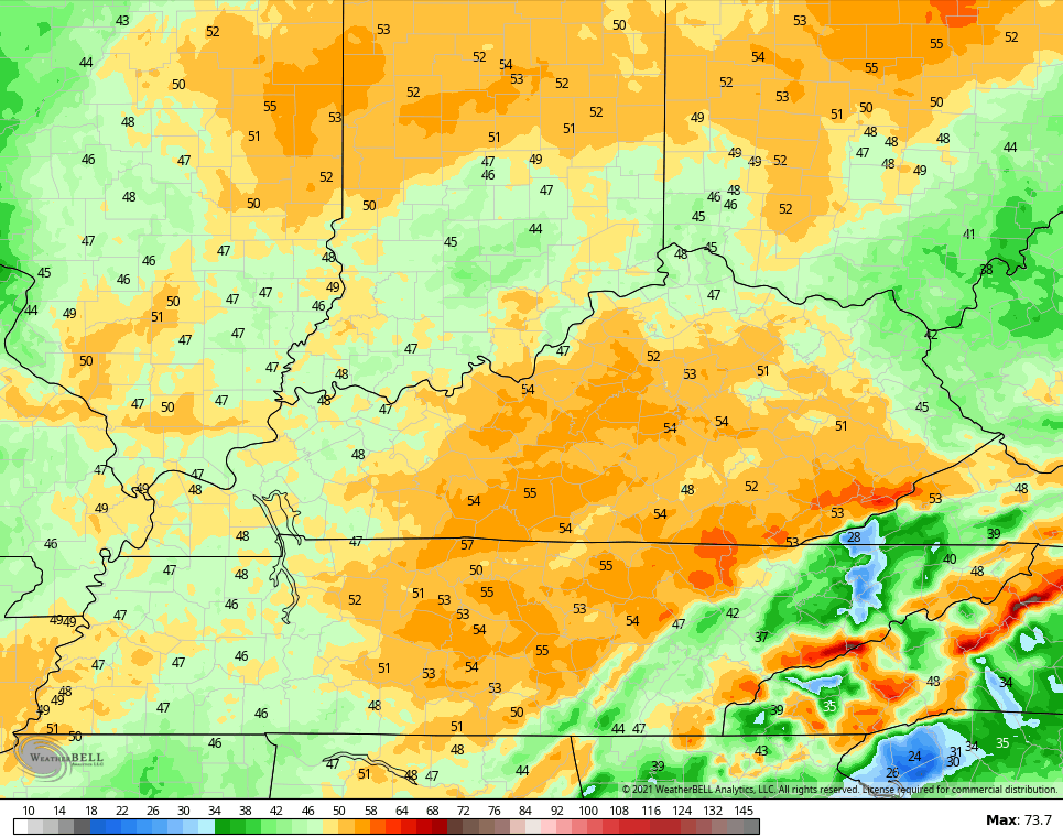
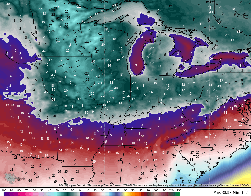
Our day starts with some leftover flurries and even a stray snow shower in the southeast. As the day wears on, some sunshine takes over with temps reaching the mid and upper 30s for much of central Kentucky. The west features temps hitting 40 and above.
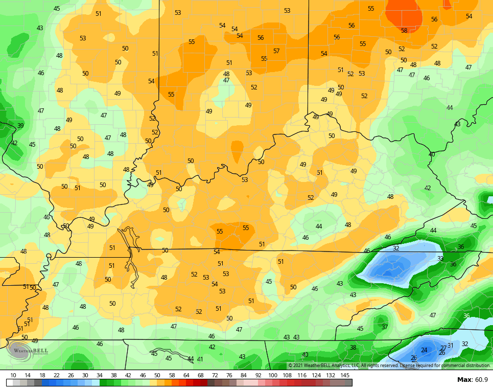
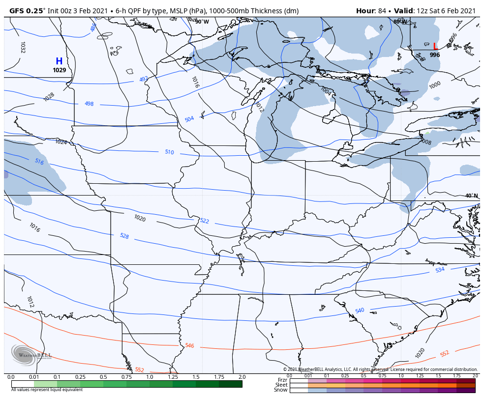
Everybody gets in on the 40s on Thursday as we get in on a strong southwesterly wind ahead of a potent cold front. Those winds are going to absolutely crank and may push 50mph at times…
NAM
Hi Res NAM
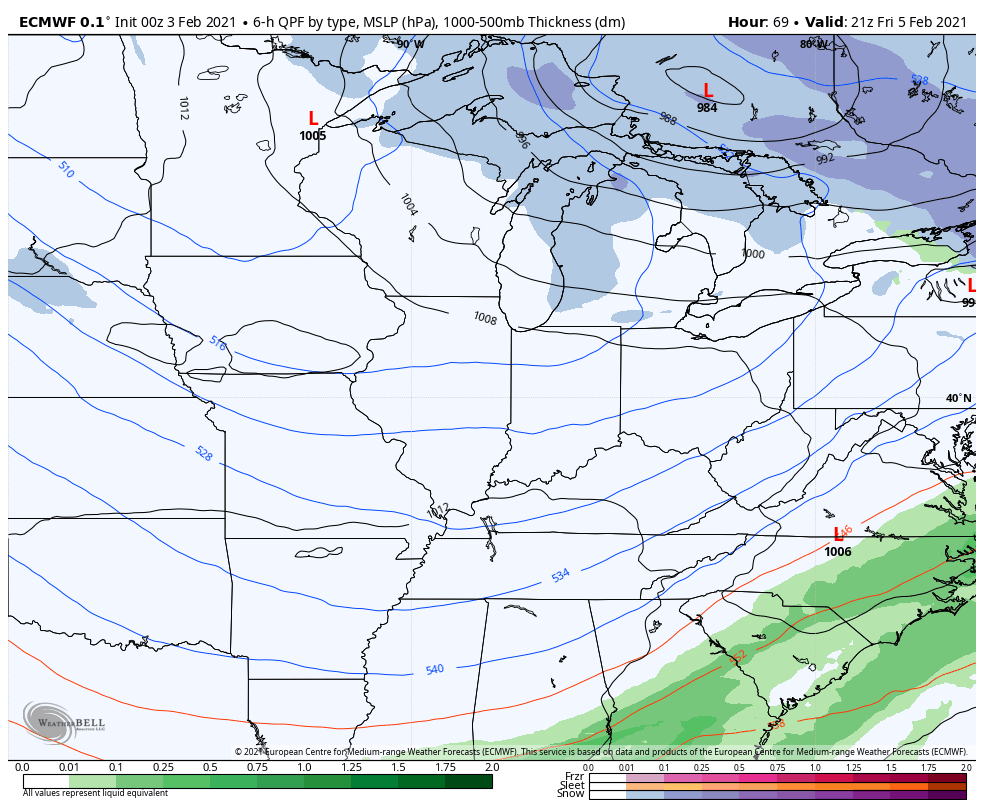
Rain ahead of this system will switch over to a touch of snow from west to east Thursday evening into the wee hours of Friday morning. Some very minor accumulations will be possible, but I don’t see much from this. With temps quickly dropping into the 20s, a quick freeze up of all that moisture could cause some travel issues. Wind chills may drop into the high single digits and low teens by Friday morning.
The rest of Friday is chilly with some sun.
That brings us to the weekend and the beginning of a bitterly cold setup for much of the country. The evolution of this is still in doubt, but we are seeing better signs of how it will try to play out. In essence, the arrival of the bitter cold is slowed down a bit by several snow systems skirting on the southern edge of it and this may start as early as Friday night.
Let me say right off the bat that the models will continue to change from run to run on how they handle all this. These smaller systems showing up initially won’t take much to get any one of them to blow up into something bigger.
The EURO and Canadian bring that first snow streak by Friday evening and Friday night with additional systems behind it…
EURO
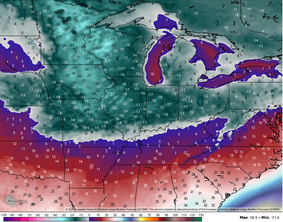
Notice how the EURO brings takes the Polar Vortex deep into the Great Lakes at the tail end of the run by the middle and end of next week, instead of the beginning of the week. Lows for Thursday and Friday on that run…
Just how cold is this run of the model? It takes the end of the week storm track so far south that the model says it snows in Florida…
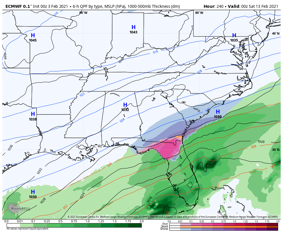
Now, before folks in the Sunshine State head to the nearest Publix for milk and bread, let them know the model will show something different on the next run. 😏
Back in our region, the Canadian Model also shows a series of light snow makers early on with a couple that try to blow up into something more during the week…
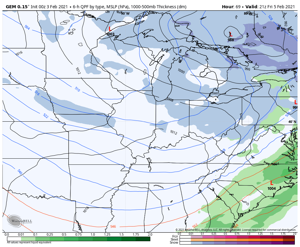
That also brings the Polar Vortex into the Great Lakes for the middle and latter part of the week and brings the core of the brutal cold farther south…
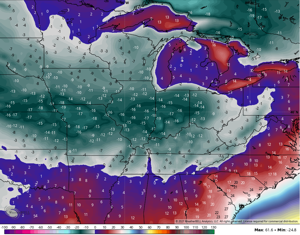
The GFS has a similar thought process for the weekend and early week setup…
So again, this is such an extreme pattern taking shape across the country that the models can’t handle it all. They can’t handle so many different systems working around the edge of a brutal cold air mass, so cut them a little slack for a while. You will continue to see changes with each run.
Of course, I will be here to follow those runs and offer whatever input I can give on them. 🥶 Updates will come later today. Have a good one and take care.

This week is the ten-year anniversary of one of the heaviest snowstorms to ever hit the Chicago area, the Groundhog Day Blizzard, which was accompanied by lightning and thunder. It lasted from Jan. 31st – Feb. 2nd, 2011, and affected a large part of the central US, with Blizzard Warnings issued for parts of nine states from Oklahoma to Michigan. Winds gusted from 50 -60 MPH and even higher in the Chicago area, with visibility near zero at times. Chicago’s O’Hare Airport received 21.2 inches of snow over the three days, which is the third-largest snowstorm on record for Chicago. 12 to 24 inches of snow fell throughout the Chicago Metro area.
http://weather.gov/lot/2011blizzard
en.wikipedia.org/wiki/January_31_-_February_2%2C_2011_North_American_blizzard
Mike, maybe Chicago’s Snow total for the Winter will increase this month and again in March ?
At this time, there is no way of telling.
It seems like now days weather forecasting is getting more unreliable until the final hour.
However, the January, 1978 Blizzard was not predicted and neither was the Arctic Air following.
Which made it more difficult to prepare.
Hopefully, the future will advance weather forecasting (long range) more accurately.
Schroeder you said the words out of my mouth about the January 78 blizzard. I don’t like this setup at all that’s coming.
Yep, forecaster’s are confused about where the Arctic Air will enter the US and how far South the coldest Air will get.
It’s just a wait and see game now.
Sticking with the “no ice is a win” mantra, since this is apparently the longest KY has gone in a century or more without a big ice event. The ingredients seems in place to create the chance. I f CB says we have a chance for either big ice or snow, seems ice probably wins that bet.