Good afternoon, folks. A strong cold front is blowing through the Commonwealth and it’s bringing gusty winds, heavy rain, crashing temps and the possibility for a touch of snow. This active pattern keeps going through the weekend when two more systems target the area. The Super Bowl Sunday storm system is trying to stage a comeback.
You guys know my thoughts on the current setup, so I’m not going to rehash all of it. Here are your radars to follow the wintry mix and rain…

A weak system zips through here Friday night with a small band of snow. The future radar from the Hi Res NAM has this impacting northern Kentucky…
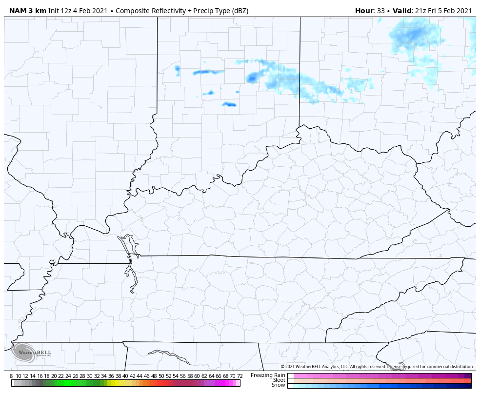
A narrow band of light accumulations is possible with this.
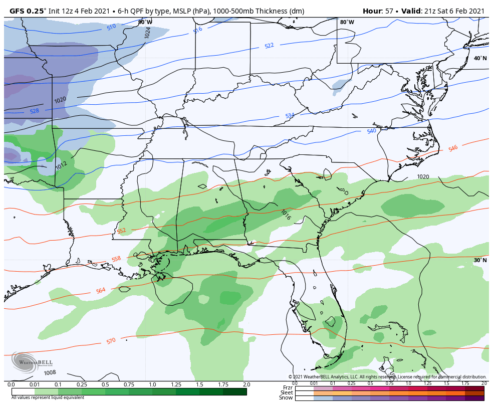
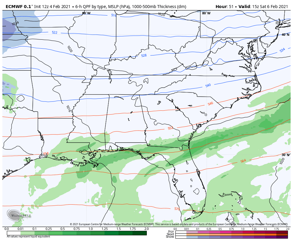
The Super Bowl Sunday system is back showing up much stronger on some of the models. The GFS is very close to getting a phased storm system from late Saturday into Sunday. As is, this run has a healthy snow hit across parts of the east and southeast…
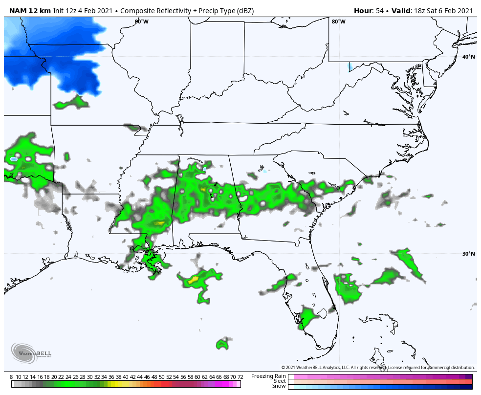
The NAM is also trying to do the same thing…
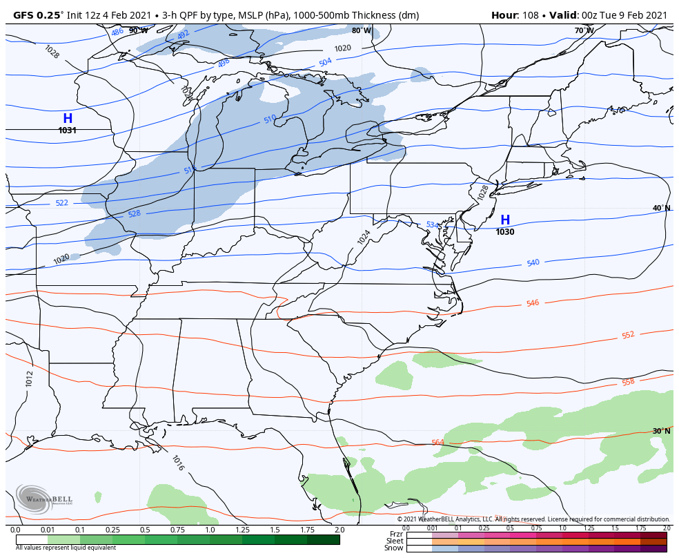
The GFS is bringing another snow system through here on Tuesday with the potential for a bigger system later in the week…
The EURO has been all over the place, but is going in the direction of the GFS with all of the above systems. Here’s the weekend one…
And later in the week…
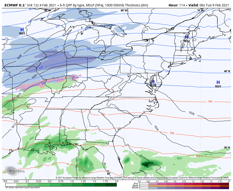
Both models unleash the brutal cold behind this system…
EURO

GFS

Again, the details and the timing of everything continues to be a work in progress, but you can see much more of a general trend settling in on the models.
I will have the latest on WKYT through the evening and with another KWC update this evening. Make it a good one and take care.

If you love snowfall E. Ky. has been the place
to be this year.
Looks like Louisville will not be much of
a player again this Sunday.
Yep. Looks like we’ll just sit & shiver and watch everyone else get the snow.
Just like it has been all Winter.
Im right there with you Chris. I do not even want to think about snow, cold, ice, WINTER… I already want it to be Spring, 70s, longer daylight. The good stuff.
Sounds good the way you put it. Yeah, I like Spring and Sunshine and plants leafing out and blooming ornamental plants in various landscapes.
Several things that I will miss is using the weed wacker, and other yard work that I use to look forward to in the Spring and Summer.
Last September late, my lower back decided to go out on me and now I’m crippled. That’s the way it goes the older you get, but it is very depressing not to be able to go on a simple walk.
great work as always bailey boy!!!
Based on the title, seems snow is not the most confident component here. We had a few winters like this a few times where plenty of ingredients in the outlooks, but no big snow dish was served. Whatever happens, a lot of us got the rare White Christmas.
Three Winter events that stand out the thirteen years I’ve been living in Central Kentucky. Number one: the 2009 Ice storm, Number two: Snowstorm in 2015 and number three: Snowstorm in 2016.
System for super bowl weekend has trended NW.Nam has the Northern and Southern stream phasing.GFS para also has a nice snow.Would like to see the southern stream amp up and become stronger.May rain but as Chris says go big or go home.
If that scenario does come to fruition, it will be probably to late for a decent snowfall west of I-65.
In reality I have give up on the snow chances here in Western,ky. Ready for team spring