Good evening, everyone. Your friendly weatherdude is still going strong as our ice/winter storm finally wraps up across southeastern Kentucky. The overall pattern continues to be locked and loaded with significant winter weather. We have already put out a Winter Storm THREAT from Sunday night-Tuesday.
In the short-term, freezing rain and a mix continues to wind down in the southeast. Some flakes or areas of freezing drizzle may show up else where as gusty winds throw some single digit wind chills at us this evening.
Here are your radars to follow the icy mix out of the southeast…

Clouds look stubborn for many on Friday as little melting takes place for many.
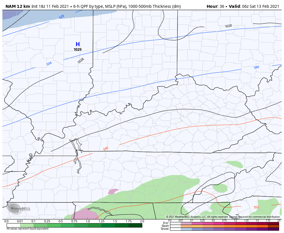
Another system rolls in for Saturday and Saturday evening and is likely to bring a touch of light snow and light freezing rain/sleet…
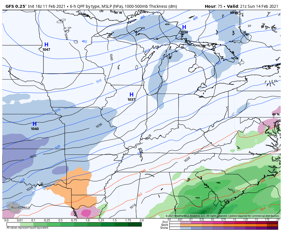
The storm coming after this is likely to be another major winter storm for Kentucky and surrounding areas. Significant amounts of snow, sleet and freezing rain will be likely, but who gets what of each won’t be known for another day or so. Another winter storm comes in behind that later in the week, but the models really vary with the track of that thing. Here’s the late day GFS…
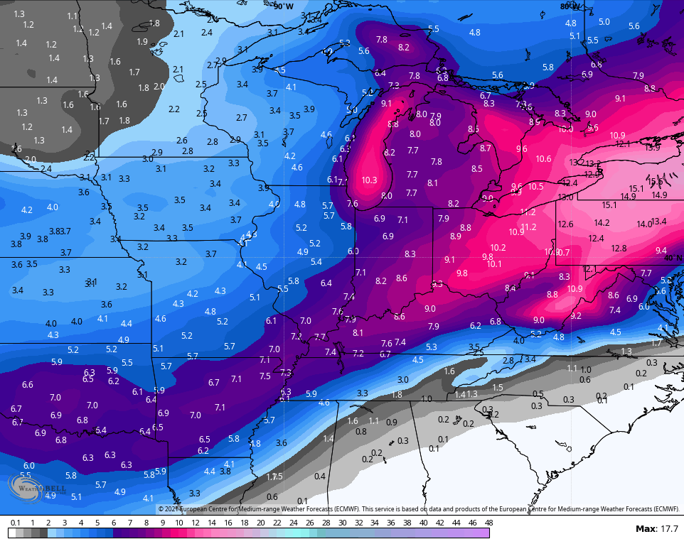
Both of these storms will have arctic cold temps to work with and that will make for some very high ratio snows. To illustrate the potential ahead, the average snowfall (10-1 ratio) from the 51 member EURO Ensembles looks like this…
I will have break the Winter Storm THREAT down in greater detail coming up with my late night post. That’s if I can stay awake. 😴😋
Enjoy the rest of the day and take care.

Maybe people who live west of I-65 will finally get an invitation to the snow party.
Thanks Chris, I’m tired too. Going to bed.
lol