Good evening, everyone. Here’s hoping this post finds each of you staying safe and staying warm as we come out of this historic winter pattern. While we have one more night of bitterly cold air, the overall forecast looks MUCH better for the weekend and, especially the week ahead of us.
Temps tonight will reach the single digits for areas where skies clear. Parts of western Kentucky went well below zero this morning and I can’t rule out some below zero numbers tonight in some of the colder valleys.
Temps recover quickly Saturday afternoon with a wide range showing up. Highs go from the upper 20s to the low 40s.
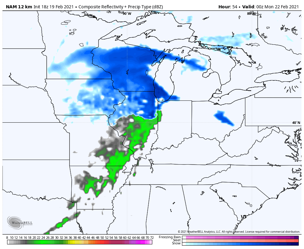
The melt REALLY begins on Sunday as southwest winds boost temps up into the 40s. This is ahead of a quick hitting cold front that brings gusty showers in and out Sunday night…
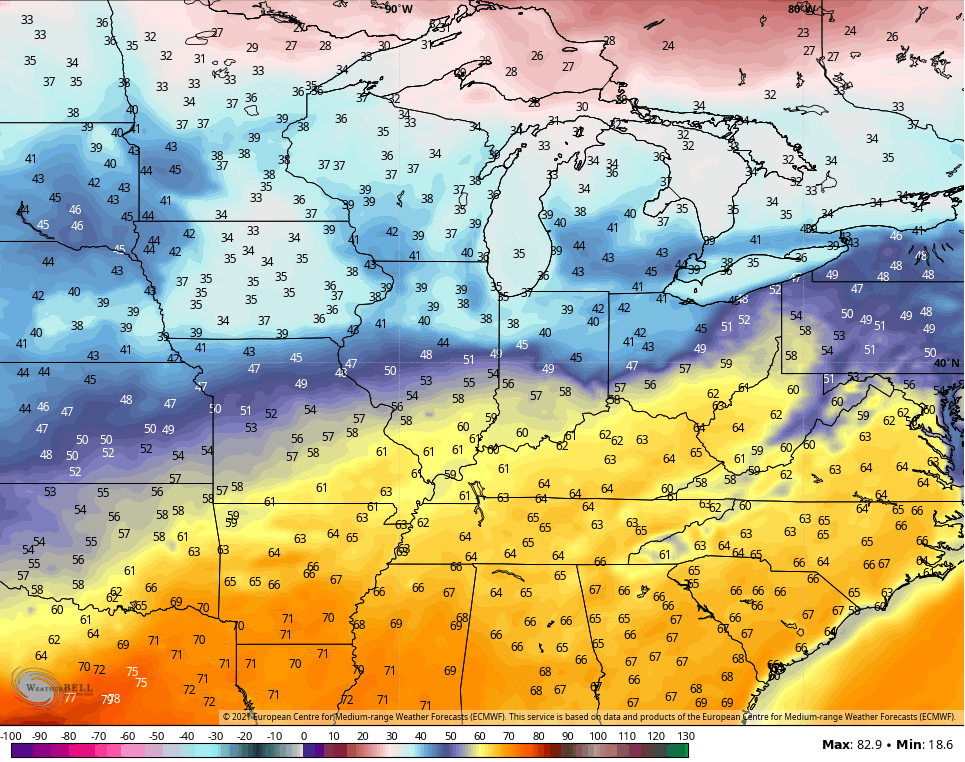
Temps behind that aren’t cold at all. As a matter of fact, the numbers take off Tuesday and Wednesday and could reach 60 for many…
YESSSSSSSSSSSSSSSSSSSSSSSSSSSSSSS!!!!!!!!!!!!!!!!!!
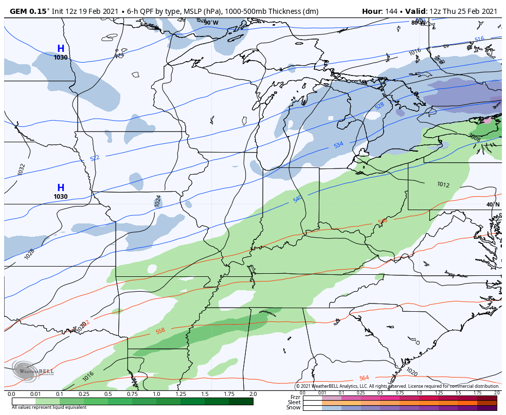
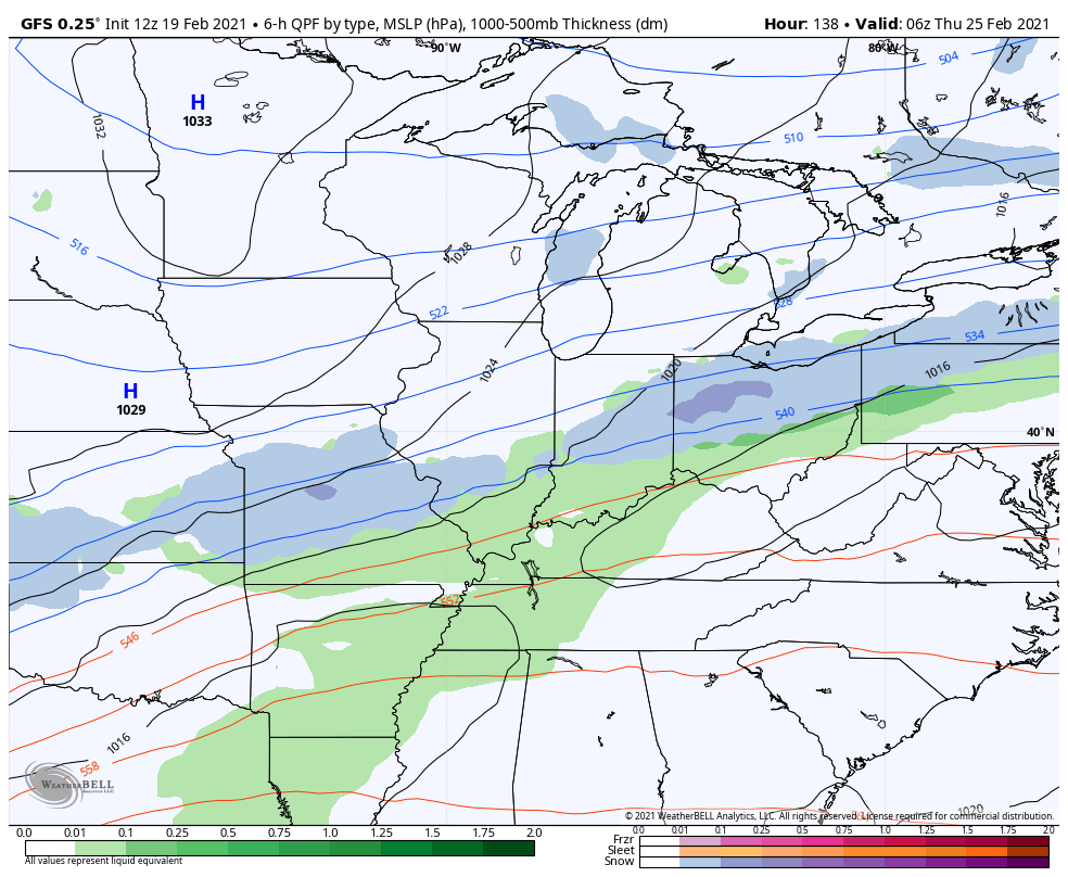
A cold front does come in here on Thursday and could have a wave of low pressure along it by late Thursday into Friday. This may actually produce some snow around here. After that, the pattern should spike the numbers up with another storm system.
Here’s the Canadian…
The GFS
The EURO
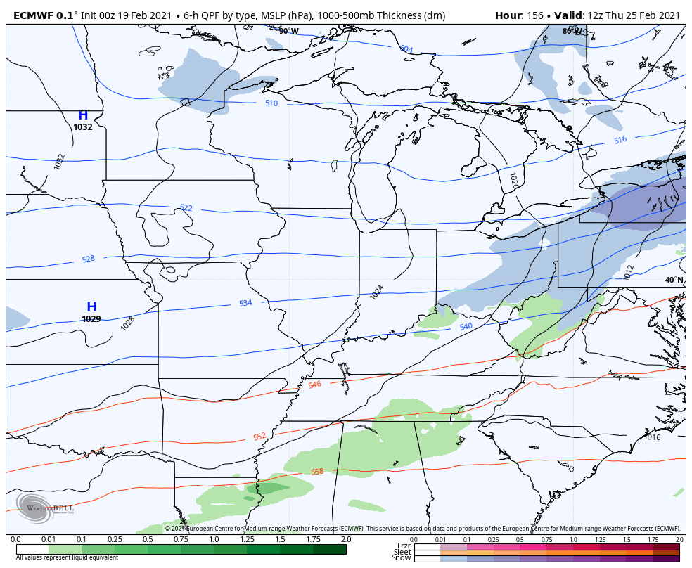
That would pretty much be typical Kentucky weather. Go from 60s to a snow event a day or two later.
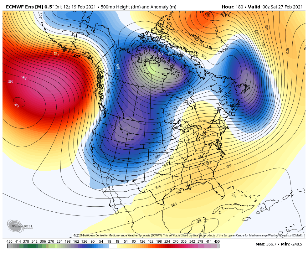
Looking farther down the road, you can see a ridge building in across the eastern half of the country to start March, but the EURO Ensembles have another trough crashing in after that…
Enjoy the rest of the day and take care.
