Good Sunday to one and all. With all the gorgeous scenery of the past few days, the thaw kicking in today is going to do a number on it. This is going to make for some ugly snowmen and snowwomen out there today and they will get uglier in the coming days. That’s when temps really kick into high gear with 60 a possibility by the middle of the week.
Temps out there today top out in the 40s for most of the state, but may hit 50 in the far south and west. This comes on a southwest breeze kicking in ahead of a cold front that moves in tonight. Showers will increase from west to east as this fast-mover zips in and out by mid-morning Monday. Here are your radars to follow the rain into western Kentucky…

Partly sunny skies take over behind this for Monday afternoon with highs from the upper 30s to middle 40s.
From there, temps take off for Tuesday into Wednesday and may reach 60 degrees. Here’s the GFS:
Tuesday Highs

Wednesday Highs

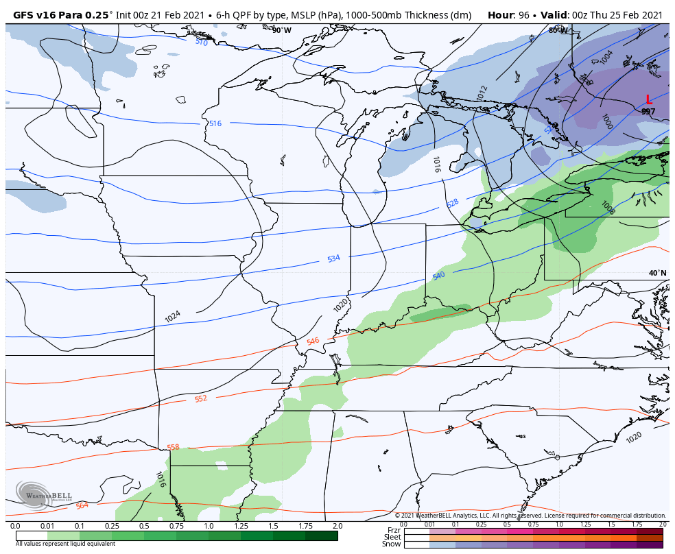
The GFS then brings a cold front in here and takes us on a roller coaster temperature ride for the remaining days of February into the start of March…
Looking into early March, #TeamSpring is liking the look of the European Ensembles…

Unfortunately, the EURO Ensembles haven’t had a stellar run over the past several months.
I’ll hook y’all up with another update later today. Have a good one and take care.

I’m already thinking, “Come on, one more snow shot and cold blast – just one.” Before we know it it will 90 and humid…. (But, I like that too!)
90 and humid…. now that sounds like weather perfection! #TeamSpring
That sounds like #teamAugust