Good afternoon, folks. It’s a spring like day across the bluegrass state as we continue to focus on the potential for severe storms over the next few days. This threat comes from a bowling ball type low pressure that rolls in from the west later Wednesday and Thursday.
Odds continue to favor a major severe weather outbreak just to our southwest on Wednesday. The Storm Prediction Center is out with a Moderate Risk area in the south…

The Marginal, Slight and Enhanced areas get into western and southwestern parts of Kentucky…

Damaging winds, large hail and a few tornadoes will be possible.
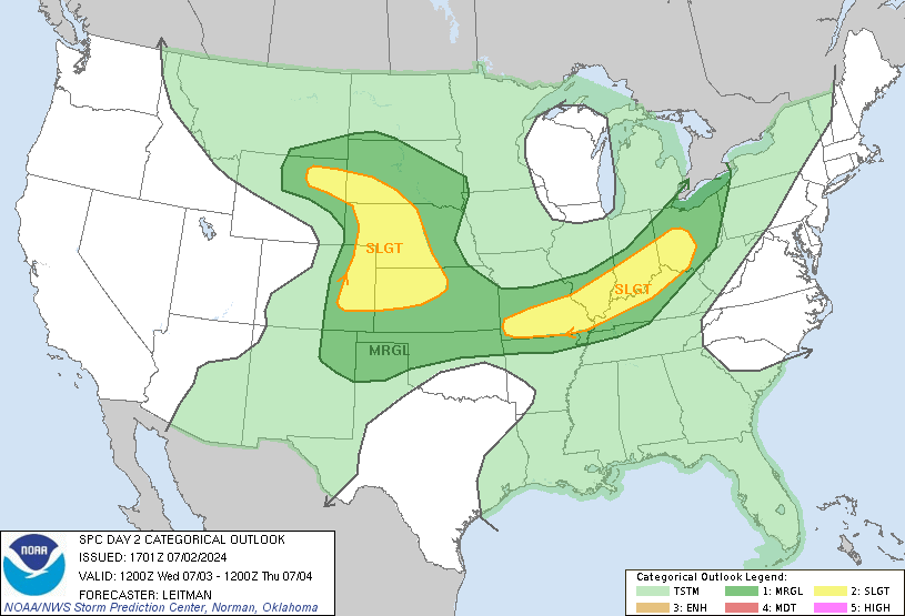
As the low moves into our region Thursday, instability will increase along and ahead of the track of the low. This will likely spawn severe storms across much of central and eastern Kentucky and the SPC already has a Marginal to Slight Risk out…

A few of those storms may spin as they move through, so a quick-hitting tornado or two can’t be ruled out across central and eastern Kentucky.
These storms will also bring heavy rains to the region. The latest GFS is really slamming areas of southeastern Kentucky…
The Canadian is a little more spread out…
I will have the latest updates on the severe threat through the evening on WKYT-TV. Enjoy the rest of the day and take care.
Typical spring weather.
Thanks Chris! Looking fwd to hearing the rolling thunder and enjoying these warmer temps.