Good Monday, folks. Here’s hoping each of you had a wonderful Easter Weekend as Mother Nature gave us a dandy. The first full week of April is kicking off and it’s feeling more like early May with temps deep into the 70s for several days in a row. These mild temps will be ahead of some storms rumbling in here for the second half of the week.
Let’s begin with the precious present and roll forward. Highs today are generally in the low and middle 70s with a mostly sunny sky.
The numbers jump even more for Tuesday with mid and upper 70s as winds gust up from the southwest. This southwest flow continues into Wednesday and Thursday as a storm system wraps up to our west. If we can get enough sunshine, temps may flirt with the 80 degree mark.
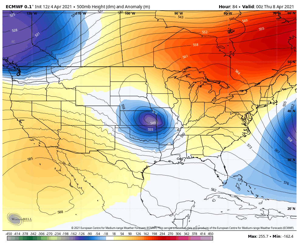
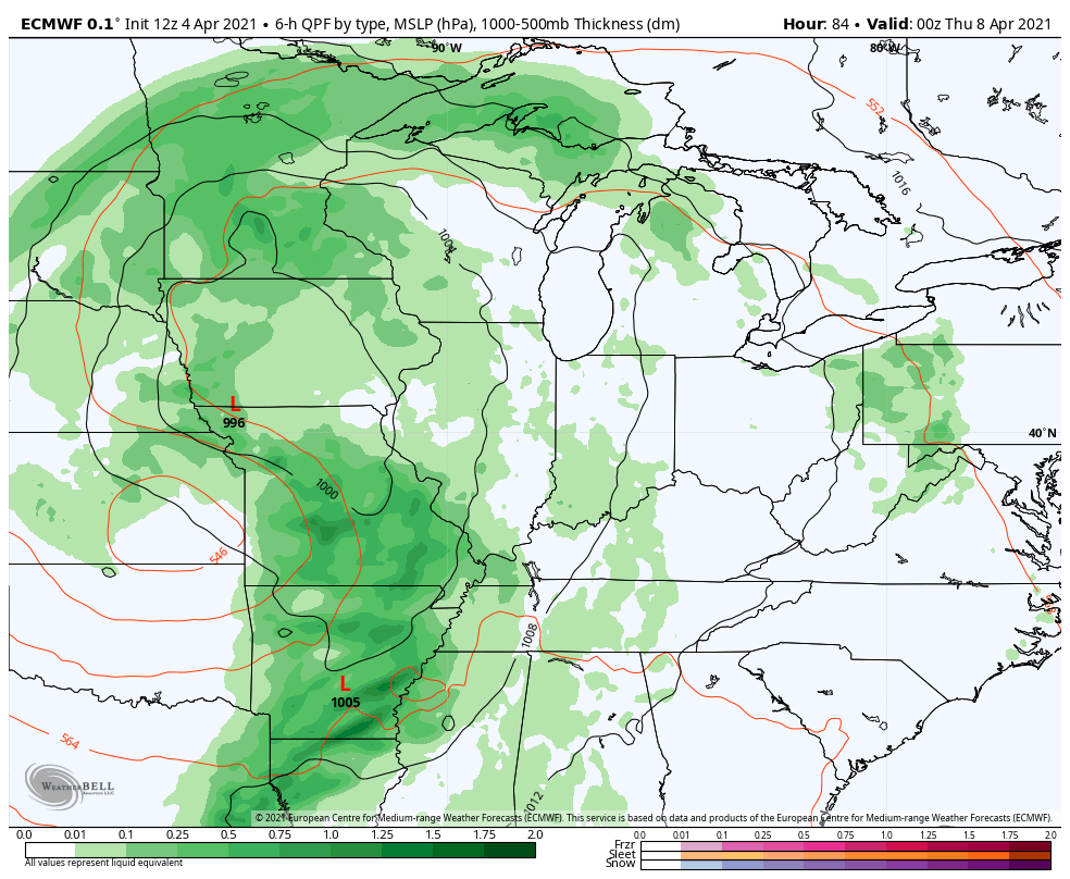
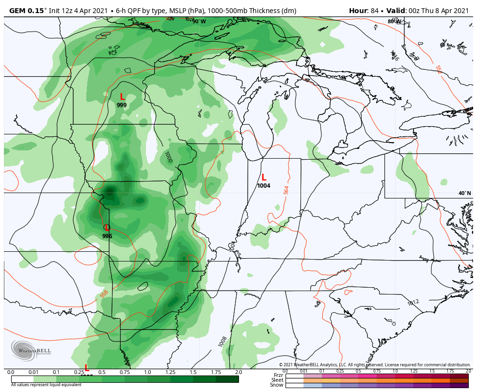
Once into the middle of the week, the pattern takes on a rather blocky look across North America. This usually means some pretty big run to run issues for the computer models as they will differ on how to handle cutoff systems spinning across the country.
The initial system will likely spin to our north and west Wednesday and Thursday, putting us in line for a few rounds of showers and storms. The models, as I just mentioned, then differ on how to handle the ones behind it through the weekend and early next week.
The EURO continues to keep these spinning mainly northwest…
That setup keeps our temps very warm, but does provide us with the opportunity for some strong storms from time to time…
The Canadian is in line with this thinking…
I’m for whatever setup it takes to keep us warm. 😎
Have a great Monday and take care.

It was a sunny, breezy, gorgeous weekend in the Chicago area! It hit 71 on Saturday and 76 on Sunday at O’Hare Airport, which was just three degrees away from tying the all-time record high for the date. This after a wind chill index down in the teens on Thursday and Friday mornings.
These were our first 70-degree temps since last November 10th, nearly five months ago.
72 degrees here yesterday making it a quiet, beautiful Easter Sunday.
Don’t like hearing about ‘cut off low pressure systems’ as this could mean a prolong rain event.
Let along the potential for severe weather.